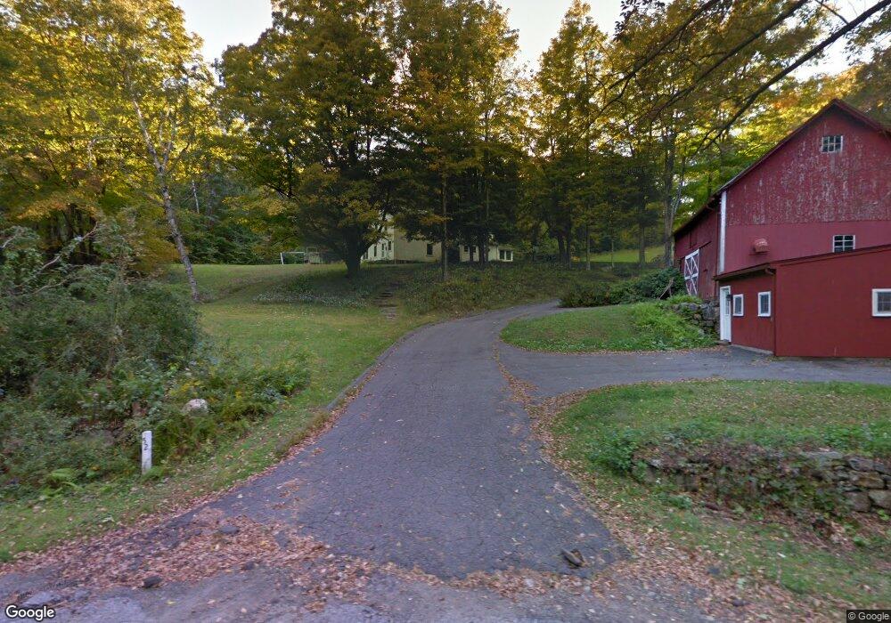
52 Howe Rd Litchfield, CT 06759
Estimated Value: $732,000 - $1,154,000
3
Beds
3
Baths
3,034
Sq Ft
$287/Sq Ft
Est. Value
About This Home
This home is located at 52 Howe Rd, Litchfield, CT 06759 and is currently estimated at $870,571, approximately $286 per square foot. 52 Howe Rd is a home located in Litchfield County with nearby schools including Center School, Litchfield Intermediate School, and Litchfield High School.
Ownership History
Date
Name
Owned For
Owner Type
Purchase Details
Closed on
Oct 29, 2025
Sold by
Terhune Margaret B
Bought by
Frank Gregory and Anderson Kathryn
Current Estimated Value
Purchase Details
Closed on
Jan 28, 2005
Sold by
Terhune Margaret
Bought by
Seppler Shawn and Seppler Angelica
Home Financials for this Owner
Home Financials are based on the most recent Mortgage that was taken out on this home.
Original Mortgage
$58,000
Interest Rate
3.5%
Mortgage Type
Purchase Money Mortgage
Create a Home Valuation Report for This Property
The Home Valuation Report is an in-depth analysis detailing your home's value as well as a comparison with similar homes in the area
Home Values in the Area
Average Home Value in this Area
Purchase History
| Date | Buyer | Sale Price | Title Company |
|---|---|---|---|
| Frank Gregory | $30,000 | -- | |
| Seppler Shawn | $58,000 | -- | |
| Seppler Shawn | $58,000 | -- |
Source: Public Records
Mortgage History
| Date | Status | Borrower | Loan Amount |
|---|---|---|---|
| Previous Owner | Seppler Shawn | $58,000 |
Source: Public Records
Tax History Compared to Growth
Tax History
| Year | Tax Paid | Tax Assessment Tax Assessment Total Assessment is a certain percentage of the fair market value that is determined by local assessors to be the total taxable value of land and additions on the property. | Land | Improvement |
|---|---|---|---|---|
| 2025 | $9,232 | $461,610 | $107,370 | $354,240 |
| 2024 | $8,540 | $461,610 | $107,370 | $354,240 |
| 2023 | $8,628 | $323,150 | $94,700 | $228,450 |
| 2022 | $8,660 | $323,150 | $94,700 | $228,450 |
| 2021 | $8,919 | $323,150 | $94,700 | $228,450 |
| 2020 | $613 | $323,150 | $94,700 | $228,450 |
| 2019 | $9,113 | $323,150 | $94,700 | $228,450 |
| 2018 | $9,499 | $342,930 | $111,560 | $231,370 |
| 2017 | $9,465 | $342,930 | $111,560 | $231,370 |
| 2016 | $9,156 | $342,930 | $111,560 | $231,370 |
| 2015 | -- | $342,930 | $111,560 | $231,370 |
| 2014 | $8,642 | $342,930 | $111,560 | $231,370 |
Source: Public Records
Map
Nearby Homes
- 0 Wheeler Rd
- 67 E Litchfield Rd S
- Lot 2 Birch Hill Rd
- 544 Litchfield Rd
- 191 Birch Hill Rd
- 184 Campville Hill Rd
- 184 Fern Ave
- 8 Haley Ln Unit 8
- 448 Litchfield Rd
- 0 Reder Rd Unit 24133780
- 250 Hunter Dr Unit 250
- 258 Hunter Dr Unit 258
- 11 W Chestnut Hill Rd
- 136 Peck Rd
- 0 Sally Burr Rd
- 0 Decker Dr Unit 24148478
- 405 Hunter Dr Unit 405
- 0 Northfield Rd
- 426 Torrington Rd
- 0 Peck Rd