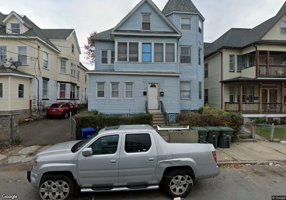
52 James St Unit 54 Bridgeport, CT 06604
The Hollow NeighborhoodEstimated Value: $351,155 - $532,000
6
Beds
2
Baths
3,288
Sq Ft
$133/Sq Ft
Est. Value
About This Home
This home is located at 52 James St Unit 54, Bridgeport, CT 06604 and is currently estimated at $436,789, approximately $132 per square foot. 52 James St Unit 54 is a home located in Fairfield County with nearby schools including Geraldine Johnson School, Bassick High School, and Catholic Academy of Bridgeport-St. Augustine Academy.
Ownership History
Date
Name
Owned For
Owner Type
Purchase Details
Closed on
Oct 20, 1992
Sold by
Citicorp Mtg Inc
Bought by
Eccleston Etta and Eccleston Horace
Current Estimated Value
Home Financials for this Owner
Home Financials are based on the most recent Mortgage that was taken out on this home.
Original Mortgage
$40,500
Interest Rate
7.93%
Mortgage Type
Unknown
Purchase Details
Closed on
Sep 16, 1988
Sold by
Civil Pauline
Bought by
Joseph Yvette
Create a Home Valuation Report for This Property
The Home Valuation Report is an in-depth analysis detailing your home's value as well as a comparison with similar homes in the area
Home Values in the Area
Average Home Value in this Area
Purchase History
| Date | Buyer | Sale Price | Title Company |
|---|---|---|---|
| Eccleston Etta | $45,000 | -- | |
| Eccleston Etta | $45,000 | -- | |
| Joseph Yvette | $168,000 | -- |
Source: Public Records
Mortgage History
| Date | Status | Borrower | Loan Amount |
|---|---|---|---|
| Closed | Joseph Yvette | $40,500 | |
| Closed | Joseph Yvette | $0 |
Source: Public Records
Tax History Compared to Growth
Tax History
| Year | Tax Paid | Tax Assessment Tax Assessment Total Assessment is a certain percentage of the fair market value that is determined by local assessors to be the total taxable value of land and additions on the property. | Land | Improvement |
|---|---|---|---|---|
| 2025 | $7,128 | $164,060 | $35,930 | $128,130 |
| 2024 | $7,128 | $164,060 | $35,930 | $128,130 |
| 2023 | $7,128 | $164,060 | $35,930 | $128,130 |
| 2022 | $7,128 | $164,060 | $35,930 | $128,130 |
| 2021 | $7,128 | $164,060 | $35,930 | $128,130 |
| 2020 | $6,532 | $120,980 | $16,000 | $104,980 |
| 2019 | $6,532 | $120,980 | $16,000 | $104,980 |
| 2018 | $6,578 | $120,980 | $16,000 | $104,980 |
| 2017 | $6,578 | $120,980 | $16,000 | $104,980 |
| 2016 | $6,578 | $120,980 | $16,000 | $104,980 |
| 2015 | $7,127 | $168,890 | $24,710 | $144,180 |
| 2014 | $7,127 | $168,890 | $24,710 | $144,180 |
Source: Public Records
Map
Nearby Homes
- 75 Sanford Ave
- 120 Milne St Unit 122
- 113 Milne St Unit 115
- 139 Highland Ave Unit 143
- 200 Harral Ave
- 213 Harral Ave Unit 215
- 183 Calhoun Ave
- 309 Pequonnock St
- 318 Center St
- 191 Oak St
- 1199 Iranistan Ave Unit 1201
- 1373 Iranistan Ave
- 592 Norman St Unit 594
- 826 Norman St
- 881 Lafayette Blvd Unit 5K
- 881 Lafayette Blvd Unit 1A
- 79 William St
- 100 Lorraine St
- 414 Wood Ave
- 1872 North Ave Unit 1874
- 54 James St Unit 1
- 42 James St Unit 44
- 62 James St
- 62 James St Unit First Floor Left
- 64 James St
- 64 James St Unit 2nd Fl.
- 64 James St Unit First Floor
- 53 Sanford Ave
- 53 Sanford Ave Unit 1ST
- 43 Sanford Ave
- 72 James St Unit 74
- 63 Sanford Ave
- 51 James St Unit 55
- 33 Sanford Ave Unit 35
- 82 James St
- 75 Sanford Ave Unit 2
- 75 Sanford Ave Unit 1
- 104 James St Unit 106
- 59 James St
- 86 James St