52 Johns Way Hampden, ME 04444
Estimated Value: $692,732 - $755,000
3
Beds
3
Baths
3,000
Sq Ft
$242/Sq Ft
Est. Value
About This Home
This home is located at 52 Johns Way, Hampden, ME 04444 and is currently estimated at $726,683, approximately $242 per square foot. 52 Johns Way is a home located in Penobscot County.
Ownership History
Date
Name
Owned For
Owner Type
Purchase Details
Closed on
Aug 5, 2010
Sold by
Graves Michelle R and Graves Gerard A
Bought by
Rand Craig B and Rand Elizabeth H
Current Estimated Value
Home Financials for this Owner
Home Financials are based on the most recent Mortgage that was taken out on this home.
Original Mortgage
$250,000
Outstanding Balance
$166,855
Interest Rate
4.73%
Mortgage Type
Commercial
Estimated Equity
$559,828
Purchase Details
Closed on
Jun 8, 2007
Sold by
Aaron Newcomb Bldg Constr
Bought by
Graves Michelle R and Graves Gerard A
Create a Home Valuation Report for This Property
The Home Valuation Report is an in-depth analysis detailing your home's value as well as a comparison with similar homes in the area
Home Values in the Area
Average Home Value in this Area
Purchase History
| Date | Buyer | Sale Price | Title Company |
|---|---|---|---|
| Rand Craig B | -- | -- | |
| Graves Michelle R | -- | -- |
Source: Public Records
Mortgage History
| Date | Status | Borrower | Loan Amount |
|---|---|---|---|
| Open | Graves Michelle R | $250,000 | |
| Previous Owner | Graves Michelle R | $205,000 | |
| Previous Owner | Graves Michelle R | $344,640 | |
| Previous Owner | Graves Michelle R | $205,000 |
Source: Public Records
Tax History Compared to Growth
Tax History
| Year | Tax Paid | Tax Assessment Tax Assessment Total Assessment is a certain percentage of the fair market value that is determined by local assessors to be the total taxable value of land and additions on the property. | Land | Improvement |
|---|---|---|---|---|
| 2024 | $8,489 | $542,400 | $96,600 | $445,800 |
| 2023 | $8,543 | $443,800 | $79,100 | $364,700 |
| 2022 | $8,166 | $394,500 | $70,300 | $324,200 |
| 2021 | $8,166 | $394,500 | $70,300 | $324,200 |
| 2020 | $8,048 | $394,500 | $70,300 | $324,200 |
| 2019 | $7,819 | $383,300 | $68,200 | $315,100 |
| 2018 | $7,066 | $360,500 | $68,200 | $292,300 |
| 2017 | $6,633 | $360,500 | $68,200 | $292,300 |
| 2016 | $6,552 | $360,000 | $68,000 | $292,000 |
| 2015 | $6,300 | $360,000 | $68,000 | $292,000 |
| 2014 | $6,309 | $360,500 | $68,200 | $292,300 |
| 2013 | $6,002 | $360,500 | $68,200 | $292,300 |
Source: Public Records
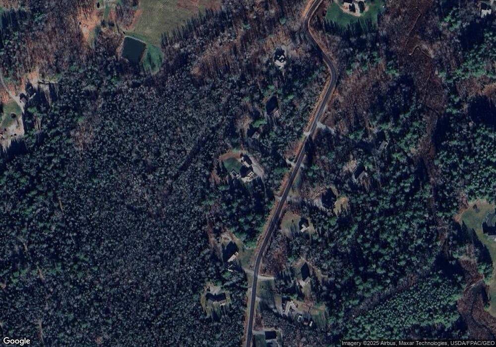
Map
Nearby Homes
- 594 Western Ave
- TBD Western Ave
- 59 Patterson Rd
- 9 Patterson Rd
- 45 Hughes Blvd
- Lot 25 Canaan Rd
- 0 Rt 1a (Honey Hill Estates) Unit Lot 2
- 0 Rt 1a (Honey Hill Estates) Unit Lot 19
- 0 Rt 1a (Honey Hill Estates) Unit Lot 10
- 0 Rt 1a (Honey Hill Estates) Unit Lot 7
- 0 Western Ave Unit 21258039
- 338 Western Ave
- 327 Western Ave
- 135 Mayo Rd Unit G
- 128 Mayo Rd Unit K
- 128 Mayo Rd Unit D
- 23 Ichabod Ln
- 22 Meadow Rd
- 0 Constitution
- 14 Hermon Pond Rd