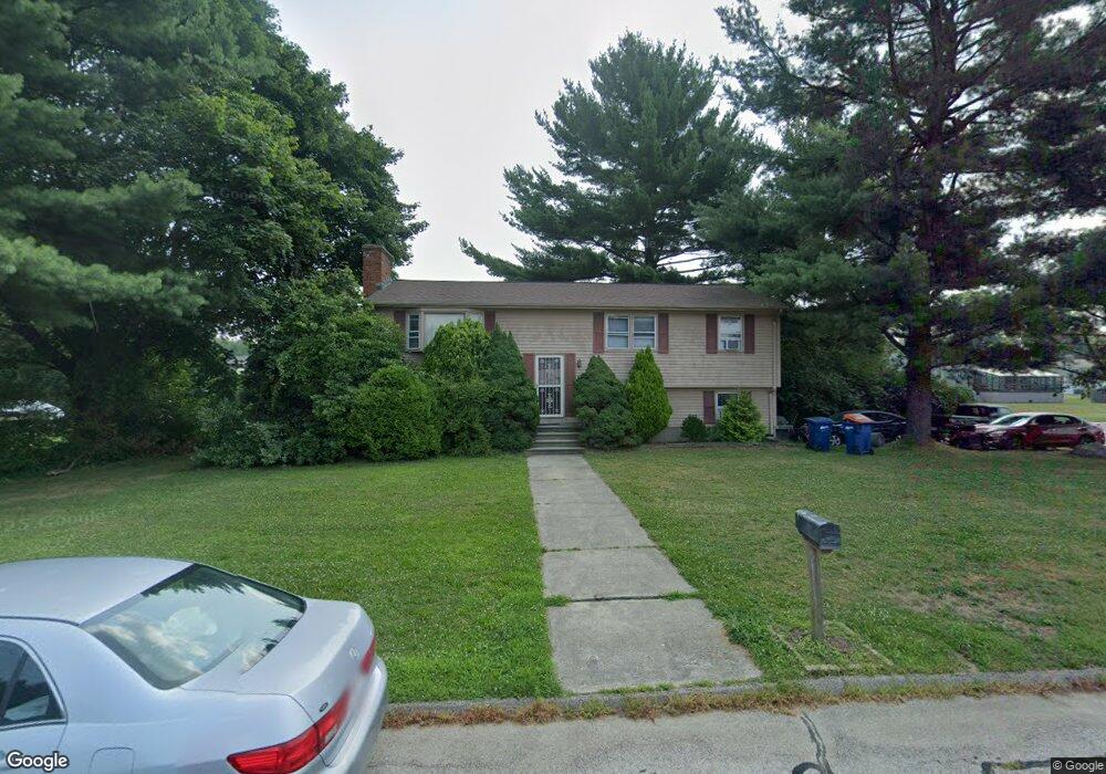
52 King Philip Rd Seekonk, MA 02771
Estimated Value: $516,000 - $573,000
3
Beds
2
Baths
1,144
Sq Ft
$465/Sq Ft
Est. Value
About This Home
This home is located at 52 King Philip Rd, Seekonk, MA 02771 and is currently estimated at $531,872, approximately $464 per square foot. 52 King Philip Rd is a home located in Bristol County with nearby schools including Seekonk High School, Ocean State Montessori School, and St Mary Academy-Bay View.
Ownership History
Date
Name
Owned For
Owner Type
Purchase Details
Closed on
Feb 26, 2009
Sold by
Burrus Michael W and Burrus Valerie J
Bought by
Burrus Valerie J
Current Estimated Value
Purchase Details
Closed on
Jan 24, 1996
Sold by
Teeden Jaems F and Teeden Linda N
Bought by
Burrus Michael W and Burrus Valerie J
Home Financials for this Owner
Home Financials are based on the most recent Mortgage that was taken out on this home.
Original Mortgage
$115,000
Interest Rate
7.13%
Mortgage Type
Purchase Money Mortgage
Create a Home Valuation Report for This Property
The Home Valuation Report is an in-depth analysis detailing your home's value as well as a comparison with similar homes in the area
Home Values in the Area
Average Home Value in this Area
Purchase History
| Date | Buyer | Sale Price | Title Company |
|---|---|---|---|
| Burrus Valerie J | -- | -- | |
| Burrus Michael W | $132,000 | -- |
Source: Public Records
Mortgage History
| Date | Status | Borrower | Loan Amount |
|---|---|---|---|
| Previous Owner | Burrus Michael W | $156,100 | |
| Previous Owner | Burrus Michael W | $115,000 | |
| Previous Owner | Burrus Michael W | $62,000 | |
| Previous Owner | Burrus Michael W | $45,000 |
Source: Public Records
Tax History Compared to Growth
Tax History
| Year | Tax Paid | Tax Assessment Tax Assessment Total Assessment is a certain percentage of the fair market value that is determined by local assessors to be the total taxable value of land and additions on the property. | Land | Improvement |
|---|---|---|---|---|
| 2025 | $4,875 | $394,700 | $162,900 | $231,800 |
| 2024 | $4,698 | $380,400 | $162,900 | $217,500 |
| 2023 | $4,425 | $337,500 | $146,400 | $191,100 |
| 2022 | $4,130 | $309,600 | $146,400 | $163,200 |
| 2021 | $3,866 | $284,900 | $125,000 | $159,900 |
| 2020 | $3,743 | $284,200 | $125,000 | $159,200 |
| 2019 | $3,635 | $278,300 | $125,000 | $153,300 |
| 2018 | $3,610 | $270,400 | $125,000 | $145,400 |
| 2017 | $3,557 | $264,300 | $126,400 | $137,900 |
| 2016 | $3,525 | $262,900 | $126,400 | $136,500 |
| 2015 | $3,300 | $249,400 | $114,800 | $134,600 |
Source: Public Records
Map
Nearby Homes
- 358 Olney St
- 147 Olney St
- 199 Cole St
- 30 Rosemarie Dr
- 42 Tee Jay Dr
- 349 County St
- 454 Fall River Ave
- 524 County St
- 759 Fall River Ave
- 698 Fall River Ave
- 420 Chestnut St
- 72 School St
- 44 Raymond Dr
- 39 John Alden Rd
- 296 Fall River Ave
- 62 Chestnut St
- 0 Milton St Unit 72633661
- 442 Taunton Ave
- 206 Wheeler St
- 5 George St
- 42 King Philip Rd
- 295 Olney St
- 10 Canonchet Rd
- 51 King Philip Rd
- 283 Olney St
- 41 King Philip Rd
- 20 Canonchet Rd
- 311 Olney St
- 32 King Philip Rd
- 271 Olney St
- 284 Olney St
- 42 Mohawk Dr
- 76 King Philip Rd
- 31 King Philip Rd
- 10 Wesley St
- 323 Olney St
- 30 Mohawk Dr
- 30 Canonchet Rd
- 272 Olney St
- 75 King Philip Rd