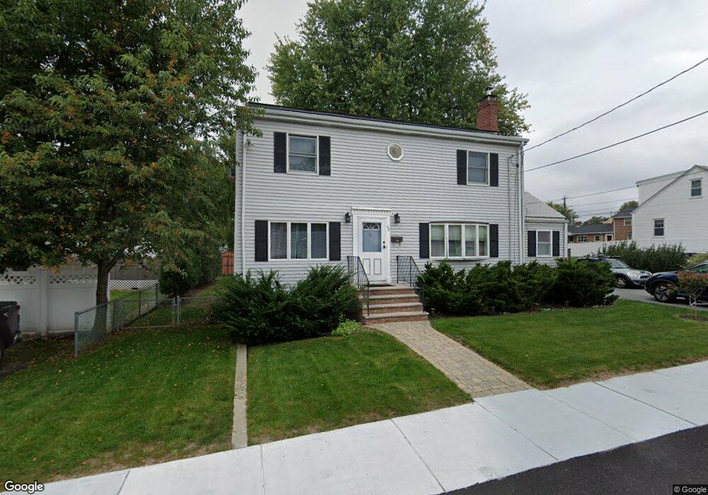
52 King St Watertown, MA 02472
West Watertown NeighborhoodEstimated Value: $953,000 - $1,001,506
3
Beds
3
Baths
1,734
Sq Ft
$559/Sq Ft
Est. Value
About This Home
This home is located at 52 King St, Watertown, MA 02472 and is currently estimated at $969,877, approximately $559 per square foot. 52 King St is a home located in Middlesex County with nearby schools including Boston Green Academy Horace Mann Charter School and Beacon High School.
Ownership History
Date
Name
Owned For
Owner Type
Purchase Details
Closed on
Jun 12, 1998
Sold by
Piccolo Salvatore J and Piccolo Ann Marie
Bought by
Dupuis Kathleen A and Thangaraj Venkatesan
Current Estimated Value
Purchase Details
Closed on
May 14, 1993
Sold by
Holland Edward D
Bought by
Piccolo Salvatore J and Piccolo Ann-Marie
Create a Home Valuation Report for This Property
The Home Valuation Report is an in-depth analysis detailing your home's value as well as a comparison with similar homes in the area
Home Values in the Area
Average Home Value in this Area
Purchase History
| Date | Buyer | Sale Price | Title Company |
|---|---|---|---|
| Dupuis Kathleen A | $265,500 | -- | |
| Piccolo Salvatore J | $135,000 | -- |
Source: Public Records
Mortgage History
| Date | Status | Borrower | Loan Amount |
|---|---|---|---|
| Open | Piccolo Salvatore J | $100,000 | |
| Open | Piccolo Salvatore J | $189,000 | |
| Closed | Piccolo Salvatore J | $205,000 |
Source: Public Records
Tax History Compared to Growth
Tax History
| Year | Tax Paid | Tax Assessment Tax Assessment Total Assessment is a certain percentage of the fair market value that is determined by local assessors to be the total taxable value of land and additions on the property. | Land | Improvement |
|---|---|---|---|---|
| 2025 | $10,970 | $939,200 | $515,700 | $423,500 |
| 2024 | $10,019 | $856,300 | $493,200 | $363,100 |
| 2023 | $10,879 | $801,100 | $469,700 | $331,400 |
| 2022 | $10,148 | $765,900 | $446,200 | $319,700 |
| 2021 | $9,191 | $750,300 | $430,600 | $319,700 |
| 2020 | $8,918 | $734,600 | $414,900 | $319,700 |
| 2019 | $8,389 | $651,300 | $399,300 | $252,000 |
| 2018 | $8,199 | $608,700 | $391,400 | $217,300 |
| 2017 | $7,528 | $542,000 | $336,600 | $205,400 |
| 2016 | $6,948 | $507,900 | $321,000 | $186,900 |
| 2015 | $7,281 | $484,400 | $297,500 | $186,900 |
| 2014 | $6,895 | $460,900 | $274,000 | $186,900 |
Source: Public Records
Map
Nearby Homes
- 38 Carey Ave Unit 3
- 38 Carey Ave Unit 6
- 186 Lexington St Unit 8
- 71 Gleason St
- 57 Pierce Rd Unit 57
- 5 Chapman St
- 172 Westminster Ave Unit 1
- 109 A Lexington St
- 220 Westminster Ave
- 253 Sycamore St Unit 253
- 15 Elmwood Ave
- 9 Bancroft St Unit 11
- 27-29 Edenfield Ave
- 28 Whitney St
- 27 Oakland St
- 77 Waverley Ave Unit 77
- 79 Waverley Ave Unit 79
- 51 Harrington St Unit 51
- 51 Harrington St Unit 53
- 5 Chatham Way Unit 5
- 58 King St
- 201 Warren St
- 209 Warren St
- 128 Carey Ave
- 128 Carey Ave Unit 128
- 130 Carey Ave Unit 130
- 215 Warren St
- 191 Warren St
- 55 King St
- 59 King St
- 185 Warren St
- 70 King St
- 125 Carey Ave Unit 127
- 125 Carey Ave
- 127 Carey Ave
- 125 Carey Ave Unit 125
- 148 Chapman St
- 154 Chapman St
- 200 Warren St
- 212 Warren St