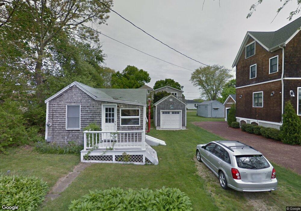
52 Kingston Ave Wakefield, RI 02879
Estimated Value: $488,000 - $704,000
3
Beds
3
Baths
1,434
Sq Ft
$436/Sq Ft
Est. Value
About This Home
This home is located at 52 Kingston Ave, Wakefield, RI 02879 and is currently estimated at $625,934, approximately $436 per square foot. 52 Kingston Ave is a home located in Washington County with nearby schools including South Kingstown High School, Quest Montessori School, and Monsignor Matthew Clarke Catholic Regional School.
Ownership History
Date
Name
Owned For
Owner Type
Purchase Details
Closed on
Dec 15, 2017
Sold by
Wolfe Bonnie L
Bought by
Toatley Peter and Toatley Sarah A
Current Estimated Value
Home Financials for this Owner
Home Financials are based on the most recent Mortgage that was taken out on this home.
Original Mortgage
$250,000
Outstanding Balance
$210,478
Interest Rate
3.94%
Mortgage Type
Purchase Money Mortgage
Estimated Equity
$415,456
Create a Home Valuation Report for This Property
The Home Valuation Report is an in-depth analysis detailing your home's value as well as a comparison with similar homes in the area
Home Values in the Area
Average Home Value in this Area
Purchase History
| Date | Buyer | Sale Price | Title Company |
|---|---|---|---|
| Toatley Peter | $230,653 | -- |
Source: Public Records
Mortgage History
| Date | Status | Borrower | Loan Amount |
|---|---|---|---|
| Open | Toatley Peter | $250,000 |
Source: Public Records
Tax History Compared to Growth
Tax History
| Year | Tax Paid | Tax Assessment Tax Assessment Total Assessment is a certain percentage of the fair market value that is determined by local assessors to be the total taxable value of land and additions on the property. | Land | Improvement |
|---|---|---|---|---|
| 2025 | $5,229 | $584,900 | $238,100 | $346,800 |
| 2024 | $5,597 | $506,500 | $183,100 | $323,400 |
| 2023 | $5,597 | $506,500 | $183,100 | $323,400 |
| 2022 | $5,546 | $506,500 | $183,100 | $323,400 |
| 2021 | $5,735 | $396,900 | $159,300 | $237,600 |
| 2020 | $5,735 | $396,900 | $159,300 | $237,600 |
| 2019 | $5,735 | $396,900 | $159,300 | $237,600 |
| 2018 | $5,358 | $341,700 | $148,100 | $193,600 |
| 2017 | $5,231 | $341,700 | $148,100 | $193,600 |
| 2016 | $5,156 | $341,700 | $148,100 | $193,600 |
| 2015 | $5,137 | $331,000 | $144,800 | $186,200 |
| 2014 | $3,231 | $208,700 | $144,800 | $63,900 |
Source: Public Records
Map
Nearby Homes
- 0 S River Dr
- 46 S River Dr
- 11 Tupelo Trail
- 47 Wayland Trail
- 59 Spice Bush Trail
- 121 Spice Bush Trail
- 7 Leatherleaf Rd
- 80 Old Pine Rd
- 0 Johnny Cake Trail Trail S Unit 1391340
- 64 Juniper Trail
- 0 Indian Trail Trail S Unit 1389828
- 727 Boston Neck Rd
- 0 Betty Dr
- 229 Saugatucket Rd
- 51 Osceola Ave
- 416 Bridgetown Rd
- 91 Bonnet Point Rd
- 51 Bonnet Shores Rd
- 53 Bonnet Shores Rd
- 135 Cliff Dr
- 58 Kingston Ave
- 44 Kingston Ave
- 49 Wakefield Ave
- 57 Wakefield Ave
- 49 Kingston Ave
- 41 Wakefield Ave
- 61 Wakefield Ave
- 41 Kingston Ave
- 34 Kingston Ave
- 52 Wakefield Ave
- 46 Wakefield Ave
- 56 Wakefield Ave
- 33 Kingston Ave
- 38 Wakefield Ave
- 36 Edwards Ave
- 29 Wakefield Ave
- 26 Kingston Ave
- 47 Harcourt Ave
- 47 Edwards Ave
- 22 Kingston Ave