52 Laurelwood Dr Hopedale, MA 01747
Estimated Value: $408,000 - $443,000
2
Beds
3
Baths
1,612
Sq Ft
$267/Sq Ft
Est. Value
About This Home
This home is located at 52 Laurelwood Dr, Hopedale, MA 01747 and is currently estimated at $430,976, approximately $267 per square foot. 52 Laurelwood Dr is a home located in Worcester County with nearby schools including Memorial Elementary School, Hopedale Jr Sr High School, and Bethany Christian Academy.
Ownership History
Date
Name
Owned For
Owner Type
Purchase Details
Closed on
Jul 6, 2009
Sold by
Penney Michael E Est
Bought by
Cellucci Lawrence A and Cellucci Anita M
Current Estimated Value
Home Financials for this Owner
Home Financials are based on the most recent Mortgage that was taken out on this home.
Original Mortgage
$225,834
Outstanding Balance
$143,986
Interest Rate
4.86%
Mortgage Type
FHA
Estimated Equity
$286,990
Purchase Details
Closed on
Aug 14, 2006
Sold by
Olson Carl W and Pease Joan T
Bought by
Penney Michael E
Home Financials for this Owner
Home Financials are based on the most recent Mortgage that was taken out on this home.
Original Mortgage
$224,000
Interest Rate
6.8%
Mortgage Type
Purchase Money Mortgage
Purchase Details
Closed on
Aug 14, 1996
Sold by
Orton Alfred D
Bought by
Olson Carl W and Pease Joan
Home Financials for this Owner
Home Financials are based on the most recent Mortgage that was taken out on this home.
Original Mortgage
$90,000
Interest Rate
8.08%
Mortgage Type
Purchase Money Mortgage
Create a Home Valuation Report for This Property
The Home Valuation Report is an in-depth analysis detailing your home's value as well as a comparison with similar homes in the area
Home Values in the Area
Average Home Value in this Area
Purchase History
| Date | Buyer | Sale Price | Title Company |
|---|---|---|---|
| Cellucci Lawrence A | $230,000 | -- | |
| Penney Michael E | $280,000 | -- | |
| Olson Carl W | $121,000 | -- |
Source: Public Records
Mortgage History
| Date | Status | Borrower | Loan Amount |
|---|---|---|---|
| Open | Cellucci Lawrence A | $225,834 | |
| Previous Owner | Penney Michael E | $224,000 | |
| Previous Owner | Olson Carl W | $66,875 | |
| Previous Owner | Olson Carl W | $90,000 |
Source: Public Records
Tax History Compared to Growth
Tax History
| Year | Tax Paid | Tax Assessment Tax Assessment Total Assessment is a certain percentage of the fair market value that is determined by local assessors to be the total taxable value of land and additions on the property. | Land | Improvement |
|---|---|---|---|---|
| 2025 | $6,164 | $371,100 | $0 | $371,100 |
| 2024 | $5,764 | $347,200 | $0 | $347,200 |
| 2023 | $5,336 | $330,400 | $0 | $330,400 |
| 2022 | $4,727 | $276,300 | $0 | $276,300 |
| 2021 | $4,584 | $256,500 | $0 | $256,500 |
| 2020 | $4,347 | $249,700 | $0 | $249,700 |
| 2019 | $4,055 | $230,800 | $0 | $230,800 |
| 2018 | $3,950 | $224,700 | $0 | $224,700 |
| 2017 | $3,752 | $217,000 | $0 | $217,000 |
| 2016 | $3,565 | $211,800 | $0 | $211,800 |
| 2015 | $3,308 | $199,500 | $0 | $199,500 |
Source: Public Records
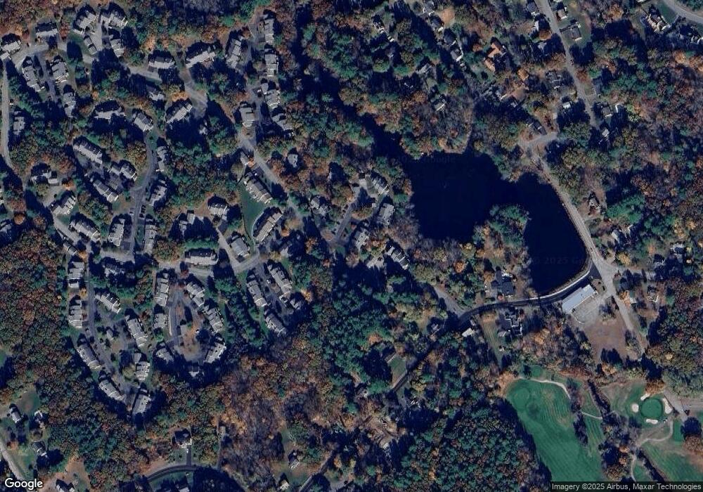
Map
Nearby Homes
- 108 Laurelwood Dr Unit 108
- 164 Greene St
- 2 Crestview Dr
- 11 Heron Ln
- 26 Brookview Ln Unit 26
- 3 Birch Cir
- The Brooklyn Plan at Harmony - Subdivision
- The Meadow Plan at Harmony - Subdivision
- The Layla Plan at Harmony - Subdivision
- The Ashley Plan at Harmony - Subdivision
- The Everleigh Plan at Harmony - Subdivision
- The Tucker Plan at Harmony - Subdivision
- The Iris Plan at Harmony - Subdivision
- 25 Bens Way
- 29 Harmony Trail
- 23 Bens Way
- 106 Adin St
- 116 Adin St
- 8 Union St Unit 8
- 16 North Ave
- 54 Laurelwood Dr
- 53 Laurelwood Dr
- 54 Laurelwood
- 58 Laurelwood Dr
- 57 Laurelwood Dr
- 56 Laurelwood Dr
- 55 Laurelwood Dr
- 169 Laurelwood Dr
- 168 Laurelwood Dr
- 167 Laurelwood Dr
- 169 Laurelwood Dr Unit 169
- 44 Laurelwood Dr
- 43 Laurelwood Dr
- 43 Laurelwood Dr Unit 43
- 166 Laurelwood Dr
- 165 Laurelwood Dr
- 165 Laurelwood Dr Unit 165,165
- 64 Laurelwood Dr Unit C
- 64 Laurelwood Dr Unit D
- 64 Laurelwood Dr Unit A