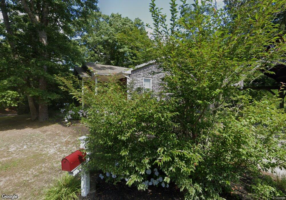
52 Leonard St West Wareham, MA 02576
Estimated Value: $577,803 - $724,000
3
Beds
2
Baths
1,546
Sq Ft
$411/Sq Ft
Est. Value
About This Home
This home is located at 52 Leonard St, West Wareham, MA 02576 and is currently estimated at $635,201, approximately $410 per square foot. 52 Leonard St is a home located in Plymouth County.
Ownership History
Date
Name
Owned For
Owner Type
Purchase Details
Closed on
Jul 28, 1998
Sold by
Stjohn Richard L and Stjohn Ann M
Bought by
Mackley David W and Mackely Susan J
Current Estimated Value
Home Financials for this Owner
Home Financials are based on the most recent Mortgage that was taken out on this home.
Original Mortgage
$132,900
Interest Rate
6.99%
Mortgage Type
Purchase Money Mortgage
Create a Home Valuation Report for This Property
The Home Valuation Report is an in-depth analysis detailing your home's value as well as a comparison with similar homes in the area
Purchase History
| Date | Buyer | Sale Price | Title Company |
|---|---|---|---|
| Mackley David W | $139,900 | -- | |
| Mackley David W | $139,900 | -- |
Source: Public Records
Mortgage History
| Date | Status | Borrower | Loan Amount |
|---|---|---|---|
| Open | Mackley David W | $127,000 | |
| Closed | Mackley David W | $132,900 | |
| Previous Owner | Mackley David W | $40,000 |
Source: Public Records
Tax History
| Year | Tax Paid | Tax Assessment Tax Assessment Total Assessment is a certain percentage of the fair market value that is determined by local assessors to be the total taxable value of land and additions on the property. | Land | Improvement |
|---|---|---|---|---|
| 2025 | $5,769 | $553,600 | $133,200 | $420,400 |
| 2024 | $5,515 | $491,100 | $106,700 | $384,400 |
| 2023 | $5,007 | $443,300 | $97,200 | $346,100 |
| 2022 | $5,007 | $379,900 | $97,200 | $282,700 |
| 2021 | $4,951 | $368,100 | $97,200 | $270,900 |
| 2020 | $4,618 | $348,300 | $97,200 | $251,100 |
| 2019 | $4,477 | $336,900 | $100,600 | $236,300 |
| 2018 | $4,223 | $309,800 | $100,600 | $209,200 |
| 2017 | $3,909 | $290,600 | $100,600 | $190,000 |
| 2016 | $3,665 | $270,900 | $104,100 | $166,800 |
| 2015 | $3,541 | $270,900 | $104,100 | $166,800 |
| 2014 | $3,590 | $279,400 | $97,500 | $181,900 |
Source: Public Records
Map
Nearby Homes
- 14 Briarwood Dr
- 12 Taft St
- 15 14th Ave
- 9 Woodville Way
- 4 Roosevelt St
- 233 Marion Rd
- 929 Point Rd
- 0 Cromesett Rd (Off) Unit 73385395
- 58 Shady Ln
- 6 Bourne Terrace
- 119 County Rd
- 10 Longmeadow Dr
- 127 County Rd
- 21 Bayview St
- 10 Barnes St
- 245 Wareham Rd
- 20 Grant St
- 43 Shore Ave
- 19 Station St
- 4 Blackhall Ct
Your Personal Tour Guide
Ask me questions while you tour the home.