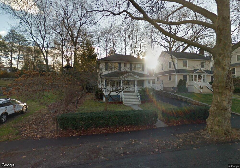
52 Loughlin Ave Cos Cob, CT 06807
Estimated Value: $1,312,000 - $1,503,000
3
Beds
2
Baths
1,580
Sq Ft
$912/Sq Ft
Est. Value
About This Home
This home is located at 52 Loughlin Ave, Cos Cob, CT 06807 and is currently estimated at $1,441,003, approximately $912 per square foot. 52 Loughlin Ave is a home located in Fairfield County with nearby schools including Cos Cob School, Central Middle School, and Greenwich High School.
Ownership History
Date
Name
Owned For
Owner Type
Purchase Details
Closed on
Sep 14, 2011
Sold by
Smith Justin
Bought by
Lobalbo Katherine
Current Estimated Value
Purchase Details
Closed on
Dec 22, 2009
Sold by
Rich Katherine
Bought by
Lobalbo Katherine and Smith Justin
Home Financials for this Owner
Home Financials are based on the most recent Mortgage that was taken out on this home.
Original Mortgage
$425,000
Interest Rate
5%
Create a Home Valuation Report for This Property
The Home Valuation Report is an in-depth analysis detailing your home's value as well as a comparison with similar homes in the area
Home Values in the Area
Average Home Value in this Area
Purchase History
| Date | Buyer | Sale Price | Title Company |
|---|---|---|---|
| Lobalbo Katherine | -- | -- | |
| Lobalbo Katherine | $700,000 | -- |
Source: Public Records
Mortgage History
| Date | Status | Borrower | Loan Amount |
|---|---|---|---|
| Previous Owner | Lobalbo Katherine | $425,000 |
Source: Public Records
Tax History Compared to Growth
Tax History
| Year | Tax Paid | Tax Assessment Tax Assessment Total Assessment is a certain percentage of the fair market value that is determined by local assessors to be the total taxable value of land and additions on the property. | Land | Improvement |
|---|---|---|---|---|
| 2025 | $7,458 | $603,470 | $484,820 | $118,650 |
| 2024 | $7,203 | $603,470 | $484,820 | $118,650 |
| 2023 | $7,022 | $603,470 | $484,820 | $118,650 |
| 2022 | $6,958 | $603,470 | $484,820 | $118,650 |
| 2021 | $6,326 | $525,420 | $405,650 | $119,770 |
| 2020 | $6,316 | $525,420 | $405,650 | $119,770 |
| 2019 | $6,379 | $525,420 | $405,650 | $119,770 |
| 2018 | $6,237 | $525,420 | $405,650 | $119,770 |
| 2017 | $6,315 | $525,420 | $405,650 | $119,770 |
| 2016 | $6,215 | $525,420 | $405,650 | $119,770 |
| 2015 | $5,661 | $474,740 | $440,930 | $33,810 |
| 2014 | $5,519 | $474,740 | $440,930 | $33,810 |
Source: Public Records
Map
Nearby Homes
- 7 River Rd Unit Boat Slip A-2
- 7 River Rd Unit Boat Slip D-14
- 4 Sound Shore Dr Unit 24
- 15 River Rd Unit 210
- 7 Stanwich Rd
- 3 Relay Ct
- 37 Miltiades Ave
- 105 Woodside Dr
- 24 Valley Rd
- 41 Valley Rd
- 92 Orchard Dr
- 40 Bruce Park Dr
- 6 Gilliam Ln
- 47 Valley Rd Unit B3
- 88 Valleywood Rd
- 4 Putnam Hill Unit 1D
- 4 Putnam Hill Unit 1C
- 2 Putnam Hill Unit 1F
- 4 Putnam Hill Unit 4
- 3 Putnam Hill Unit 2b