52 Lynette Ct New Hartford, CT 06057
Estimated Value: $489,181 - $576,000
2
Beds
3
Baths
1,928
Sq Ft
$282/Sq Ft
Est. Value
About This Home
This home is located at 52 Lynette Ct, New Hartford, CT 06057 and is currently estimated at $543,795, approximately $282 per square foot. 52 Lynette Ct is a home located in Litchfield County with nearby schools including Ann Antolini School, Northwestern Regional Middle School, and Northwestern Regional High School.
Ownership History
Date
Name
Owned For
Owner Type
Purchase Details
Closed on
May 28, 2003
Sold by
Macqueen Susan S and Macqueen Raymond J
Bought by
Hudak Amy F and Janeczek Adam J
Current Estimated Value
Home Financials for this Owner
Home Financials are based on the most recent Mortgage that was taken out on this home.
Original Mortgage
$268,000
Interest Rate
5.86%
Purchase Details
Closed on
Mar 31, 1995
Sold by
Ddm Ltd Liability Co
Bought by
Stonge Susan R
Create a Home Valuation Report for This Property
The Home Valuation Report is an in-depth analysis detailing your home's value as well as a comparison with similar homes in the area
Home Values in the Area
Average Home Value in this Area
Purchase History
| Date | Buyer | Sale Price | Title Company |
|---|---|---|---|
| Hudak Amy F | $339,000 | -- | |
| Stonge Susan R | $62,900 | -- |
Source: Public Records
Mortgage History
| Date | Status | Borrower | Loan Amount |
|---|---|---|---|
| Open | Stonge Susan R | $174,600 | |
| Closed | Stonge Susan R | $41,000 | |
| Closed | Stonge Susan R | $268,000 | |
| Previous Owner | Stonge Susan R | $169,000 |
Source: Public Records
Tax History Compared to Growth
Tax History
| Year | Tax Paid | Tax Assessment Tax Assessment Total Assessment is a certain percentage of the fair market value that is determined by local assessors to be the total taxable value of land and additions on the property. | Land | Improvement |
|---|---|---|---|---|
| 2025 | $7,374 | $266,490 | $71,400 | $195,090 |
| 2024 | $7,019 | $266,490 | $71,400 | $195,090 |
| 2023 | $6,553 | $204,330 | $70,980 | $133,350 |
| 2022 | $6,449 | $204,330 | $70,980 | $133,350 |
| 2021 | $6,473 | $204,330 | $70,980 | $133,350 |
| 2020 | $6,381 | $204,330 | $70,980 | $133,350 |
| 2019 | $6,304 | $204,330 | $70,980 | $133,350 |
| 2018 | $6,297 | $201,040 | $70,560 | $130,480 |
| 2017 | $6,096 | $201,040 | $70,560 | $130,480 |
| 2016 | $6,055 | $201,040 | $70,560 | $130,480 |
| 2015 | $6,059 | $201,040 | $70,560 | $130,480 |
| 2014 | $5,685 | $201,040 | $70,560 | $130,480 |
Source: Public Records
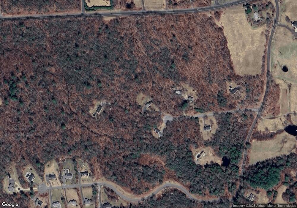
Map
Nearby Homes
- 1480 Litchfield Turnpike
- 1526 Litchfield Turnpike
- 175 Ramstein Rd
- 35 Hemlock Dr
- 290 Gillette Rd
- 302 Gillette Rd
- 19 Vickers Rd
- 714 Torringford St
- 420 Allison Dr
- 595 Torringford St
- 1683 Torringford St
- 111 Oxbow Dr
- 51 Bradford Rd
- 100 Nutmeg Dr
- 73 Shirley Rd
- 37 E Cotton Hill Rd
- 211 Lyman Dr
- 144 Woodlawn Dr
- 325 Circle Dr
- 410 Circle Dr
- 36 Lynette Ct
- 53 Lynette Ct
- 9 Lynette Ct
- 57 Lynette Ct
- 24 Lynette Ct
- Lot 10 Evergreen Crossing
- 65 Ramstein Rd
- 2 Lynette Ct
- 65 Evergreen Crossing
- 58 Evergreen Crossing
- 78 Ramstein Rd
- 71 Evergreen Crossing
- 64 Evergreen Crossing
- 22 Ramstein Rd
- 6 Woodland Ln
- 77 Evergreen Crossing
- 1460 Litchfield Turnpike
- 72 Evergreen Crossing
- 18 Woodland Ln
- 50 Ramstein Rd