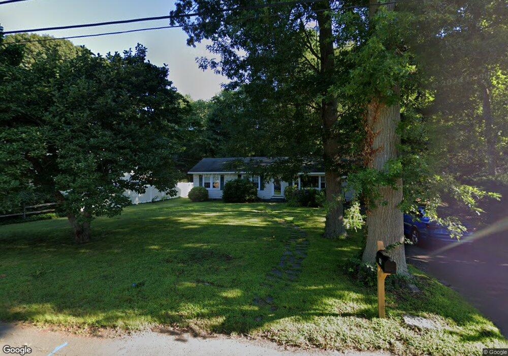
52 Madison Ave Madison, CT 06443
Estimated Value: $576,000 - $1,093,000
2
Beds
1
Bath
1,104
Sq Ft
$825/Sq Ft
Est. Value
About This Home
This home is located at 52 Madison Ave, Madison, CT 06443 and is currently estimated at $910,472, approximately $824 per square foot. 52 Madison Ave is a home located in New Haven County with nearby schools including Walter C. Polson Upper Middle School, Daniel Hand High School, and Our Lady of Mercy Preparatory Academy.
Ownership History
Date
Name
Owned For
Owner Type
Purchase Details
Closed on
May 27, 2008
Sold by
Kotowski Gail
Bought by
Oconnor Thomas
Current Estimated Value
Create a Home Valuation Report for This Property
The Home Valuation Report is an in-depth analysis detailing your home's value as well as a comparison with similar homes in the area
Home Values in the Area
Average Home Value in this Area
Purchase History
| Date | Buyer | Sale Price | Title Company |
|---|---|---|---|
| Oconnor Thomas | $375,000 | -- |
Source: Public Records
Mortgage History
| Date | Status | Borrower | Loan Amount |
|---|---|---|---|
| Open | Oconnor Thomas | $93,000 |
Source: Public Records
Tax History
| Year | Tax Paid | Tax Assessment Tax Assessment Total Assessment is a certain percentage of the fair market value that is determined by local assessors to be the total taxable value of land and additions on the property. | Land | Improvement |
|---|---|---|---|---|
| 2025 | $15,210 | $678,100 | $541,000 | $137,100 |
| 2024 | $14,918 | $678,100 | $541,000 | $137,100 |
| 2023 | $11,640 | $388,400 | $312,100 | $76,300 |
| 2022 | $11,423 | $388,400 | $312,100 | $76,300 |
| 2021 | $11,205 | $388,400 | $312,100 | $76,300 |
| 2020 | $11,011 | $388,400 | $312,100 | $76,300 |
| 2019 | $11,011 | $388,400 | $312,100 | $76,300 |
| 2018 | $11,339 | $404,400 | $325,600 | $78,800 |
| 2017 | $11,040 | $404,400 | $325,600 | $78,800 |
| 2016 | $10,713 | $404,400 | $325,600 | $78,800 |
| 2015 | $10,417 | $404,400 | $325,600 | $78,800 |
| 2014 | $7,642 | $303,600 | $228,800 | $74,800 |
Source: Public Records
Map
Nearby Homes
- 77 E Wharf Rd
- 11 Tuxis Rd
- 0 Bushnell Ln
- 908 Boston Post Rd Unit 908
- 30 Meeting House Ln
- 24 Railroad Ave
- 45 Wilshire Rd Unit 45
- 14 Centre Village Dr
- 37 Lantern Hill Rd
- 34 Wilshire Rd
- 162 Yankee Peddler Path
- 92 Scotland Ave
- 137 Liberty St
- 35 Hotchkiss Ln
- 38 Sportsman Hill Rd
- 40 Hull Rd
- 31 Stony Lane Lot 2 Rd
- 31 Stony Lane Lot 1 Rd
- 31 Stony Lane Lot 3 Rd
- 75 Fairview Dr
- 56 Madison Ave
- 46 Madison Ave
- 58 Madison Ave
- 62 Madison Ave
- 0 Cedar Ln Unit N10235591
- 0 Cedar Ln Unit N10007585
- 0 Cedar Ln Unit N10096429
- 0 Cedar Ln Unit N10193070
- 49 Madison Ave
- 53 Madison Ave
- 10 Cedar Ln
- 11 Hamilton Dr
- 7 Hamilton Dr
- 15 Hamilton Dr
- 59 Madison Ave
- 3 Hamilton Dr
- 12 Cedar Ln
- 43 Madison Ave
- 19 Hamilton Dr
- 12 Hamilton Dr
Your Personal Tour Guide
Ask me questions while you tour the home.