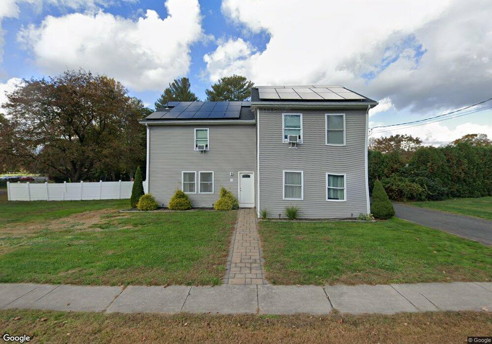
52 Main St Broad Brook, CT 06016
Estimated Value: $346,000 - $416,000
3
Beds
3
Baths
2,724
Sq Ft
$145/Sq Ft
Est. Value
About This Home
This home is located at 52 Main St, Broad Brook, CT 06016 and is currently estimated at $394,226, approximately $144 per square foot. 52 Main St is a home located in Hartford County with nearby schools including Broad Brook Elementary School, East Windsor Middle School, and East Windsor High School.
Ownership History
Date
Name
Owned For
Owner Type
Purchase Details
Closed on
Oct 20, 2021
Sold by
Gianpoalo Tiffany
Bought by
Gianpoalo Samuel and Gianpoalo Tiffany
Current Estimated Value
Home Financials for this Owner
Home Financials are based on the most recent Mortgage that was taken out on this home.
Original Mortgage
$152,000
Outstanding Balance
$116,907
Interest Rate
2.15%
Mortgage Type
Stand Alone Refi Refinance Of Original Loan
Estimated Equity
$277,319
Purchase Details
Closed on
Oct 31, 2007
Sold by
Zeuschner Katheryn
Bought by
Damato David and Damato Tiffany
Home Financials for this Owner
Home Financials are based on the most recent Mortgage that was taken out on this home.
Original Mortgage
$187,064
Interest Rate
6.43%
Mortgage Type
Purchase Money Mortgage
Create a Home Valuation Report for This Property
The Home Valuation Report is an in-depth analysis detailing your home's value as well as a comparison with similar homes in the area
Home Values in the Area
Average Home Value in this Area
Purchase History
| Date | Buyer | Sale Price | Title Company |
|---|---|---|---|
| Gianpoalo Samuel | -- | None Available | |
| Gianpoalo Samuel | -- | None Available | |
| Damato David | $190,000 | -- | |
| Damato David | $190,000 | -- |
Source: Public Records
Mortgage History
| Date | Status | Borrower | Loan Amount |
|---|---|---|---|
| Open | Gianpoalo Samuel | $152,000 | |
| Closed | Gianpoalo Samuel | $152,000 | |
| Previous Owner | Damato David | $187,064 |
Source: Public Records
Tax History
| Year | Tax Paid | Tax Assessment Tax Assessment Total Assessment is a certain percentage of the fair market value that is determined by local assessors to be the total taxable value of land and additions on the property. | Land | Improvement |
|---|---|---|---|---|
| 2025 | $5,696 | $215,010 | $43,890 | $171,120 |
| 2024 | $5,281 | $215,010 | $43,890 | $171,120 |
| 2023 | $3,918 | $114,280 | $49,490 | $64,790 |
| 2022 | $4,704 | $114,280 | $49,490 | $64,790 |
| 2021 | $3,943 | $114,280 | $49,490 | $64,790 |
| 2020 | $3,968 | $114,280 | $49,490 | $64,790 |
| 2019 | $3,914 | $114,280 | $49,490 | $64,790 |
| 2018 | $3,734 | $110,140 | $49,490 | $60,650 |
| 2017 | $3,888 | $118,660 | $50,690 | $67,970 |
| 2016 | $3,670 | $118,660 | $50,690 | $67,970 |
| 2015 | $3,555 | $117,300 | $50,680 | $66,620 |
| 2014 | $3,493 | $117,300 | $50,680 | $66,620 |
Source: Public Records
Map
Nearby Homes
- 18 Wesley Rd
- 16 Joseph Ct Unit 16
- 11 Acorn Dr Unit 11
- 30 Julia Ct Unit 30
- 26 Julia Ct Unit 26
- 4 Rye St
- 56 Highland Ave
- 14 Bridle Path
- 111 Old Ellington Rd
- 62 Rice Rd
- 10 Thistle Way Unit D
- 0 Wells Rd
- 27 Folkstone Rd Unit C
- 122 Wells Rd
- 115 Melrose Rd
- 160 East Rd
- 164 East Rd
- 50 Scantic Rd
- 25 Bass Dr
- 20 Apothecaries Hall Rd
Your Personal Tour Guide
Ask me questions while you tour the home.