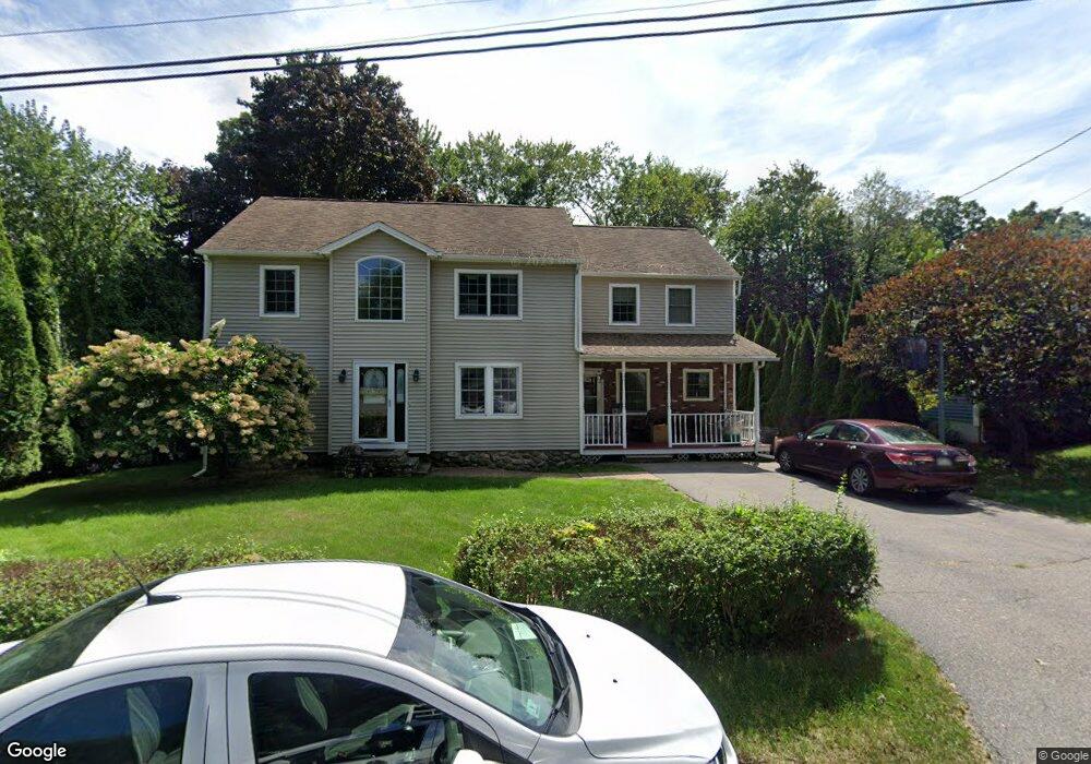
52 Maple Cir Shrewsbury, MA 01545
Estimated Value: $564,000 - $626,000
5
Beds
3
Baths
2,416
Sq Ft
$244/Sq Ft
Est. Value
About This Home
This home is located at 52 Maple Cir, Shrewsbury, MA 01545 and is currently estimated at $589,580, approximately $244 per square foot. 52 Maple Cir is a home located in Worcester County with nearby schools including Walter J. Paton Elementary School, Sherwood Middle School, and Oak Middle School.
Ownership History
Date
Name
Owned For
Owner Type
Purchase Details
Closed on
May 28, 1999
Sold by
Trikakis Robert P and Trikakis Diane P
Bought by
Maher Robert S and Maher Monica A
Current Estimated Value
Home Financials for this Owner
Home Financials are based on the most recent Mortgage that was taken out on this home.
Original Mortgage
$133,600
Outstanding Balance
$31,839
Interest Rate
6.82%
Mortgage Type
Purchase Money Mortgage
Estimated Equity
$557,741
Create a Home Valuation Report for This Property
The Home Valuation Report is an in-depth analysis detailing your home's value as well as a comparison with similar homes in the area
Home Values in the Area
Average Home Value in this Area
Purchase History
| Date | Buyer | Sale Price | Title Company |
|---|---|---|---|
| Maher Robert S | $167,000 | -- | |
| Maher Robert S | $167,000 | -- |
Source: Public Records
Mortgage History
| Date | Status | Borrower | Loan Amount |
|---|---|---|---|
| Open | Maher Robert S | $20,000 | |
| Open | Maher Robert S | $133,600 |
Source: Public Records
Tax History
| Year | Tax Paid | Tax Assessment Tax Assessment Total Assessment is a certain percentage of the fair market value that is determined by local assessors to be the total taxable value of land and additions on the property. | Land | Improvement |
|---|---|---|---|---|
| 2025 | $67 | $555,300 | $238,700 | $316,600 |
| 2024 | $6,726 | $543,300 | $227,400 | $315,900 |
| 2023 | $6,425 | $489,700 | $227,400 | $262,300 |
| 2022 | $6,303 | $446,700 | $227,400 | $219,300 |
| 2021 | $5,085 | $385,500 | $181,900 | $203,600 |
| 2020 | $4,848 | $388,800 | $181,900 | $206,900 |
| 2019 | $4,623 | $367,800 | $167,500 | $200,300 |
| 2018 | $4,469 | $353,000 | $158,800 | $194,200 |
| 2017 | $4,236 | $330,200 | $142,100 | $188,100 |
| 2016 | $4,174 | $321,100 | $133,000 | $188,100 |
| 2015 | $4,206 | $318,600 | $130,500 | $188,100 |
Source: Public Records
Map
Nearby Homes
- 29 Elma Cir
- 15 Monroe St
- 26 Monroe St
- 114 Grafton St
- 9 Arnold Rd
- Lot 386R Clover Glen Cir
- 37 Westwood Rd
- 15 Conifer Cir Unit 31
- 5 Conifer Cir Unit 28
- 60 Conifer Cir Unit 25
- 12 Gates Rd
- 647 Main St
- 31 Francis Ave
- 36 Bruce Ave
- 9 Heritage St
- 57 Harrington Farms Way Unit 57
- 4 Horseneck Rd
- 86 Harriet Ave
- 26 Williamsburg Ct Unit 4
- 47 Park St
Your Personal Tour Guide
Ask me questions while you tour the home.