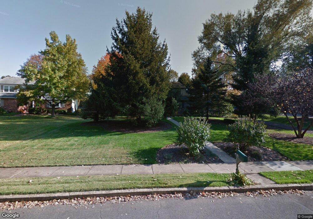
52 Maple Ln Doylestown, PA 18901
Estimated Value: $694,000 - $832,000
4
Beds
3
Baths
2,968
Sq Ft
$258/Sq Ft
Est. Value
About This Home
This home is located at 52 Maple Ln, Doylestown, PA 18901 and is currently estimated at $766,128, approximately $258 per square foot. 52 Maple Ln is a home located in Bucks County with nearby schools including Doyle El School, Lenape Middle School, and Central Bucks High School-West.
Create a Home Valuation Report for This Property
The Home Valuation Report is an in-depth analysis detailing your home's value as well as a comparison with similar homes in the area
Home Values in the Area
Average Home Value in this Area
Tax History
| Year | Tax Paid | Tax Assessment Tax Assessment Total Assessment is a certain percentage of the fair market value that is determined by local assessors to be the total taxable value of land and additions on the property. | Land | Improvement |
|---|---|---|---|---|
| 2025 | $8,522 | $42,320 | $7,720 | $34,600 |
| 2024 | $8,522 | $42,320 | $7,720 | $34,600 |
| 2023 | $7,928 | $42,320 | $7,720 | $34,600 |
| 2022 | $7,757 | $42,320 | $7,720 | $34,600 |
| 2021 | $7,614 | $42,320 | $7,720 | $34,600 |
| 2020 | $7,614 | $42,320 | $7,720 | $34,600 |
| 2019 | $7,445 | $42,320 | $7,720 | $34,600 |
| 2018 | $7,445 | $42,320 | $7,720 | $34,600 |
| 2017 | $7,392 | $42,320 | $7,720 | $34,600 |
| 2016 | $7,392 | $42,320 | $7,720 | $34,600 |
| 2015 | -- | $42,320 | $7,720 | $34,600 |
| 2014 | -- | $42,320 | $7,720 | $34,600 |
Source: Public Records
Map
Nearby Homes
- 60 Cedar Dr
- 120 Beulah Rd
- 325 Mystic View Cir
- 106 S Shady Retreat Rd
- 204 Woodland Dr
- 200 N Shady Retreat Rd
- 84 Iron Hill Rd
- 8 E Butler Ave
- Lot 9 Butler
- 10 W Butler Ave
- 11 W Butler Ave
- 274 Hickory Dr
- 250 Wooded Dr
- 325 N Shady Retreat Rd
- 4 Ren Way
- 43 Evergreen Dr
- 233 Hemlock Dr
- 158 Wooded Dr
- 121 Conestoga Dr
- 197 Spring Ln
Your Personal Tour Guide
Ask me questions while you tour the home.