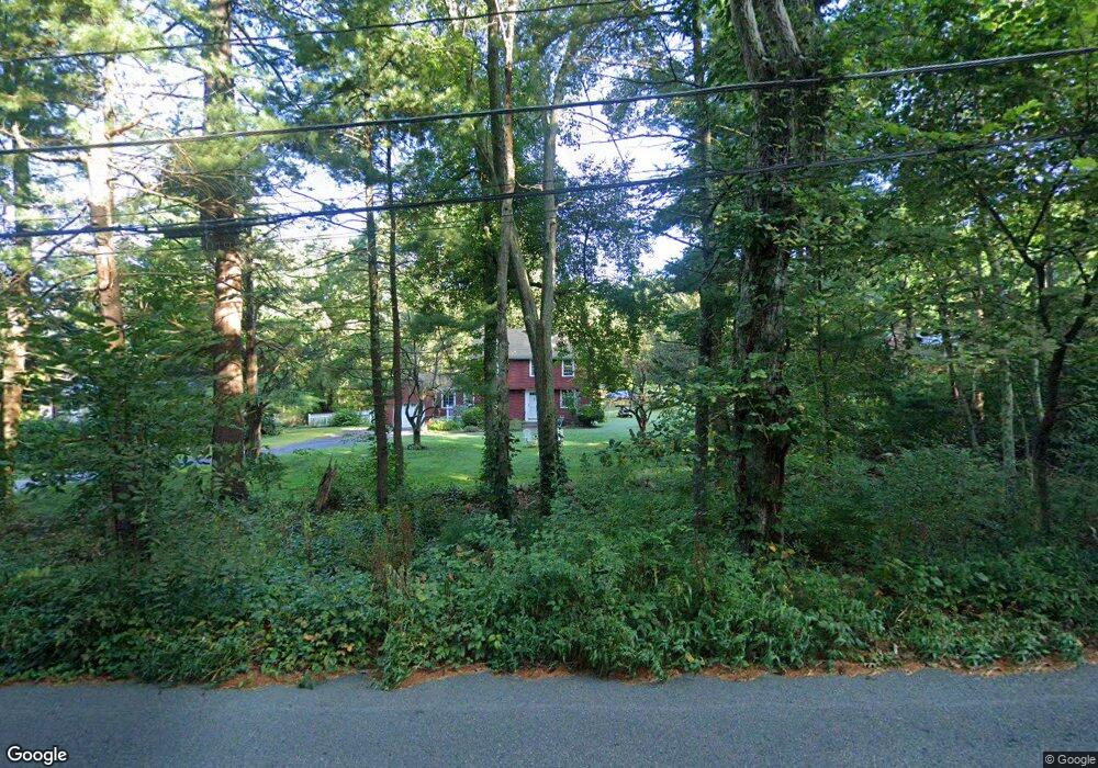
52 Maple St Norfolk, MA 02056
Estimated Value: $586,276 - $772,000
3
Beds
2
Baths
1,540
Sq Ft
$434/Sq Ft
Est. Value
About This Home
This home is located at 52 Maple St, Norfolk, MA 02056 and is currently estimated at $669,069, approximately $434 per square foot. 52 Maple St is a home located in Norfolk County with nearby schools including H. Olive Day School, Freeman-Kennedy School, and Woodside Montessori Academy.
Ownership History
Date
Name
Owned For
Owner Type
Purchase Details
Closed on
Apr 19, 2022
Sold by
Perrelli Nicholas
Bought by
Nicholas Perrelli T
Current Estimated Value
Purchase Details
Closed on
Jul 22, 1994
Sold by
Brookes Donna A
Bought by
Perelli Nicholas and Perrelli Eileen
Home Financials for this Owner
Home Financials are based on the most recent Mortgage that was taken out on this home.
Original Mortgage
$161,500
Interest Rate
8.19%
Mortgage Type
Purchase Money Mortgage
Purchase Details
Closed on
Dec 19, 1989
Sold by
Deyab Daviod L
Bought by
Deyab Donna A
Create a Home Valuation Report for This Property
The Home Valuation Report is an in-depth analysis detailing your home's value as well as a comparison with similar homes in the area
Home Values in the Area
Average Home Value in this Area
Purchase History
| Date | Buyer | Sale Price | Title Company |
|---|---|---|---|
| Nicholas Perrelli T | -- | None Available | |
| Perelli Nicholas | $170,000 | -- | |
| Deyab Donna A | $20,000 | -- |
Source: Public Records
Mortgage History
| Date | Status | Borrower | Loan Amount |
|---|---|---|---|
| Previous Owner | Deyab Donna A | $330,789 | |
| Previous Owner | Deyab Donna A | $43,000 | |
| Previous Owner | Deyab Donna A | $161,500 |
Source: Public Records
Tax History
| Year | Tax Paid | Tax Assessment Tax Assessment Total Assessment is a certain percentage of the fair market value that is determined by local assessors to be the total taxable value of land and additions on the property. | Land | Improvement |
|---|---|---|---|---|
| 2025 | $7,472 | $467,900 | $216,000 | $251,900 |
| 2024 | $7,168 | $460,400 | $220,500 | $239,900 |
| 2023 | $7,040 | $429,000 | $220,500 | $208,500 |
| 2022 | $6,938 | $381,200 | $206,300 | $174,900 |
| 2021 | $6,737 | $374,500 | $200,400 | $174,100 |
| 2020 | $6,425 | $344,700 | $182,200 | $162,500 |
| 2019 | $6,217 | $339,900 | $182,200 | $157,700 |
| 2018 | $6,063 | $325,600 | $182,200 | $143,400 |
| 2017 | $5,965 | $327,400 | $182,200 | $145,200 |
| 2016 | $5,628 | $311,300 | $182,200 | $129,100 |
| 2015 | $5,379 | $304,600 | $173,700 | $130,900 |
| 2014 | $5,140 | $294,900 | $173,700 | $121,200 |
Source: Public Records
Map
Nearby Homes
- 45 Joshua Rd
- 19 Waites Crossing
- 13 Waites Crossing
- 14 Waites Crossing
- 9 Elliot Mills Unit 5
- 8 Elliot Mills Unit 30
- 5 Elliot Mills Unit 3
- 7 Elliot Mills Unit 4
- 10 Elliot Mills Unit 29
- 50 Reed Fulton Ave Unit Lot 61
- 23 Fredrickson Rd
- 287 Park St
- 0 Toils End Rd
- 246 Forest Grove Ave
- 8 Ridgefield Rd
- 292 Main St
- 7 Keeney Pond Rd
- 75 Jordan Rd
- 0 W Birch Rd
- 500 Franklin St
Your Personal Tour Guide
Ask me questions while you tour the home.