Estimated Value: $170,482 - $185,000
Studio
2
Baths
1,280
Sq Ft
$140/Sq Ft
Est. Value
About This Home
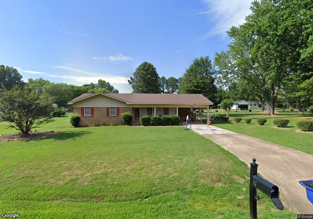
This home is located at 52 Mark Lynn Cir, Cabot, AR 72023 and is currently estimated at $178,871, approximately $139 per square foot. 52 Mark Lynn Cir is a home located in Lonoke County with nearby schools including Southside Elementary School, Cabot Junior High South, and Cabot Middle School South.
Ownership History
Date
Name
Owned For
Owner Type
Purchase Details
Closed on
Sep 21, 2020
Sold by
Williams Samuel D
Bought by
Williams Samuel D and Williams Morgan L
Current Estimated Value
Home Financials for this Owner
Home Financials are based on the most recent Mortgage that was taken out on this home.
Original Mortgage
$107,000
Outstanding Balance
$94,306
Interest Rate
2.9%
Mortgage Type
New Conventional
Estimated Equity
$84,565
Purchase Details
Closed on
Mar 29, 2018
Sold by
Bond Sondra K
Bought by
Williams Samuel D
Home Financials for this Owner
Home Financials are based on the most recent Mortgage that was taken out on this home.
Original Mortgage
$107,777
Interest Rate
4.43%
Mortgage Type
New Conventional
Purchase Details
Closed on
Oct 19, 2005
Bought by
Bond and Bond Wf
Purchase Details
Closed on
Oct 17, 2002
Bought by
City Of Cabot
Purchase Details
Closed on
Jun 17, 1985
Bought by
Ewalt and Wife Joan
Purchase Details
Closed on
Nov 12, 1982
Bought by
Pearcy and Pearcy Wife
Create a Home Valuation Report for This Property
The Home Valuation Report is an in-depth analysis detailing your home's value as well as a comparison with similar homes in the area
Purchase History
| Date | Buyer | Sale Price | Title Company |
|---|---|---|---|
| Williams Samuel D | -- | Lenders Title Company | |
| Williams Samuel D | -- | Lenders Title Company | |
| Williams Samuel D | $106,700 | -- | |
| Bond | $100,000 | -- | |
| City Of Cabot | -- | -- | |
| Ewalt | $54,900 | -- | |
| Pearcy | $51,000 | -- |
Source: Public Records
Mortgage History
| Date | Status | Borrower | Loan Amount |
|---|---|---|---|
| Open | Williams Samuel D | $107,000 | |
| Closed | Williams Samuel D | $107,000 | |
| Previous Owner | Williams Samuel D | $107,777 |
Source: Public Records
Tax History
| Year | Tax Paid | Tax Assessment Tax Assessment Total Assessment is a certain percentage of the fair market value that is determined by local assessors to be the total taxable value of land and additions on the property. | Land | Improvement |
|---|---|---|---|---|
| 2025 | $542 | $19,000 | $3,000 | $16,000 |
| 2024 | $542 | $19,000 | $3,000 | $16,000 |
| 2023 | $542 | $19,000 | $3,000 | $16,000 |
| 2022 | $592 | $19,000 | $3,000 | $16,000 |
| 2021 | $584 | $19,000 | $3,000 | $16,000 |
| 2020 | $538 | $17,940 | $3,000 | $14,940 |
| 2019 | $538 | $17,940 | $3,000 | $14,940 |
| 2018 | $536 | $17,940 | $3,000 | $14,940 |
| 2017 | $823 | $17,940 | $3,000 | $14,940 |
| 2016 | $536 | $17,940 | $3,000 | $14,940 |
| 2015 | $833 | $18,140 | $3,000 | $15,140 |
| 2014 | $896 | $18,140 | $3,000 | $15,140 |
Source: Public Records
Map
Nearby Homes
- 15 Castle Heights Dr
- 21 Buttercup Cove
- 00 Arkansas 321
- 9 Kings Rd
- 22 Oakwood Dr
- 12 Michael Dr
- 1309 S Pine St
- 11 Warren St
- 4 Beechwood St
- Lots 44 &45 Broadmoor Cir
- 19 Denali Dr
- 1 Bill Foster Memorial Hwy E
- 10 Bill Foster Memorial Hwy E
- 2702 Bill Foster Memorial Hwy E Unit Hwy 321
- 507 Southhaven Ave
- 23 W St
- 29 Mcclellan Dr
- 00 Campground Rd
- 22 Wolfsbridge Loop
- 18 Wolfsbridge Loop
- 56 Mark Lynn Cir
- 32 Mark Lynn Cir
- 421 Bradley Dr
- 51 Mark Lynn Cir
- 481 Bradley Dr
- 31 Mark Lynn Cir
- 81 Mark Lynn Cir
- 212 Mark Lynn Cir
- 381 Bradley Dr
- 11 Mark Lynn Cir
- 422 Bradley Dr
- 16 Thunderbird Dr
- 18 Thunderbird Dr
- 14 Thunderbird Dr
- 20 Thunderbird Dr
- 12 Thunderbird Dr
- 571 Mark Lynn Cir
- 22 Thunderbird Dr
- 57 Mark Lynn Cir
- 10 Thunderbird Dr
Your Personal Tour Guide
Ask me questions while you tour the home.