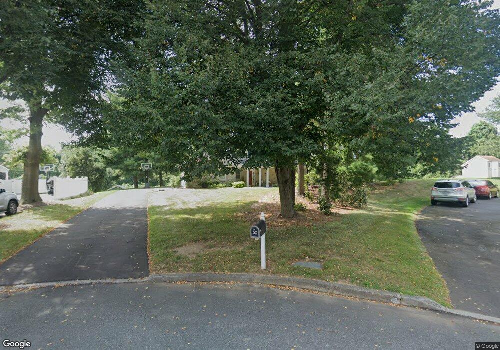
52 Markham Ct Langhorne, PA 19047
Estimated Value: $721,208 - $771,000
About This Home
This home is located at 52 Markham Ct, Langhorne, PA 19047 and is currently estimated at $743,802, approximately $319 per square foot. 52 Markham Ct is a home located in Bucks County with nearby schools including Pearl S. Buck Elementary School, Maple Point Middle School, and Neshaminy High School.
Ownership History
We collect this data history from publicly available records. To have your information removed, we recommend requesting removal directly through your county’s website.
Purchase Details
Purchase Details
Home Financials for this Owner
Home Financials are based on the most recent Mortgage that was taken out on this home.Purchase Details
Home Financials for this Owner
Home Financials are based on the most recent Mortgage that was taken out on this home.Purchase Details
Home Financials for this Owner
Home Financials are based on the most recent Mortgage that was taken out on this home.Home Values in the Area
Average Home Value in this Area
Purchase History
We collect this data history from publicly available records. To have your information removed, we recommend requesting removal directly through your county’s website.
| Date | Buyer | Sale Price | Title Company |
|---|---|---|---|
| -- | None Available | ||
| -- | None Available | ||
| $475,000 | None Available | ||
| $200,000 | -- |
Mortgage History
We collect this data history from publicly available records. To have your information removed, we recommend requesting removal directly through your county’s website.
| Date | Status | Borrower | Loan Amount |
|---|---|---|---|
| Open | $295,000 | ||
| Closed | $91,000 | ||
| Closed | $364,000 | ||
| Closed | $160,000 |
Tax History
We collect this data history from publicly available records. To have your information removed, we recommend requesting removal directly through your county’s website.
| Year | Tax Paid | Tax Assessment Tax Assessment Total Assessment is a certain percentage of the fair market value that is determined by local assessors to be the total taxable value of land and additions on the property. | Land | Improvement |
|---|---|---|---|---|
| 2026 | $9,400 | $41,200 | $9,600 | $31,600 |
| 2025 | $8,969 | $41,200 | $9,600 | $31,600 |
| 2024 | $8,969 | $41,200 | $9,600 | $31,600 |
| 2023 | $2,173 | $41,200 | $9,600 | $31,600 |
| 2022 | $8,595 | $41,200 | $9,600 | $31,600 |
| 2021 | $8,595 | $41,200 | $9,600 | $31,600 |
| 2020 | $8,492 | $41,200 | $9,600 | $31,600 |
| 2019 | $8,303 | $41,200 | $9,600 | $31,600 |
| 2018 | $8,150 | $41,200 | $9,600 | $31,600 |
| 2017 | $7,942 | $41,200 | $9,600 | $31,600 |
| 2016 | $7,942 | $41,200 | $9,600 | $31,600 |
| 2015 | $8,338 | $41,200 | $9,600 | $31,600 |
| 2014 | $8,338 | $41,200 | $9,600 | $31,600 |
Map
- 302 Mallard Ln
- 9 Walnut Way
- 255 Pintail Ct
- 11 Gunning Ln
- 2733 Village Rd
- 444 Briggs Rd
- 559 Palmer Farm Dr
- 74 Basil Rd
- 2703 Sterling Rd Unit 186
- 475 Franklin Cir
- 11108 Cornerstone Dr
- 2601 Waterford Rd Unit 95
- 41 Apple Valley Dr
- 476 Gladstone Rd
- 14304 Cornerstone Dr Unit 169
- 2402 Waterford Rd Unit 94
- 2203 Waterford Rd Unit 86
- 1921 Kirkbride Cir
- 26 Shady Brook Dr Unit 61
- 2104 Brookhaven Dr
- 20 Markham Ct
- 96 Maple Point Dr
- 36 Markham Ct
- 19 Amity Ct
- 13 Amity Ct
- 21 Markham Ct
- 128 Maple Point Dr
- 35 Amity Ct
- 37 Markham Ct
- 97 Maple Point Dr
- 81 Maple Point Dr
- 113 Maple Point Dr
- 53 Markham Ct
- 65 Maple Point Dr
- 129 Maple Point Dr
- 34 Amity Ct
- 22 Paxson Ln
- 160 Maple Point Dr
- 38 Paxson Ln
- 49 Maple Point Dr
Ask me questions while you tour the home.