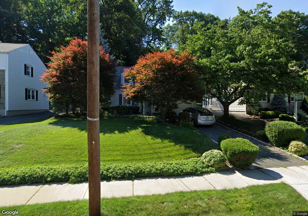
52 Mccosh Rd Montclair, NJ 07043
Montclair Heights NeighborhoodEstimated Value: $507,074 - $700,000
Studio
--
Bath
1,310
Sq Ft
$480/Sq Ft
Est. Value
About This Home
This home is located at 52 Mccosh Rd, Montclair, NJ 07043 and is currently estimated at $629,019, approximately $480 per square foot. 52 Mccosh Rd is a home located in Passaic County with nearby schools including Clifton High School, Saint Philip the Apostle Preparatory School, and The Magical Palace of Knowledge.
Ownership History
Date
Name
Owned For
Owner Type
Purchase Details
Closed on
Aug 29, 2000
Sold by
Mulligan Robert J and Mulligan Jacqueline
Bought by
Herold Norbert and Herold Margaret
Current Estimated Value
Home Financials for this Owner
Home Financials are based on the most recent Mortgage that was taken out on this home.
Original Mortgage
$135,000
Outstanding Balance
$48,470
Interest Rate
7.89%
Estimated Equity
$580,549
Purchase Details
Closed on
Oct 30, 1996
Sold by
Roberti Julia
Bought by
Mulligan Robert and Mulligan Jacqueline
Home Financials for this Owner
Home Financials are based on the most recent Mortgage that was taken out on this home.
Original Mortgage
$160,000
Interest Rate
7.75%
Create a Home Valuation Report for This Property
The Home Valuation Report is an in-depth analysis detailing your home's value as well as a comparison with similar homes in the area
Home Values in the Area
Average Home Value in this Area
Purchase History
| Date | Buyer | Sale Price | Title Company |
|---|---|---|---|
| Herold Norbert | $245,000 | Chicago Title Insurance Co | |
| Mulligan Robert | $185,000 | -- |
Source: Public Records
Mortgage History
| Date | Status | Borrower | Loan Amount |
|---|---|---|---|
| Open | Herold Norbert | $135,000 | |
| Previous Owner | Mulligan Robert | $160,000 |
Source: Public Records
Tax History
| Year | Tax Paid | Tax Assessment Tax Assessment Total Assessment is a certain percentage of the fair market value that is determined by local assessors to be the total taxable value of land and additions on the property. | Land | Improvement |
|---|---|---|---|---|
| 2025 | $11,664 | $196,500 | $120,900 | $75,600 |
| 2024 | $11,385 | $196,500 | $120,900 | $75,600 |
Source: Public Records
Map
Nearby Homes
- 41 Pino Ct
- 18 Adams Terrace Unit 2
- 1283 Valley Rd Unit 7
- 605 Grove St Unit 11
- 605 Grove St Unit 8
- 77 Macarthur Dr
- 565 Grove St Unit B12
- 605 F8 Grove St Unit F8
- 43 Graydon Terrace
- 620 Highland Ave
- 33 Graydon Terrace
- 479 Grove St
- 28 Overlook Rd
- 77 Huemmer Terrace
- 31 Nassau Rd
- 70 Anderson Dr
- 12 Quartz Way
- 16 Lenape Trail
- 34 Carline Dr
- 3 Slate Ct Unit C3
Your Personal Tour Guide
Ask me questions while you tour the home.