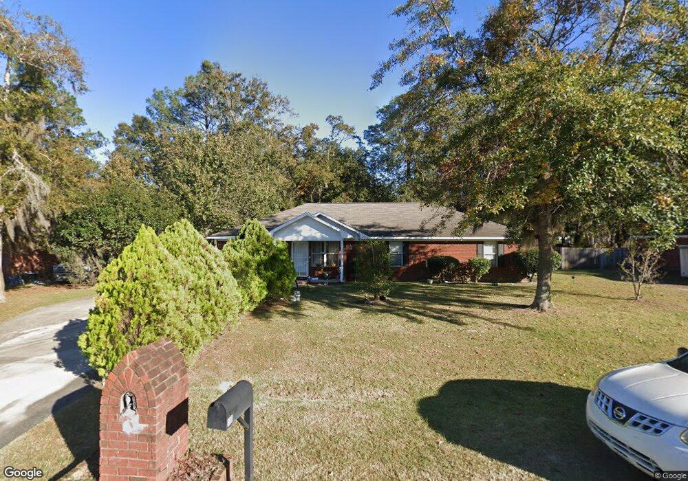
52 Mccumber Dr Allenhurst, GA 31301
Estimated Value: $199,514 - $223,000
3
Beds
2
Baths
1,360
Sq Ft
$156/Sq Ft
Est. Value
About This Home
This home is located at 52 Mccumber Dr, Allenhurst, GA 31301 and is currently estimated at $212,629, approximately $156 per square foot. 52 Mccumber Dr is a home located in Liberty County with nearby schools including Frank Long Elementary School, Lewis Frasier Middle School, and Liberty County High School.
Ownership History
Date
Name
Owned For
Owner Type
Purchase Details
Closed on
Sep 30, 1998
Sold by
Stafford Richard J
Bought by
Dow Terry A and Dow Carmen
Current Estimated Value
Purchase Details
Closed on
Dec 8, 1995
Bought by
Stafford Richard J
Purchase Details
Closed on
Sep 6, 1995
Bought by
Mcdonald William Dav
Purchase Details
Closed on
Mar 5, 1992
Bought by
Waters & Mccumber Inc
Create a Home Valuation Report for This Property
The Home Valuation Report is an in-depth analysis detailing your home's value as well as a comparison with similar homes in the area
Home Values in the Area
Average Home Value in this Area
Purchase History
| Date | Buyer | Sale Price | Title Company |
|---|---|---|---|
| Dow Terry A | $82,900 | -- | |
| Stafford Richard J | $79,100 | -- | |
| Mcdonald William Dav | $12,500 | -- | |
| Waters & Mccumber Inc | -- | -- |
Source: Public Records
Tax History
| Year | Tax Paid | Tax Assessment Tax Assessment Total Assessment is a certain percentage of the fair market value that is determined by local assessors to be the total taxable value of land and additions on the property. | Land | Improvement |
|---|---|---|---|---|
| 2024 | $78 | $64,489 | $14,000 | $50,489 |
| 2023 | $16 | $58,432 | $10,000 | $48,432 |
| 2022 | $15 | $49,321 | $10,000 | $39,321 |
| 2021 | $15 | $44,976 | $10,000 | $34,976 |
| 2020 | $15 | $42,204 | $10,000 | $32,204 |
| 2019 | $15 | $42,612 | $10,000 | $32,612 |
| 2018 | $15 | $43,019 | $10,000 | $33,019 |
| 2017 | $1,843 | $43,427 | $10,000 | $33,427 |
| 2016 | $1,353 | $43,834 | $10,000 | $33,834 |
| 2015 | $1,430 | $42,143 | $10,000 | $32,143 |
| 2014 | $1,430 | $45,617 | $10,000 | $35,617 |
| 2013 | -- | $43,252 | $10,000 | $33,252 |
Source: Public Records
Map
Nearby Homes
- 70 Mccumber Dr
- 100 Mccumber Dr
- 194 Mccumber Dr
- 994 Dunlevie Rd
- 996 Dunlevie Rd
- 7.22 AC Dunlevie Rd
- 479 Mccumber Dr
- 1226 Dunlevie Rd
- 166 Stephanie Dr
- 95 Tempest Ln
- 95 Stephanie Dr
- 619 Mccumber Dr
- 685 Deer Meadow Way
- 749 Deer Meadow Way
- 217 Pitchline Dr
- 767 Deer Meadow Way
- 684 Deer Meadow Way
- 130 Laural Wood SE
- 726 Deer Meadow Way
- 729 Deer Meadow Way
- 32 Mccumber Dr
- 799 Dunlevie Rd
- 58 Waters Ave
- 91 Mccumber Dr
- 33 Mccumber Dr
- 80 Mccumber Dr
- 763 Dunlevie Rd
- 847 Dunlevie Rd
- 86 Mccumber Dr
- 107 Mccumber Dr
- 124 Waters Ave
- 127 Mccumber Dr
- 142 Waters Ave
- 13 Jessica Ct
- 120 Mccumber Dr
- 871 Dunlevie Rd
- 739 Dunlevie Rd
- 37 Jessica Ct
- 143 Mccumber Dr
- 160 Waters Ave
Your Personal Tour Guide
Ask me questions while you tour the home.