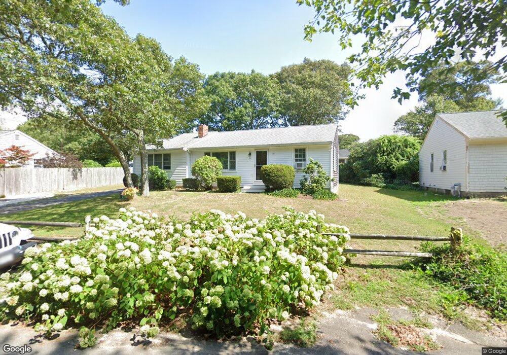
52 Michaels Ave Dennis Port, MA 02639
Dennis Port NeighborhoodEstimated Value: $565,000 - $711,000
2
Beds
1
Bath
1,198
Sq Ft
$533/Sq Ft
Est. Value
About This Home
This home is located at 52 Michaels Ave, Dennis Port, MA 02639 and is currently estimated at $638,410, approximately $532 per square foot. 52 Michaels Ave is a home located in Barnstable County with nearby schools including Dennis-Yarmouth Regional High School and St. Pius X. School.
Ownership History
Date
Name
Owned For
Owner Type
Purchase Details
Closed on
May 30, 1997
Sold by
Tower Teresa C
Bought by
Mullen Robert J and Mullen Kathleen M
Current Estimated Value
Home Financials for this Owner
Home Financials are based on the most recent Mortgage that was taken out on this home.
Original Mortgage
$93,600
Outstanding Balance
$13,521
Interest Rate
8.09%
Mortgage Type
Purchase Money Mortgage
Estimated Equity
$624,889
Create a Home Valuation Report for This Property
The Home Valuation Report is an in-depth analysis detailing your home's value as well as a comparison with similar homes in the area
Home Values in the Area
Average Home Value in this Area
Purchase History
| Date | Buyer | Sale Price | Title Company |
|---|---|---|---|
| Mullen Robert J | $117,000 | -- |
Source: Public Records
Mortgage History
| Date | Status | Borrower | Loan Amount |
|---|---|---|---|
| Open | Mullen Robert J | $93,600 |
Source: Public Records
Tax History Compared to Growth
Tax History
| Year | Tax Paid | Tax Assessment Tax Assessment Total Assessment is a certain percentage of the fair market value that is determined by local assessors to be the total taxable value of land and additions on the property. | Land | Improvement |
|---|---|---|---|---|
| 2025 | $2,545 | $587,700 | $202,200 | $385,500 |
| 2024 | $2,402 | $547,100 | $194,500 | $352,600 |
| 2023 | $2,323 | $497,500 | $176,800 | $320,700 |
| 2022 | $2,241 | $400,100 | $159,300 | $240,800 |
| 2021 | $2,282 | $378,500 | $178,400 | $200,100 |
| 2020 | $2,762 | $337,800 | $156,100 | $181,700 |
| 2019 | $1,943 | $314,900 | $153,100 | $161,800 |
| 2018 | $2,514 | $292,900 | $145,700 | $147,200 |
| 2017 | $1,709 | $277,900 | $135,300 | $142,600 |
| 2016 | $1,729 | $264,800 | $145,700 | $119,100 |
| 2015 | $1,695 | $264,800 | $145,700 | $119,100 |
| 2014 | $1,549 | $244,000 | $124,900 | $119,100 |
Source: Public Records
Map
Nearby Homes
- 80 Michaels Ave
- 19 Standish Way
- 71 Main St
- 4 Coffey Ln
- 12 Spoonbill Rd
- 31 Easy St
- 22 Wixon Rd
- 125 Main St Unit 3
- 15 Woodside Park Rd
- 72 Bassett Ln
- 37 Ocean Dr Unit 2
- 268 Main St
- 61 Trotters Ln
- 64 Beaten Rd
- 95 Center St
- 26 Center St
- 112 Old Wharf Rd Unit E4
- 112 Old Wharf Rd Unit E1
- 154 Old Wharf Rd Unit 26
- 154 Old Wharf Rd Unit 14