Estimated Value: $397,000 - $498,000
3
Beds
3
Baths
2,293
Sq Ft
$202/Sq Ft
Est. Value
About This Home
This home is located at 52 N 2100 W Unit 123, Lehi, UT 84043 and is currently estimated at $462,340, approximately $201 per square foot. 52 N 2100 W Unit 123 is a home located in Utah County with nearby schools including River Rock Elementary, Willowcreek Middle School, and Lehi High School.
Ownership History
Date
Name
Owned For
Owner Type
Purchase Details
Closed on
May 19, 2023
Sold by
Whitney Rebecca and Whitney Brett
Bought by
Anderson Brandon
Current Estimated Value
Home Financials for this Owner
Home Financials are based on the most recent Mortgage that was taken out on this home.
Original Mortgage
$437,000
Outstanding Balance
$424,603
Interest Rate
6.28%
Mortgage Type
New Conventional
Estimated Equity
$37,737
Purchase Details
Closed on
Mar 19, 2020
Sold by
Parsons Brooke
Bought by
Whitney Rebecca and Whitney Brett
Home Financials for this Owner
Home Financials are based on the most recent Mortgage that was taken out on this home.
Original Mortgage
$308,750
Interest Rate
3.4%
Mortgage Type
New Conventional
Purchase Details
Closed on
Jul 18, 2017
Sold by
Edge Gateway Llc
Bought by
Parsons Brooke
Home Financials for this Owner
Home Financials are based on the most recent Mortgage that was taken out on this home.
Original Mortgage
$239,271
Interest Rate
4.25%
Mortgage Type
FHA
Create a Home Valuation Report for This Property
The Home Valuation Report is an in-depth analysis detailing your home's value as well as a comparison with similar homes in the area
Home Values in the Area
Average Home Value in this Area
Purchase History
| Date | Buyer | Sale Price | Title Company |
|---|---|---|---|
| Anderson Brandon | -- | Title Guarantee | |
| Whitney Rebecca | -- | Titan Title Insurance Agency | |
| Parsons Brooke | -- | Provo Land Title Co |
Source: Public Records
Mortgage History
| Date | Status | Borrower | Loan Amount |
|---|---|---|---|
| Open | Anderson Brandon | $437,000 | |
| Previous Owner | Whitney Rebecca | $308,750 | |
| Previous Owner | Parsons Brooke | $239,271 |
Source: Public Records
Tax History Compared to Growth
Tax History
| Year | Tax Paid | Tax Assessment Tax Assessment Total Assessment is a certain percentage of the fair market value that is determined by local assessors to be the total taxable value of land and additions on the property. | Land | Improvement |
|---|---|---|---|---|
| 2025 | $2,088 | $250,140 | $66,900 | $387,900 |
| 2024 | $2,088 | $244,365 | $0 | $0 |
| 2023 | $1,843 | $234,190 | $0 | $0 |
| 2022 | $2,018 | $248,600 | $0 | $0 |
| 2021 | $1,760 | $327,800 | $49,200 | $278,600 |
| 2020 | $1,618 | $297,800 | $44,700 | $253,100 |
| 2019 | $1,511 | $289,100 | $43,400 | $245,700 |
| 2018 | $1,322 | $131,505 | $0 | $0 |
Source: Public Records
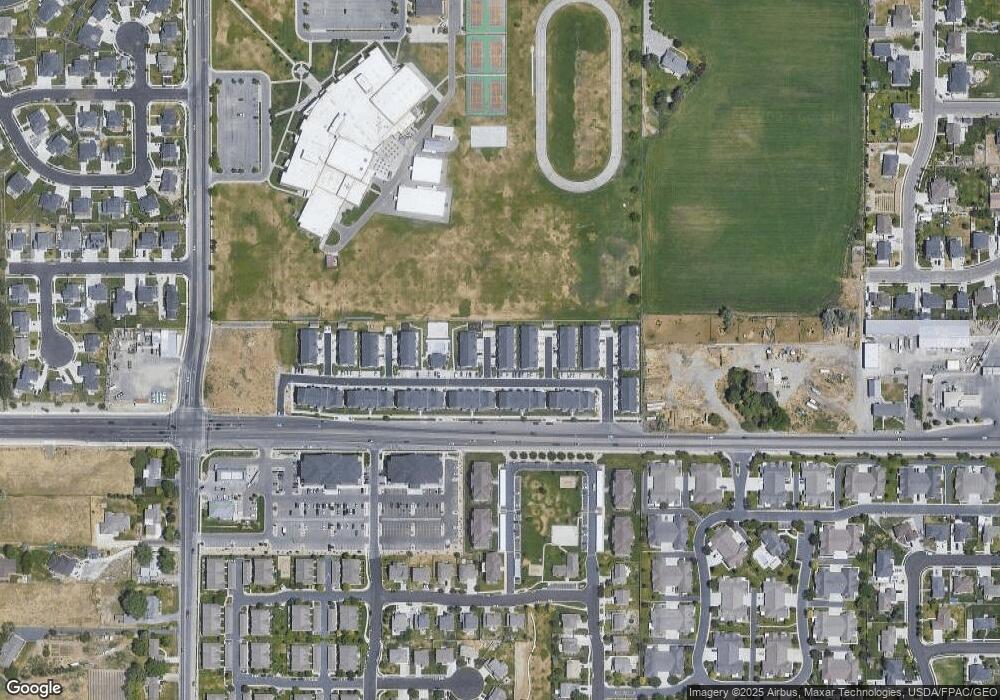
Map
Nearby Homes
- 2162 W Main St Unit E303
- 2178 W Main St Unit D301
- 41 N 2150 W
- 202 S 2035 W
- 131 S 1900 W Unit 2
- 210 S Tamarak Cir
- 122 N 2430 W Unit 1
- 105 N 2430 W
- 1784 W Grays Place
- The Roslyn Plan at Carla's Cove
- The Tracie Plan at Carla's Cove
- The Brooke Plan at Carla's Cove
- The Jackie Plan at Carla's Cove
- 1743 W Grays Place
- 373 N Willow Haven Ave
- 161 S 1475 W
- 2727 W 110 N
- 380 S 1500 W
- 603 S 2500 W
- 2512 W 610 N Unit 99
- 52 N 2100 W
- 56 N 2100 W Unit 124
- 56 N 2100 W
- 48 N 2100 W Unit 122
- 48 N 2100 W
- 58 N 2100 W Unit 125
- 44 N 2100 W Unit 121
- 49 N 2050 W Unit 128
- 53 N 2050 W Unit 129
- 45 N 2050 W Unit 127
- 45 N 2050 W
- 41 N 2050 W Unit 126
- 41 N 2050 W
- 57 N 2050 W
- 49 N 2100 W Unit 119
- 49 N 2100 W
- 45 N 2100 W Unit 118
- 53 N 2100 W Unit 120
- 41 N 2100 W Unit 117
- 1232 N 2050 W