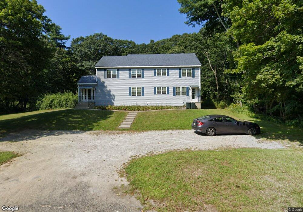
52 N Main St Charlton, MA 01507
Estimated Value: $493,000 - $638,000
6
Beds
4
Baths
3,360
Sq Ft
$167/Sq Ft
Est. Value
About This Home
This home is located at 52 N Main St, Charlton, MA 01507 and is currently estimated at $559,723, approximately $166 per square foot. 52 N Main St is a home located in Worcester County with nearby schools including Shepherd Hill Regional High School.
Ownership History
Date
Name
Owned For
Owner Type
Purchase Details
Closed on
Nov 20, 1991
Sold by
Southbridge Sb
Bought by
Rivett William J
Current Estimated Value
Purchase Details
Closed on
Sep 16, 1991
Sold by
Stegenga Barry
Bought by
Southbridge Sb
Create a Home Valuation Report for This Property
The Home Valuation Report is an in-depth analysis detailing your home's value as well as a comparison with similar homes in the area
Home Values in the Area
Average Home Value in this Area
Purchase History
| Date | Buyer | Sale Price | Title Company |
|---|---|---|---|
| Rivett William J | $65,000 | -- | |
| Rivett William J | $65,000 | -- | |
| Southbridge Sb | $90,000 | -- | |
| Southbridge Sb | $90,000 | -- |
Source: Public Records
Mortgage History
| Date | Status | Borrower | Loan Amount |
|---|---|---|---|
| Previous Owner | Southbridge Sb | $104,000 |
Source: Public Records
Tax History Compared to Growth
Tax History
| Year | Tax Paid | Tax Assessment Tax Assessment Total Assessment is a certain percentage of the fair market value that is determined by local assessors to be the total taxable value of land and additions on the property. | Land | Improvement |
|---|---|---|---|---|
| 2025 | $5,191 | $466,400 | $72,500 | $393,900 |
| 2024 | $5,037 | $444,200 | $69,800 | $374,400 |
| 2023 | $4,819 | $396,000 | $67,100 | $328,900 |
| 2022 | $4,675 | $351,800 | $66,100 | $285,700 |
| 2021 | $4,386 | $292,200 | $64,500 | $227,700 |
| 2020 | $4,285 | $286,800 | $59,100 | $227,700 |
| 2019 | $4,236 | $286,800 | $59,100 | $227,700 |
| 2018 | $3,872 | $286,800 | $59,100 | $227,700 |
| 2017 | $3,156 | $223,800 | $53,700 | $170,100 |
| 2016 | $3,084 | $223,800 | $53,700 | $170,100 |
| 2015 | $3,003 | $223,800 | $53,700 | $170,100 |
| 2014 | $1,967 | $155,400 | $60,000 | $95,400 |
Source: Public Records
Map
Nearby Homes
- 7 L Stevens Rd Unit A
- 7 L Stevens Rd Unit B
- 25 N Main St Unit A
- 5 Northside Rd
- 8 Northside Rd
- 102 Worcester Rd
- 0 Trolley Crossing Rd
- 5 Carpenter Hill Rd
- 57 Carpenter Hill Rd
- 0 Worcester Rd
- 91 Burlingame Rd
- 28 Southbridge Rd Unit 402
- 38 Stevens Park Rd
- 0 Freeman Rd Unit 73369281
- 13 Boucher Dr
- 18 Old Worcester Rd
- 105 Carroll Hill Rd
- 7 Little Muggett Rd
- 6 S Sullivan Rd
- 68 - 74 Sturbridge Rd
- Lot-1 Daniels Rd
- Lot Rt 20 (Worcester Rd)
- 69 N S Rd-No Drive Bys
- LOT 1,2 &3 Worcester Rd & H Putnam Rd Extension
- 2 Chelsie Way(off Ramshorn)
- 1 Chelsie Way(off Ramshorn)
- 16&17 Pine
- LOT 1 2 &3 Worcester Rd & H Putnam Rd
- Lot 1 & 2 Smith Rd
- 0 City Depot Rd Stevens Park Unit 71170682
- A Boucher Horne Homestead
- Lot 2n H Putnam Rd
- 4 Chelsie Way(off Ramshorn)
- 58 N Main St
- 45 N Main St
- 45 N Main St Unit A
- 45 N Main St Unit D
- 45 N Main St Unit B
- 45 N Main St Unit I
- 45 N Main St Unit 2