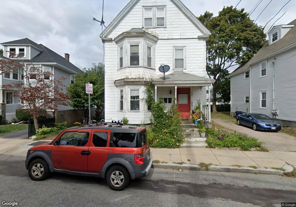
52 Neponset Ave Roslindale, MA 02131
Jamaica Plain NeighborhoodEstimated Value: $906,000 - $1,072,000
5
Beds
3
Baths
2,883
Sq Ft
$342/Sq Ft
Est. Value
About This Home
This home is located at 52 Neponset Ave, Roslindale, MA 02131 and is currently estimated at $986,239, approximately $342 per square foot. 52 Neponset Ave is a home located in Suffolk County with nearby schools including Brooke Charter School Roslindale, Sacred Heart STEM School, and St. Clare High School.
Ownership History
Date
Name
Owned For
Owner Type
Purchase Details
Closed on
Jul 26, 2021
Sold by
Athanasopoulos Arstis and Divaris Angela
Bought by
Divaris Angela
Current Estimated Value
Purchase Details
Closed on
Mar 20, 2020
Sold by
Wilkinson Heather M
Bought by
Wilkerson William L
Purchase Details
Closed on
Mar 1, 1993
Sold by
Roslindale Coop Bk
Bought by
Katoikia Rt
Purchase Details
Closed on
Sep 28, 1992
Sold by
Lago Pedro
Bought by
Roslindale Coop Bk
Create a Home Valuation Report for This Property
The Home Valuation Report is an in-depth analysis detailing your home's value as well as a comparison with similar homes in the area
Home Values in the Area
Average Home Value in this Area
Purchase History
| Date | Buyer | Sale Price | Title Company |
|---|---|---|---|
| Divaris Angela | -- | None Available | |
| Wilkerson William L | -- | None Available | |
| Katoikia Rt | $59,000 | -- | |
| Roslindale Coop Bk | $52,500 | -- |
Source: Public Records
Mortgage History
| Date | Status | Borrower | Loan Amount |
|---|---|---|---|
| Previous Owner | Roslindale Coop Bk | $190,000 | |
| Previous Owner | Roslindale Coop Bk | $97,000 |
Source: Public Records
Tax History Compared to Growth
Tax History
| Year | Tax Paid | Tax Assessment Tax Assessment Total Assessment is a certain percentage of the fair market value that is determined by local assessors to be the total taxable value of land and additions on the property. | Land | Improvement |
|---|---|---|---|---|
| 2025 | $10,241 | $884,400 | $261,400 | $623,000 |
| 2024 | $9,146 | $839,100 | $184,800 | $654,300 |
| 2023 | $8,583 | $799,200 | $176,000 | $623,200 |
| 2022 | $9,409 | $864,800 | $182,200 | $682,600 |
| 2021 | $8,960 | $839,700 | $176,900 | $662,800 |
| 2020 | $7,084 | $670,800 | $201,500 | $469,300 |
| 2019 | $6,424 | $609,500 | $140,200 | $469,300 |
| 2018 | $5,859 | $559,100 | $140,200 | $418,900 |
| 2017 | $5,535 | $522,700 | $140,200 | $382,500 |
| 2016 | $5,134 | $466,700 | $140,200 | $326,500 |
| 2015 | $5,154 | $425,600 | $152,800 | $272,800 |
| 2014 | $4,731 | $376,100 | $152,800 | $223,300 |
Source: Public Records
Map
Nearby Homes
- 71 Wyvern St
- 36 Neponset Ave Unit 1
- 105 Neponset Ave Unit 105
- 103-105 Neponset Ave
- 103 Neponset Ave Unit 103A
- 32 Jewett St
- 24 Waterman Rd
- 348-350 Hyde Park Ave Unit 2
- 50 Southbourne Rd
- 187 Florence St Unit 2L
- 18-20 Northbourne Rd Unit 18
- 577-579 American Legion Hwy
- 27 Rowe St
- 579 American Legion Hwy
- 602 Canterbury St Unit 14
- 602 Canterbury St Unit 4
- 602 Canterbury St Unit 5
- 602 Canterbury St Unit 2
- 602 Canterbury St Unit 9
- 543 Hyde Park Ave Unit 1
- 56 Neponset Ave
- 56 Neponset Ave Unit 2
- 56 Neponset Ave Unit 1
- 10 Grovernor Rd Unit 2
- 11 Grovernor Unit 3
- 11 Grover Ave
- 46 Neponset Ave Unit 48
- 42 Neponset Ave
- 42 Neponset Ave Unit 1
- 58 Neponset Ave
- 58 Neponset Ave Unit 2
- 43-45 Neponset Ave Unit 35
- 43-45 Neponset Ave Unit 35-37
- 43-45 Neponset Ave Unit 2 Duplex
- 43-45 Neponset Ave Unit 1 Duplex
- 43 Neponset Ave Unit 45
- 43-45 Neponset Ave Unit 45
- 43-45 Neponset Ave
- 43 Neponset Ave Unit 2
- 43-45 Neponset Ave Unit 1