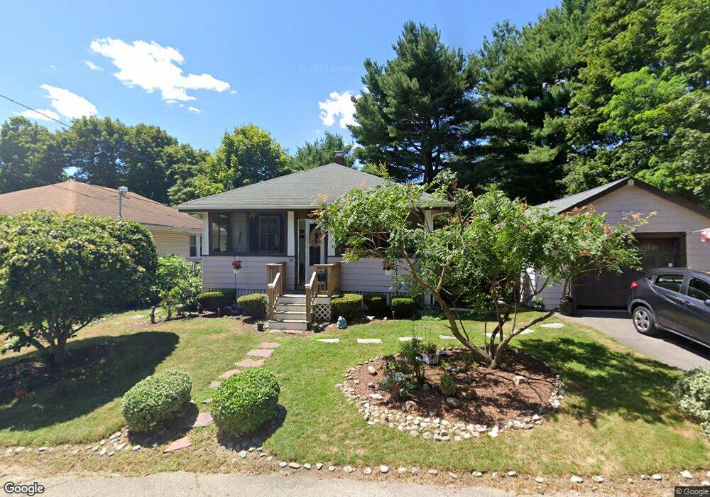
52 Newton Ave Brockton, MA 02301
Montello NeighborhoodEstimated Value: $369,000 - $436,000
2
Beds
1
Bath
750
Sq Ft
$525/Sq Ft
Est. Value
About This Home
This home is located at 52 Newton Ave, Brockton, MA 02301 and is currently estimated at $393,686, approximately $524 per square foot. 52 Newton Ave is a home located in Plymouth County with nearby schools including Raymond K-8 Elementary School, Louis F Angelo Elementary School, and Manthala George Jr. School.
Ownership History
Date
Name
Owned For
Owner Type
Purchase Details
Closed on
Apr 2, 2004
Sold by
Heal Walter H and Grant-Heal Nicole D
Bought by
Lynne Donna
Current Estimated Value
Home Financials for this Owner
Home Financials are based on the most recent Mortgage that was taken out on this home.
Original Mortgage
$172,000
Outstanding Balance
$80,376
Interest Rate
5.56%
Mortgage Type
Purchase Money Mortgage
Estimated Equity
$313,310
Purchase Details
Closed on
May 1, 2000
Sold by
Mcgeary Barbara L
Bought by
Grant Nicole D
Home Financials for this Owner
Home Financials are based on the most recent Mortgage that was taken out on this home.
Original Mortgage
$122,887
Interest Rate
8.23%
Mortgage Type
Purchase Money Mortgage
Create a Home Valuation Report for This Property
The Home Valuation Report is an in-depth analysis detailing your home's value as well as a comparison with similar homes in the area
Home Values in the Area
Average Home Value in this Area
Purchase History
| Date | Buyer | Sale Price | Title Company |
|---|---|---|---|
| Lynne Donna | $215,000 | -- | |
| Grant Nicole D | $123,900 | -- |
Source: Public Records
Mortgage History
| Date | Status | Borrower | Loan Amount |
|---|---|---|---|
| Open | Grant Nicole D | $172,000 | |
| Closed | Grant Nicole D | $32,200 | |
| Previous Owner | Grant Nicole D | $122,887 |
Source: Public Records
Tax History Compared to Growth
Tax History
| Year | Tax Paid | Tax Assessment Tax Assessment Total Assessment is a certain percentage of the fair market value that is determined by local assessors to be the total taxable value of land and additions on the property. | Land | Improvement |
|---|---|---|---|---|
| 2025 | $4,071 | $336,200 | $131,600 | $204,600 |
| 2024 | $3,900 | $324,500 | $131,600 | $192,900 |
| 2023 | $3,925 | $302,400 | $99,500 | $202,900 |
| 2022 | $3,446 | $246,700 | $90,000 | $156,700 |
| 2021 | $2,804 | $193,400 | $74,000 | $119,400 |
| 2020 | $3,062 | $202,100 | $70,300 | $131,800 |
| 2019 | $2,876 | $185,100 | $67,100 | $118,000 |
| 2018 | $2,475 | $154,100 | $67,100 | $87,000 |
| 2017 | $2,029 | $126,000 | $67,100 | $58,900 |
| 2016 | $1,906 | $109,800 | $65,000 | $44,800 |
| 2015 | $1,980 | $109,100 | $65,000 | $44,100 |
| 2014 | $1,916 | $105,700 | $65,000 | $40,700 |
Source: Public Records
Map
Nearby Homes
- 11 Winsten St
- 932 N Main St Unit 5
- 863 N Main St
- 25 Merritt Ave
- 41 Martland Ave
- 279 Howard St
- 24 Oak St
- 105 Oscar Ave
- 706 W Main St
- 60 Bonney St
- 20 Johnson Ct
- 221 Oak St Unit 8-12
- 47 Beech Rd
- 737 N Montello St
- 731 N Montello St Unit 6
- 178 Oak St
- 51 Colantha Ave
- 200 Sawtell Ave
- 77 Porter St
- 235 Oak St