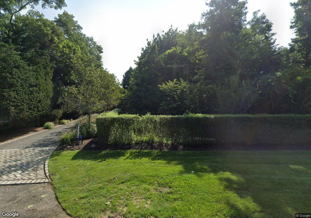
52 Old Main Rd Quogue, NY 11959
Estimated Value: $5,459,000 - $5,725,070
6
Beds
1
Bath
7,072
Sq Ft
$793/Sq Ft
Est. Value
About This Home
This home is located at 52 Old Main Rd, Quogue, NY 11959 and is currently estimated at $5,606,023, approximately $792 per square foot. 52 Old Main Rd is a home.
Ownership History
Date
Name
Owned For
Owner Type
Purchase Details
Closed on
May 12, 2021
Sold by
James Marc S and James Melissa E
Bought by
James Marc S and James Melissa E
Current Estimated Value
Home Financials for this Owner
Home Financials are based on the most recent Mortgage that was taken out on this home.
Original Mortgage
$2,000,000
Interest Rate
3%
Mortgage Type
Stand Alone Refi Refinance Of Original Loan
Purchase Details
Closed on
Apr 28, 1998
Sold by
Parris Betsy
Bought by
James Marc S and James Melissa E
Create a Home Valuation Report for This Property
The Home Valuation Report is an in-depth analysis detailing your home's value as well as a comparison with similar homes in the area
Home Values in the Area
Average Home Value in this Area
Purchase History
| Date | Buyer | Sale Price | Title Company |
|---|---|---|---|
| James Marc S | -- | None Available | |
| James Marc S | -- | None Available | |
| James Marc S | $170,000 | Fidelity National Title | |
| James Marc S | $170,000 | Fidelity National Title |
Source: Public Records
Mortgage History
| Date | Status | Borrower | Loan Amount |
|---|---|---|---|
| Previous Owner | James Marc S | $2,000,000 |
Source: Public Records
Tax History Compared to Growth
Tax History
| Year | Tax Paid | Tax Assessment Tax Assessment Total Assessment is a certain percentage of the fair market value that is determined by local assessors to be the total taxable value of land and additions on the property. | Land | Improvement |
|---|---|---|---|---|
| 2024 | $12,953 | $3,119,600 | $805,200 | $2,314,400 |
| 2023 | $15,411 | $3,119,600 | $805,200 | $2,314,400 |
| 2022 | $6,075 | $3,119,600 | $805,200 | $2,314,400 |
| 2021 | $5,713 | $3,107,500 | $805,200 | $2,302,300 |
| 2020 | $14,051 | $3,107,500 | $805,200 | $2,302,300 |
| 2019 | $14,627 | $0 | $0 | $0 |
| 2018 | -- | $3,107,500 | $805,200 | $2,302,300 |
| 2017 | $8,533 | $3,107,500 | $805,200 | $2,302,300 |
| 2016 | $8,254 | $2,796,800 | $724,700 | $2,072,100 |
| 2015 | -- | $2,486,200 | $644,200 | $1,842,000 |
| 2014 | -- | $2,486,200 | $644,200 | $1,842,000 |
Source: Public Records
Map
Nearby Homes
- 5 Laurents Way
- 25 Jessups Landing Ct E
- 1 Acorn Path
- 29 Quantuck Bay Ln
- 102 & 92 Dune Rd
- 801 Montauk Hwy
- 41 Park Cir
- 4 Barker Ln
- 107 Jessup Ave
- 69 Old Depot Rd
- 620 Montauk Hwy Unit 32
- 17 Woodbridge Ln
- 8 Hidden Path
- 37 Foster Rd
- 39A Foster Rd
- 551 Main St
- 20 Deborah Dr
- 5A/5B Jessup Ln
- 553 Main St
- 19 Quaquanantuck Ln
- 50 Old Main Rd
- 7 7 Jessups Landing
- 7 W Jessup's Landing Ct
- 6 Jessups Landing Ct
- 46 Old Main Rd
- 53 Old Main Rd
- 5 Jessups Landing Ct
- 5 Jessups Landing Ct E
- 5 Jessups Landing
- 9 Montauk Hwy
- 9 Montauk Hwy
- 8 Hatcher Rd
- 11 Montauk Hwy
- 4 Jessups Landing Ct E Unit 4
- 19 Montauk Hwy
- 19 Montauk Hwy
- 19 Montauk Hwy
- 19 Montauk Hwy
- 19 Montauk Hwy
- 19 Montauk Hwy Unit 2
