52 Palmer Ln Westport, MA 02790
Acoaxet NeighborhoodEstimated Value: $1,238,814 - $1,696,000
4
Beds
2
Baths
1,440
Sq Ft
$1,003/Sq Ft
Est. Value
About This Home
This home is located at 52 Palmer Ln, Westport, MA 02790 and is currently estimated at $1,444,938, approximately $1,003 per square foot. 52 Palmer Ln is a home located in Bristol County with nearby schools including Alice A. Macomber Primary School, Westport Elementary School, and Westport Middle-High School.
Ownership History
Date
Name
Owned For
Owner Type
Purchase Details
Closed on
Mar 18, 2008
Sold by
Sherman John Gilmour E
Bought by
Stafford John E and Hellmold Morgan E
Current Estimated Value
Home Financials for this Owner
Home Financials are based on the most recent Mortgage that was taken out on this home.
Original Mortgage
$562,500
Interest Rate
5.72%
Mortgage Type
Purchase Money Mortgage
Create a Home Valuation Report for This Property
The Home Valuation Report is an in-depth analysis detailing your home's value as well as a comparison with similar homes in the area
Home Values in the Area
Average Home Value in this Area
Purchase History
| Date | Buyer | Sale Price | Title Company |
|---|---|---|---|
| Stafford John E | $975,000 | -- |
Source: Public Records
Mortgage History
| Date | Status | Borrower | Loan Amount |
|---|---|---|---|
| Open | Stafford John E | $542,500 | |
| Closed | Stafford John E | $562,500 | |
| Previous Owner | Stafford John E | $148,000 |
Source: Public Records
Tax History Compared to Growth
Tax History
| Year | Tax Paid | Tax Assessment Tax Assessment Total Assessment is a certain percentage of the fair market value that is determined by local assessors to be the total taxable value of land and additions on the property. | Land | Improvement |
|---|---|---|---|---|
| 2025 | $7,194 | $965,700 | $734,900 | $230,800 |
| 2024 | $7,023 | $908,600 | $680,900 | $227,700 |
| 2023 | $6,966 | $853,700 | $648,400 | $205,300 |
| 2022 | $6,649 | $784,100 | $648,400 | $135,700 |
| 2021 | $6,251 | $725,200 | $589,500 | $135,700 |
| 2020 | $5,914 | $701,600 | $565,900 | $135,700 |
| 2019 | $5,689 | $687,900 | $565,900 | $122,000 |
| 2018 | $7,279 | $891,000 | $806,400 | $84,600 |
| 2017 | $7,171 | $899,800 | $806,400 | $93,400 |
| 2016 | $7,043 | $890,400 | $795,300 | $95,100 |
| 2015 | $6,982 | $880,500 | $795,300 | $85,200 |
Source: Public Records
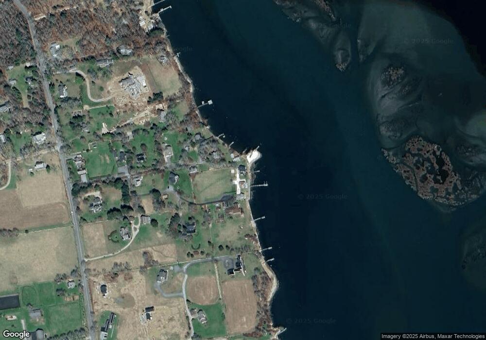
Map
Nearby Homes
- 19 Seabury Ln
- 1749 Main Rd
- 1881 Main Rd
- 1580 Main Rd
- 189 Brayton Point Rd
- 255 John Dyer Rd
- 1702J Drift Rd
- 1702 Drift Rd
- 1346 Main Rd Unit B
- 0 Reed Rd (Ss)
- 304 Brayton Point Rd
- 245 John Dyer Rd
- 17 Quail Trail
- 505 Long Hwy
- 99 Sylvia Ln
- 116 Amy Hart Path
- 18 Old Barn Rd
- 128 Maple Ave
- 101 Adamsville Rd
- 225 Hixbridge Rd