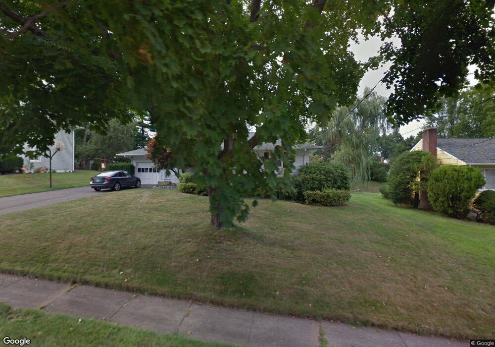
52 Parsons Dr West Hartford, CT 06117
Estimated Value: $429,000 - $579,000
3
Beds
2
Baths
2,061
Sq Ft
$249/Sq Ft
Est. Value
About This Home
This home is located at 52 Parsons Dr, West Hartford, CT 06117 and is currently estimated at $513,438, approximately $249 per square foot. 52 Parsons Dr is a home located in Hartford County with nearby schools including Aiken School, King Philip Middle School, and Hall High School.
Create a Home Valuation Report for This Property
The Home Valuation Report is an in-depth analysis detailing your home's value as well as a comparison with similar homes in the area
Home Values in the Area
Average Home Value in this Area
Tax History Compared to Growth
Tax History
| Year | Tax Paid | Tax Assessment Tax Assessment Total Assessment is a certain percentage of the fair market value that is determined by local assessors to be the total taxable value of land and additions on the property. | Land | Improvement |
|---|---|---|---|---|
| 2025 | $10,106 | $225,680 | $77,910 | $147,770 |
| 2024 | $9,558 | $225,680 | $77,910 | $147,770 |
| 2023 | $9,180 | $224,350 | $77,910 | $146,440 |
| 2022 | $9,127 | $224,350 | $77,910 | $146,440 |
| 2021 | $8,035 | $189,420 | $70,140 | $119,280 |
| 2020 | $7,675 | $183,610 | $62,370 | $121,240 |
| 2019 | $7,675 | $183,610 | $62,370 | $121,240 |
| 2018 | $7,528 | $183,610 | $62,370 | $121,240 |
| 2017 | $7,535 | $183,610 | $62,370 | $121,240 |
| 2016 | $6,909 | $174,860 | $56,490 | $118,370 |
| 2015 | $6,699 | $174,860 | $56,490 | $118,370 |
| 2014 | $6,535 | $174,860 | $56,490 | $118,370 |
Source: Public Records
Map
Nearby Homes
- 68 Lyman Rd
- 138 Mohegan Dr
- 9 Carlyle Rd
- 6 Lyman Rd
- 206 Mohegan Dr
- 8 Tanglewood Rd
- 139 Mohawk Dr
- 1 King Philip Dr Unit 207
- 35 W Ridge Dr
- 53 Whitehill Dr
- 51 Sky View Dr Unit 4
- 30 Farmstead Ln
- 11 Lawler Rd
- 11 Westbrook Rd
- 13 Kenwood Cir
- 320 N Steele Rd
- 2581 Albany Ave
- 62 Blue Ridge Ln
- 55 Kenwood Cir
- 645 Bloomfield Ave