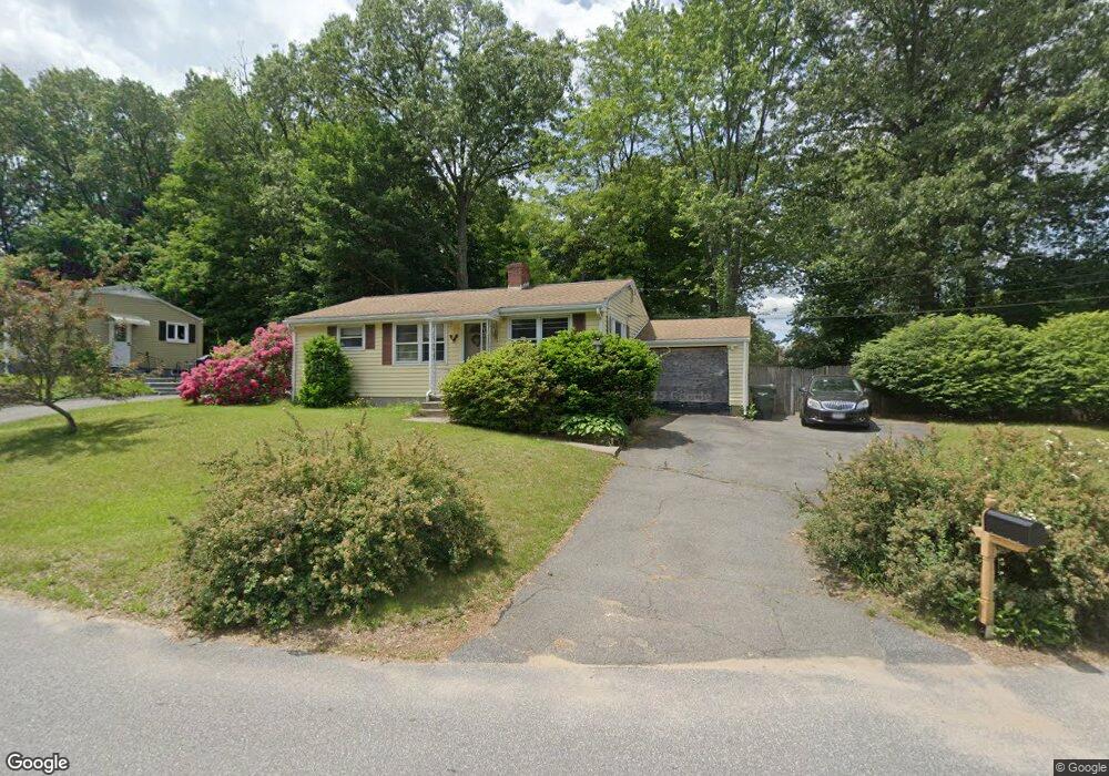
52 Plumtree Cir Springfield, MA 01118
East Forest Park NeighborhoodEstimated Value: $259,000 - $290,000
2
Beds
1
Bath
864
Sq Ft
$313/Sq Ft
Est. Value
About This Home
This home is located at 52 Plumtree Cir, Springfield, MA 01118 and is currently estimated at $270,501, approximately $313 per square foot. 52 Plumtree Cir is a home located in Hampden County with nearby schools including Frederick Harris Elementary School, M Marcus Kiley Middle, and Springfield High School of Science and Technology.
Ownership History
Date
Name
Owned For
Owner Type
Purchase Details
Closed on
Nov 13, 2009
Sold by
Pelletier Deidree L and White Evelyn A
Bought by
Pelletier Deidree L and White Evelyn A
Current Estimated Value
Home Financials for this Owner
Home Financials are based on the most recent Mortgage that was taken out on this home.
Original Mortgage
$65,000
Outstanding Balance
$42,399
Interest Rate
4.98%
Mortgage Type
Purchase Money Mortgage
Estimated Equity
$228,102
Create a Home Valuation Report for This Property
The Home Valuation Report is an in-depth analysis detailing your home's value as well as a comparison with similar homes in the area
Home Values in the Area
Average Home Value in this Area
Purchase History
| Date | Buyer | Sale Price | Title Company |
|---|---|---|---|
| Pelletier Deidree L | -- | -- |
Source: Public Records
Mortgage History
| Date | Status | Borrower | Loan Amount |
|---|---|---|---|
| Open | Pelletier Deidree L | $65,000 |
Source: Public Records
Tax History
| Year | Tax Paid | Tax Assessment Tax Assessment Total Assessment is a certain percentage of the fair market value that is determined by local assessors to be the total taxable value of land and additions on the property. | Land | Improvement |
|---|---|---|---|---|
| 2025 | $3,327 | $212,200 | $39,100 | $173,100 |
| 2024 | $3,279 | $204,200 | $39,100 | $165,100 |
| 2023 | $3,371 | $197,700 | $40,600 | $157,100 |
| 2022 | $2,960 | $157,300 | $40,600 | $116,700 |
| 2021 | $2,860 | $151,300 | $36,900 | $114,400 |
| 2020 | $2,775 | $142,100 | $36,900 | $105,200 |
| 2019 | $2,728 | $138,600 | $36,900 | $101,700 |
| 2018 | $2,745 | $139,500 | $36,900 | $102,600 |
| 2017 | $2,552 | $129,800 | $36,900 | $92,900 |
| 2016 | $2,263 | $115,100 | $36,900 | $78,200 |
| 2015 | $2,103 | $106,900 | $36,900 | $70,000 |
Source: Public Records
Map
Nearby Homes
- 509 Plumtree Rd
- 101 Regal St
- 37 Chesterfield Ave
- 647 Plumtree Rd
- 75 Gillette Cir
- 384 Abbott St
- 55 Allen St
- 7 Ashbrook St
- 19 Manor Ct Unit 19
- 47 Hartford Terrace
- 79 Arvilla St
- 120 Bridle Path Rd
- 49 Corcoran Blvd
- 125 Manor Ct Unit 125
- 54 S Shore Dr
- 79 Roosevelt Ave
- 134 Eddywood St
- 55 Old Farm Rd
- 17 Pebble Mill Rd
- 170 Plumtree Rd
- 34 Plumtree Cir
- 41 Plumtree Cir
- 41 Plumtree Cir
- 51 Plumtree Cir
- 205 Emerson St
- 211 Emerson St
- 199 Emerson St
- 70 Plumtree Cir
- 193 Emerson St
- 31 Plumtree Cir
- 61 Plumtree Cir
- 217 Emerson St
- 67 Plumtree Cir
- 187 Emerson St
- 223 Emerson St
- 24 Plumtree Cir
- 183 Emerson St
- 23 Plumtree Cir
- 229 Emerson St
- 32 Dennis St
Your Personal Tour Guide
Ask me questions while you tour the home.