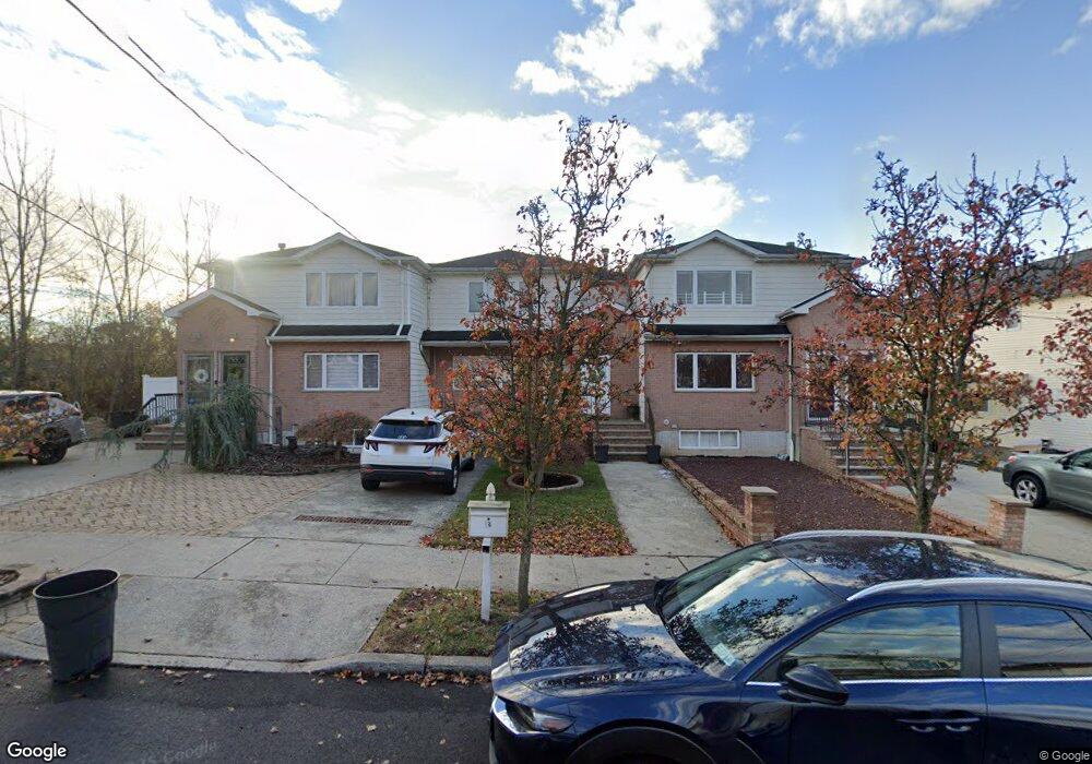
52 Poplar Ave Staten Island, NY 10309
Rossville NeighborhoodEstimated Value: $809,855 - $1,085,000
--
Bed
--
Bath
2,200
Sq Ft
$439/Sq Ft
Est. Value
About This Home
This home is located at 52 Poplar Ave, Staten Island, NY 10309 and is currently estimated at $965,964, approximately $439 per square foot. 52 Poplar Ave is a home located in Richmond County with nearby schools including P.S. 56 - The Louis Desario School, Is 34 Tottenville, and Tottenville High School.
Ownership History
Date
Name
Owned For
Owner Type
Purchase Details
Closed on
Jan 24, 2005
Sold by
Z A D I Inc
Bought by
Spatola Vera and Cambria Caterina
Current Estimated Value
Home Financials for this Owner
Home Financials are based on the most recent Mortgage that was taken out on this home.
Original Mortgage
$230,000
Interest Rate
5.87%
Mortgage Type
Fannie Mae Freddie Mac
Create a Home Valuation Report for This Property
The Home Valuation Report is an in-depth analysis detailing your home's value as well as a comparison with similar homes in the area
Home Values in the Area
Average Home Value in this Area
Purchase History
| Date | Buyer | Sale Price | Title Company |
|---|---|---|---|
| Spatola Vera | $466,440 | Commonwealth Title |
Source: Public Records
Mortgage History
| Date | Status | Borrower | Loan Amount |
|---|---|---|---|
| Previous Owner | Spatola Vera | $230,000 |
Source: Public Records
Tax History Compared to Growth
Tax History
| Year | Tax Paid | Tax Assessment Tax Assessment Total Assessment is a certain percentage of the fair market value that is determined by local assessors to be the total taxable value of land and additions on the property. | Land | Improvement |
|---|---|---|---|---|
| 2025 | $8,384 | $51,240 | $7,942 | $43,298 |
| 2024 | $8,384 | $41,880 | $9,389 | $32,491 |
| 2023 | $7,998 | $39,380 | $7,494 | $31,886 |
| 2022 | $7,417 | $46,740 | $9,420 | $37,320 |
| 2021 | $7,576 | $45,900 | $9,420 | $36,480 |
| 2020 | $7,620 | $43,020 | $9,420 | $33,600 |
| 2019 | $7,277 | $38,820 | $9,420 | $29,400 |
| 2018 | $6,690 | $32,817 | $9,184 | $23,633 |
| 2017 | $6,311 | $30,960 | $9,420 | $21,540 |
| 2016 | $5,997 | $30,000 | $9,420 | $20,580 |
| 2015 | $5,988 | $31,200 | $7,860 | $23,340 |
| 2014 | $5,988 | $31,200 | $7,860 | $23,340 |
Source: Public Records
Map
Nearby Homes
- 40 Bower Ct
- 60 Pond St
- 97 Bower Ct Unit 1
- 97 Bower Ct Unit 74
- 38 Cypress Loop
- 53 Morris St
- 22 Alverson Ave
- 62 Arrowood Ct Unit 601
- 27 Berry Ct Unit 565
- 98 Alverson Ave
- 37 Charleston Ave
- 22 Charleston Ave Unit 168
- 28 Berry Ct Unit 576
- 24 Berry Ct Unit 574
- 85 Cypress Loop
- 87 Cypress Loop Unit 243
- 39 Hemlock Ct Unit 152
- 5 Wirt Ave
- 76 Lucille Ave
- 39 Selkirk St