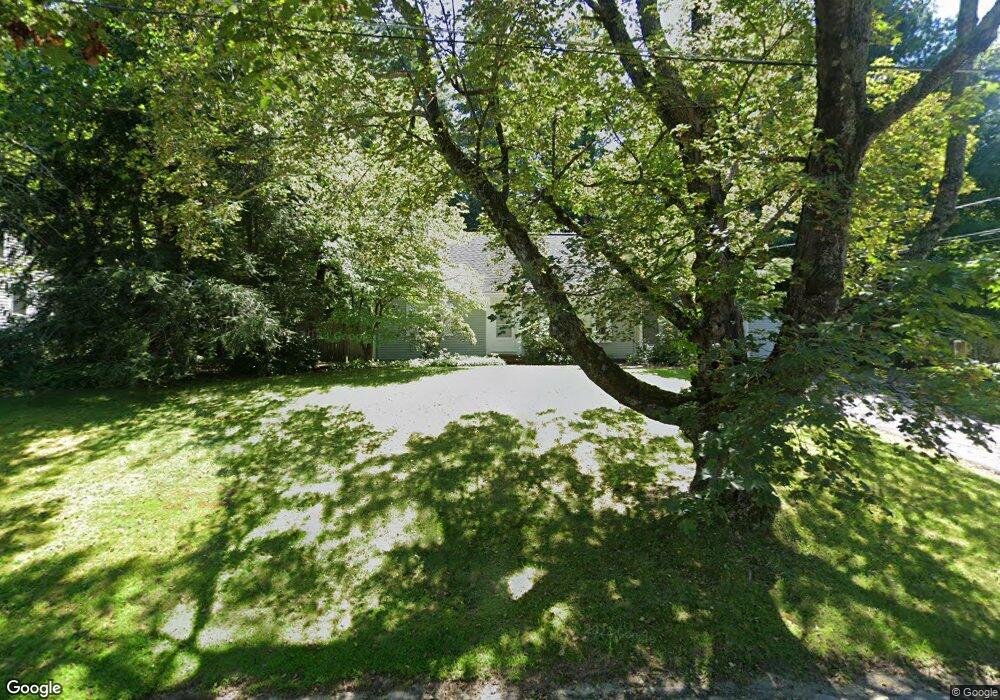
52 Powers Rd Concord, MA 01742
Estimated Value: $1,117,754 - $1,324,000
4
Beds
2
Baths
1,839
Sq Ft
$660/Sq Ft
Est. Value
About This Home
This home is located at 52 Powers Rd, Concord, MA 01742 and is currently estimated at $1,214,439, approximately $660 per square foot. 52 Powers Rd is a home located in Middlesex County with nearby schools including Alcott Elementary School, Concord Middle School, and Concord Carlisle High School.
Ownership History
Date
Name
Owned For
Owner Type
Purchase Details
Closed on
Sep 26, 1989
Sold by
Gordon Sophie
Bought by
Berman Howard J
Current Estimated Value
Home Financials for this Owner
Home Financials are based on the most recent Mortgage that was taken out on this home.
Original Mortgage
$175,000
Interest Rate
9.82%
Mortgage Type
Purchase Money Mortgage
Create a Home Valuation Report for This Property
The Home Valuation Report is an in-depth analysis detailing your home's value as well as a comparison with similar homes in the area
Home Values in the Area
Average Home Value in this Area
Purchase History
| Date | Buyer | Sale Price | Title Company |
|---|---|---|---|
| Berman Howard J | $285,500 | -- |
Source: Public Records
Mortgage History
| Date | Status | Borrower | Loan Amount |
|---|---|---|---|
| Open | Berman Howard J | $128,000 | |
| Closed | Berman Howard J | $178,000 | |
| Closed | Berman Howard J | $175,000 | |
| Previous Owner | Berman Howard J | $58,000 |
Source: Public Records
Tax History
| Year | Tax Paid | Tax Assessment Tax Assessment Total Assessment is a certain percentage of the fair market value that is determined by local assessors to be the total taxable value of land and additions on the property. | Land | Improvement |
|---|---|---|---|---|
| 2025 | $142 | $1,072,200 | $595,300 | $476,900 |
| 2024 | $13,558 | $1,032,600 | $555,700 | $476,900 |
| 2023 | $11,912 | $919,100 | $529,200 | $389,900 |
| 2022 | $10,618 | $719,400 | $384,800 | $334,600 |
| 2021 | $10,540 | $716,000 | $384,800 | $331,200 |
| 2020 | $9,577 | $673,000 | $336,700 | $336,300 |
| 2019 | $9,331 | $657,600 | $345,500 | $312,100 |
| 2018 | $9,030 | $631,900 | $346,800 | $285,100 |
| 2017 | $8,262 | $587,200 | $330,300 | $256,900 |
| 2016 | $7,426 | $533,500 | $296,400 | $237,100 |
| 2015 | $7,585 | $530,800 | $313,700 | $217,100 |
Source: Public Records
Map
Nearby Homes
- 96 Independence Rd
- 50 Wayside Rd
- 612 Lexington Rd
- 97 Hawthorne Ln
- 105 Lexington Rd
- 212 Hawthorne Ln
- 181 Stow St
- 143 Everett St
- 46 Sudbury Rd
- 165 Everett St
- 150 Hubbard St Unit B
- 61B Walden St
- 646 Cambridge Turnpike
- 7 Blue Heron Way
- 34 Thoreau St
- 34 Thoreau St Unit 34
- 32 Thoreau St Unit 32
- 22 Belknap Ct
- 6 Parker Rd
- 29 Willard Common
- 62 Powers Rd
- 44 Powers Rd
- 72 Powers Rd
- 54 Nancy Rd
- 36 Powers Rd
- 29 Powers Rd
- 29 Powers Rd Unit 29
- 141 Independence Rd
- 82 Powers Rd
- 28 Powers Rd
- 40 Nancy Rd
- 147 Independence Rd
- 131 Independence Rd
- 81 Powers Rd
- 92 Powers Rd
- 173 Independence Rd
- 30 Nancy Rd
- 362 Bedford St
- 123 Independence Rd
- 47 Nancy Rd
Your Personal Tour Guide
Ask me questions while you tour the home.