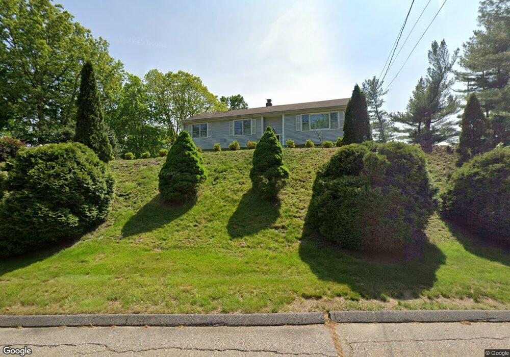
52 Riverside Dr Trumbull, CT 06611
Estimated Value: $527,000 - $661,000
4
Beds
3
Baths
1,320
Sq Ft
$446/Sq Ft
Est. Value
About This Home
This home is located at 52 Riverside Dr, Trumbull, CT 06611 and is currently estimated at $589,219, approximately $446 per square foot. 52 Riverside Dr is a home located in Fairfield County with nearby schools including Middlebrook School, Madison Middle School, and Trumbull High School.
Ownership History
Date
Name
Owned For
Owner Type
Purchase Details
Closed on
Oct 28, 1994
Sold by
Cappiello Jane
Bought by
Falbo Michael and Falbo Cheryl
Current Estimated Value
Home Financials for this Owner
Home Financials are based on the most recent Mortgage that was taken out on this home.
Original Mortgage
$157,500
Interest Rate
8.65%
Mortgage Type
Unknown
Create a Home Valuation Report for This Property
The Home Valuation Report is an in-depth analysis detailing your home's value as well as a comparison with similar homes in the area
Home Values in the Area
Average Home Value in this Area
Purchase History
| Date | Buyer | Sale Price | Title Company |
|---|---|---|---|
| Falbo Michael | $175,000 | -- |
Source: Public Records
Mortgage History
| Date | Status | Borrower | Loan Amount |
|---|---|---|---|
| Open | Falbo Michael | $170,096 | |
| Closed | Falbo Michael | $176,000 | |
| Closed | Falbo Michael | $190,000 | |
| Closed | Falbo Michael | $157,500 |
Source: Public Records
Tax History Compared to Growth
Tax History
| Year | Tax Paid | Tax Assessment Tax Assessment Total Assessment is a certain percentage of the fair market value that is determined by local assessors to be the total taxable value of land and additions on the property. | Land | Improvement |
|---|---|---|---|---|
| 2025 | $8,853 | $240,940 | $123,130 | $117,810 |
| 2024 | $8,603 | $240,940 | $123,130 | $117,810 |
| 2023 | $8,466 | $240,940 | $123,130 | $117,810 |
| 2022 | $8,329 | $240,940 | $123,130 | $117,810 |
| 2021 | $7,547 | $207,550 | $111,930 | $95,620 |
| 2020 | $7,402 | $207,550 | $111,930 | $95,620 |
| 2018 | $7,236 | $207,550 | $111,930 | $95,620 |
| 2017 | $7,102 | $207,550 | $111,930 | $95,620 |
| 2016 | $6,920 | $207,550 | $111,930 | $95,620 |
| 2015 | $7,129 | $213,000 | $117,400 | $95,600 |
| 2014 | $6,978 | $213,000 | $117,400 | $95,600 |
Source: Public Records
Map
Nearby Homes
- 31 Parlor Rock Rd
- 6680 Main St
- 14 Gisella Rd
- 11211 Arganese Place Unit 11211
- 101 Royals Ct
- 230 Fitch Pass
- 18 Skating Pond Rd
- 119 Lewis Rd
- 121 Lewis Rd
- 6 Brookview Dr
- 93 Putting Green Rd N
- 211 Tanglewood Rd
- 14 Oakland Dr
- 1209 Daniels Farm Rd
- 43 Moose Hill Rd
- 184 Putting Green Rd
- 36 Moose Hill Rd
- 184 Hurd Rd
- 0 Main St
- 6716 Main St
- 14 Riverside Dr
- 58 Riverside Dr
- 40 Riverside Dr
- 30 Riverside Dr
- 163 Whitney Ave
- 65 Riverside Dr
- 181 Whitney Ave
- 175 Whitney Ave
- 39 Riverside Dr
- 71 Riverside Dr
- 137 Whitney Ave
- 121 Whitney Ave
- 10 Old Teller Rd
- 21 Stirrup Dr
- 130 Whitney Ave
- 9 Old Teller Rd
- 15 Stirrup Dr
- 107 Whitney Ave
- 6 Old Teller Rd
- 15 Old Teller Rd