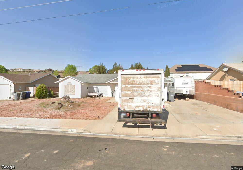
52 S 2000 E Saint George, UT 84790
Estimated Value: $344,000 - $396,000
3
Beds
2
Baths
1,230
Sq Ft
$306/Sq Ft
Est. Value
About This Home
This home is located at 52 S 2000 E, Saint George, UT 84790 and is currently estimated at $375,823, approximately $305 per square foot. 52 S 2000 E is a home located in Washington County with nearby schools including Panorama School, Fossil Ridge Intermediate School, and Pine View Middle School.
Ownership History
Date
Name
Owned For
Owner Type
Purchase Details
Closed on
Nov 9, 2021
Sold by
Hyatt Michael and Hyatt Cynthia M
Bought by
Hess E Dewayne E and Hess Joan M
Current Estimated Value
Home Financials for this Owner
Home Financials are based on the most recent Mortgage that was taken out on this home.
Original Mortgage
$301,180
Outstanding Balance
$276,056
Interest Rate
3.01%
Mortgage Type
FHA
Estimated Equity
$99,767
Purchase Details
Closed on
Oct 14, 2020
Sold by
Lindhardt Don Alan
Bought by
Hess Justin and Hess Rachel
Home Financials for this Owner
Home Financials are based on the most recent Mortgage that was taken out on this home.
Original Mortgage
$227,405
Interest Rate
2.9%
Mortgage Type
FHA
Purchase Details
Closed on
Oct 22, 2018
Sold by
Lindhardt Eunice B
Bought by
The Eunice B Lindhardt Trust
Create a Home Valuation Report for This Property
The Home Valuation Report is an in-depth analysis detailing your home's value as well as a comparison with similar homes in the area
Purchase History
| Date | Buyer | Sale Price | Title Company |
|---|---|---|---|
| Hess E Dewayne E | -- | Infinity Title | |
| Hess Justin | -- | Eagle Gate Ttl Ins Agcy Inc | |
| The Eunice B Lindhardt Trust | -- | Richard Title Ins Agency Inc |
Source: Public Records
Mortgage History
| Date | Status | Borrower | Loan Amount |
|---|---|---|---|
| Open | Hess E Dewayne E | $301,180 | |
| Previous Owner | Hess Justin | $227,405 |
Source: Public Records
Tax History
| Year | Tax Paid | Tax Assessment Tax Assessment Total Assessment is a certain percentage of the fair market value that is determined by local assessors to be the total taxable value of land and additions on the property. | Land | Improvement |
|---|---|---|---|---|
| 2025 | $1,363 | $200,200 | $59,400 | $140,800 |
| 2023 | $1,405 | $209,935 | $52,800 | $157,135 |
| 2022 | $1,474 | $207,075 | $49,665 | $157,410 |
| 2021 | $1,319 | $276,400 | $76,000 | $200,400 |
| 2020 | $2,131 | $231,300 | $57,000 | $174,300 |
| 2019 | $2,084 | $221,000 | $57,000 | $164,000 |
| 2018 | $1,115 | $107,745 | $0 | $0 |
| 2017 | $1,172 | $93,940 | $0 | $0 |
| 2016 | $860 | $90,310 | $0 | $0 |
| 2015 | $977 | $83,820 | $0 | $0 |
| 2014 | $915 | $78,925 | $0 | $0 |
Source: Public Records
Map
Nearby Homes
- 77 S 2000 E
- 1932 E 40 South Cir
- 210 N Mall Dr Unit 115
- 210 N Mall Dr Unit 85
- 210 N Mall Dr Unit 27
- 145 N Mall Dr Unit 57
- 201 S 2020 East Cir
- 86 S Acantilado Dr
- 24 S Arroyo Dr
- 4204 S Crimson Cir Unit 10
- 4186 S Crimson Cir Unit 13
- 232 S Acantilado Cir
- 5664 S Carnelian Pkwy
- 1646 E 90 Cir S
- 0 Null Unit 26-269072
- 1684 E 290 S
- 345 N 2450 E Unit 130
- 345 N 2450 E Unit 117
- 345 N 2450 E Unit 152
- 345 N 2450 E Unit 152
Your Personal Tour Guide
Ask me questions while you tour the home.