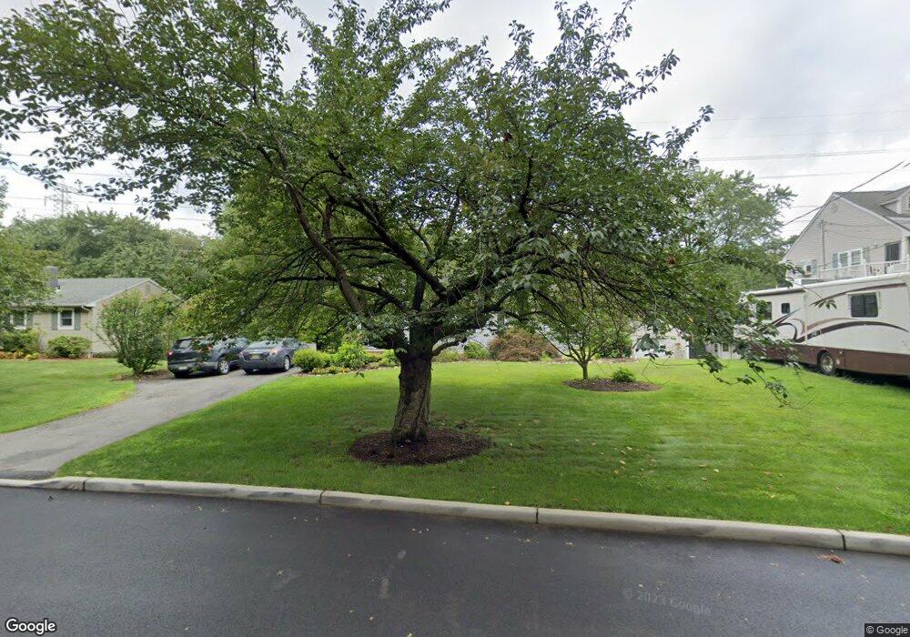
52 S Railroad Ave Mahwah, NJ 07430
Estimated Value: $508,389 - $649,000
--
Bed
--
Bath
1,092
Sq Ft
$506/Sq Ft
Est. Value
About This Home
This home is located at 52 S Railroad Ave, Mahwah, NJ 07430 and is currently estimated at $552,597, approximately $506 per square foot. 52 S Railroad Ave is a home located in Bergen County with nearby schools including Mahwah High School.
Ownership History
Date
Name
Owned For
Owner Type
Purchase Details
Closed on
Nov 22, 2002
Sold by
D'Andrea Richard M
Bought by
D'Andrea Richard M and D'Andrea Kristi
Current Estimated Value
Home Financials for this Owner
Home Financials are based on the most recent Mortgage that was taken out on this home.
Original Mortgage
$175,000
Outstanding Balance
$74,108
Interest Rate
6.17%
Estimated Equity
$478,489
Purchase Details
Closed on
Feb 19, 1997
Sold by
Estate Of Stephen Jackson
Bought by
D'Andrea Richard
Home Financials for this Owner
Home Financials are based on the most recent Mortgage that was taken out on this home.
Original Mortgage
$143,000
Interest Rate
7.78%
Create a Home Valuation Report for This Property
The Home Valuation Report is an in-depth analysis detailing your home's value as well as a comparison with similar homes in the area
Home Values in the Area
Average Home Value in this Area
Purchase History
| Date | Buyer | Sale Price | Title Company |
|---|---|---|---|
| D'Andrea Richard M | -- | -- | |
| D'Andrea Richard | $159,000 | -- |
Source: Public Records
Mortgage History
| Date | Status | Borrower | Loan Amount |
|---|---|---|---|
| Open | D'Andrea Richard M | $175,000 | |
| Previous Owner | D'Andrea Richard | $143,000 |
Source: Public Records
Tax History Compared to Growth
Tax History
| Year | Tax Paid | Tax Assessment Tax Assessment Total Assessment is a certain percentage of the fair market value that is determined by local assessors to be the total taxable value of land and additions on the property. | Land | Improvement |
|---|---|---|---|---|
| 2025 | $5,577 | $270,200 | $152,300 | $117,900 |
| 2024 | $5,504 | $270,200 | $152,300 | $117,900 |
| 2023 | $5,328 | $270,200 | $152,300 | $117,900 |
| 2022 | $5,328 | $270,200 | $152,300 | $117,900 |
| 2021 | $5,272 | $270,200 | $152,300 | $117,900 |
| 2020 | $5,145 | $270,200 | $152,300 | $117,900 |
| 2019 | $4,974 | $270,200 | $152,300 | $117,900 |
| 2018 | $4,904 | $270,200 | $152,300 | $117,900 |
| 2017 | $4,826 | $270,200 | $152,300 | $117,900 |
| 2016 | $4,720 | $270,200 | $152,300 | $117,900 |
| 2015 | $4,656 | $270,200 | $152,300 | $117,900 |
| 2014 | $4,577 | $270,200 | $152,300 | $117,900 |
Source: Public Records
Map
Nearby Homes
- 199 Island Rd
- 37 Hillside Ave
- 112 Moffatt Rd
- 111 Moffatt Rd
- 324 Franklin Turnpike
- 16 Gardner St
- 13 Winter Terrace
- 12 Alcott Rd
- 18 Boulder Trail
- 38 N Railroad Ave
- 17 Mountain Ave
- 34 N Railroad Ave
- 2054 Charles Ct
- 163 Rutherford Rd
- 2115 Henry Ct Unit 1
- 128 Grove St
- 2130 Isabelle Ct
- 66 Thunderhead Place
- 14 N Railroad Ave
- 2170 Kent Ct
- 48 S Railroad Ave
- 56 S Railroad Ave
- 44 S Railroad Ave
- 60 S Railroad Ave
- 42 S Railroad Ave
- 40 S Railroad Ave
- 64 S Railroad Ave
- 260 Franklin Turnpike Unit 503M
- 38 S Railroad Ave
- 66 S Railroad Ave
- 36 S Railroad Ave
- 68 S Railroad Ave
- 34 S Railroad Ave
- 32 S Railroad Ave
- 5 Breen Place
- 1 Breen Place
- 33 W Airmount Rd
- 37 W Airmount Rd
- 31 W Airmount Rd
- 250 Franklin Turnpike Unit 216S