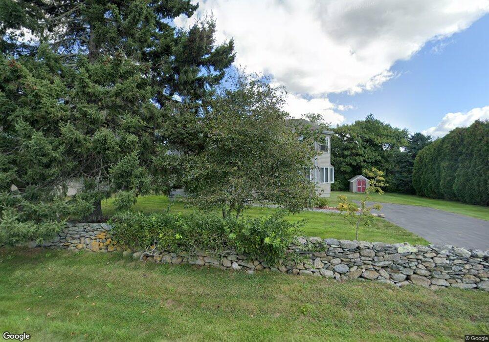
52 S Shore Rd Little Compton, RI 02837
Estimated Value: $816,131 - $1,364,000
4
Beds
2
Baths
2,400
Sq Ft
$461/Sq Ft
Est. Value
About This Home
This home is located at 52 S Shore Rd, Little Compton, RI 02837 and is currently estimated at $1,105,533, approximately $460 per square foot. 52 S Shore Rd is a home located in Newport County with nearby schools including Wilbur & McMahon School.
Ownership History
Date
Name
Owned For
Owner Type
Purchase Details
Closed on
Jan 26, 1998
Sold by
Dunham Hill Inc
Bought by
Hakeem Noel C and Hakeem Chelsea
Current Estimated Value
Purchase Details
Closed on
May 10, 1996
Sold by
Smith Ronald S and Smith Barbara
Bought by
Dunham Hill Inc
Create a Home Valuation Report for This Property
The Home Valuation Report is an in-depth analysis detailing your home's value as well as a comparison with similar homes in the area
Home Values in the Area
Average Home Value in this Area
Purchase History
| Date | Buyer | Sale Price | Title Company |
|---|---|---|---|
| Hakeem Noel C | $159,000 | -- | |
| Dunham Hill Inc | $25,000 | -- | |
| Hakeem Noel C | $159,000 | -- | |
| Dunham Hill Inc | $25,000 | -- |
Source: Public Records
Mortgage History
| Date | Status | Borrower | Loan Amount |
|---|---|---|---|
| Open | Dunham Hill Inc | $424,000 | |
| Closed | Dunham Hill Inc | $381,600 |
Source: Public Records
Tax History Compared to Growth
Tax History
| Year | Tax Paid | Tax Assessment Tax Assessment Total Assessment is a certain percentage of the fair market value that is determined by local assessors to be the total taxable value of land and additions on the property. | Land | Improvement |
|---|---|---|---|---|
| 2025 | $3,158 | $659,200 | $245,400 | $413,800 |
| 2024 | $2,518 | $495,600 | $213,400 | $282,200 |
| 2023 | $2,458 | $495,600 | $213,400 | $282,200 |
| 2022 | $2,428 | $495,600 | $213,400 | $282,200 |
| 2021 | $2,844 | $470,800 | $185,600 | $285,200 |
| 2020 | $2,820 | $470,800 | $185,600 | $285,200 |
| 2019 | $2,792 | $470,800 | $185,600 | $285,200 |
| 2018 | $2,392 | $401,300 | $156,600 | $244,700 |
| 2016 | $2,189 | $386,000 | $156,600 | $229,400 |
| 2015 | $2,215 | $385,200 | $150,700 | $234,500 |
| 2014 | $2,173 | $385,200 | $150,700 | $234,500 |
Source: Public Records
Map
Nearby Homes
- 18 Old Barn Rd
- 128 Maple Ave
- 141 S Of Commons Rd
- 189 Brayton Point Rd
- 304 Brayton Point Rd
- 536 W Main Rd
- 255 John Dyer Rd
- 0 Willow Ave
- 505 Long Hwy
- 19 Seabury Ln
- 441 W Main Rd
- 245 John Dyer Rd
- 180 W Main Rd
- 116 Amy Hart Path
- 17 Ferolbink Way
- 83 Long Hwy
- 155 W Main Rd
- 6 June Way
- 55 W Main Rd
- 90 Two Rod Rd