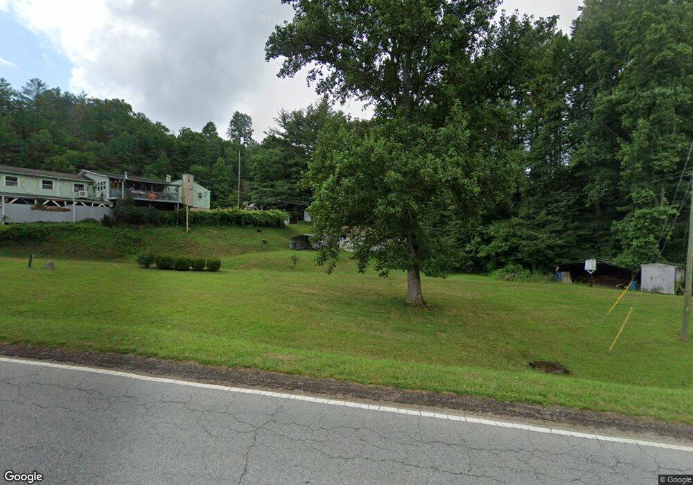
52 Sanderstown Rd Franklin, NC 28734
Estimated Value: $143,000 - $222,000
2
Beds
1
Bath
876
Sq Ft
$199/Sq Ft
Est. Value
About This Home
This home is located at 52 Sanderstown Rd, Franklin, NC 28734 and is currently estimated at $174,263, approximately $198 per square foot. 52 Sanderstown Rd is a home located in Macon County with nearby schools including Iotla Valley Elementary School, Macon Middle School, and Mountain View Intermediate School.
Ownership History
Date
Name
Owned For
Owner Type
Purchase Details
Closed on
Sep 17, 2018
Sold by
Holland Homer Z and Holland Patsy K
Bought by
Davenport Brian
Current Estimated Value
Purchase Details
Closed on
Mar 26, 2010
Sold by
Whaley Kristen and Whaley Justin
Bought by
Holland Homer Z and Holland Patsy K
Home Financials for this Owner
Home Financials are based on the most recent Mortgage that was taken out on this home.
Original Mortgage
$44,278
Interest Rate
4.94%
Mortgage Type
Purchase Money Mortgage
Create a Home Valuation Report for This Property
The Home Valuation Report is an in-depth analysis detailing your home's value as well as a comparison with similar homes in the area
Home Values in the Area
Average Home Value in this Area
Purchase History
| Date | Buyer | Sale Price | Title Company |
|---|---|---|---|
| Davenport Brian | $70,000 | None Available | |
| Holland Homer Z | $50,000 | -- |
Source: Public Records
Mortgage History
| Date | Status | Borrower | Loan Amount |
|---|---|---|---|
| Previous Owner | Holland Homer Z | $44,278 |
Source: Public Records
Tax History
| Year | Tax Paid | Tax Assessment Tax Assessment Total Assessment is a certain percentage of the fair market value that is determined by local assessors to be the total taxable value of land and additions on the property. | Land | Improvement |
|---|---|---|---|---|
| 2025 | $421 | $88,140 | $40,890 | $47,250 |
| 2024 | $421 | $88,140 | $40,890 | $47,250 |
| 2023 | $449 | $88,140 | $40,890 | $47,250 |
| 2022 | $449 | $72,130 | $20,590 | $51,540 |
| 2021 | $438 | $72,580 | $20,590 | $51,990 |
| 2020 | $420 | $72,580 | $20,590 | $51,990 |
| 2018 | $246 | $37,520 | $20,590 | $16,930 |
| 2017 | $246 | $37,520 | $20,590 | $16,930 |
| 2016 | $243 | $37,520 | $20,590 | $16,930 |
| 2015 | $220 | $37,520 | $20,590 | $16,930 |
| 2014 | $209 | $44,470 | $26,000 | $18,470 |
| 2013 | -- | $44,470 | $26,000 | $18,470 |
Source: Public Records
Map
Nearby Homes
- 314 McDonald Rd
- 102 Garnett Trace Rd
- 110 Bailey Hills Rd
- 177 Bailey Hills Rd
- 289 Sunset View Trail
- 134 Sunset View Trail
- 307 Sunset View Trail
- 158 Sunset View Trail
- 158 Sunset View Trail Unit 254
- 172 Sunset View Trail
- 567 Clyde Downs Rd
- 614 Echo Valley Rd
- 1781 Lake Emory Rd
- 235 N Shore Dr
- 649 Holly Terrace Rd
- 1043 Holly Terrace Rd
- Lot 4 Brendle Rd
- Lot 6 Brendle Rd
- Lot 5 Brendle Rd
- Lot 40 Buck Mountain Rd
- 5868 Sylva Rd
- 0 Sanderstown Rd
- 139 Ridgecrest Heights Rd
- 25A Ridgecrest Villas Dr
- 81 Ridgecrest Heights Rd
- 170 Ridgecrest Heights Rd
- 5737 Sylva Rd
- 145 Ridgecrest Heights Rd
- 192 Ridgecrest Heights Rd
- 5935 Sylva Rd
- 111 Elevation Rd
- 333 Ridgecrest Heights Rd
- 189 Ridgecrest Heights Rd
- 0 Ridgecrest Heights Rd
- 360 Ridgecrest Heights Rd
- 305 Ridgecrest Heights Rd
- 46 Carvil Rd
- 199 Sanderstown Rd
- 332 Ridgecrest Heights Rd
- 21 Carvil Rd
Your Personal Tour Guide
Ask me questions while you tour the home.