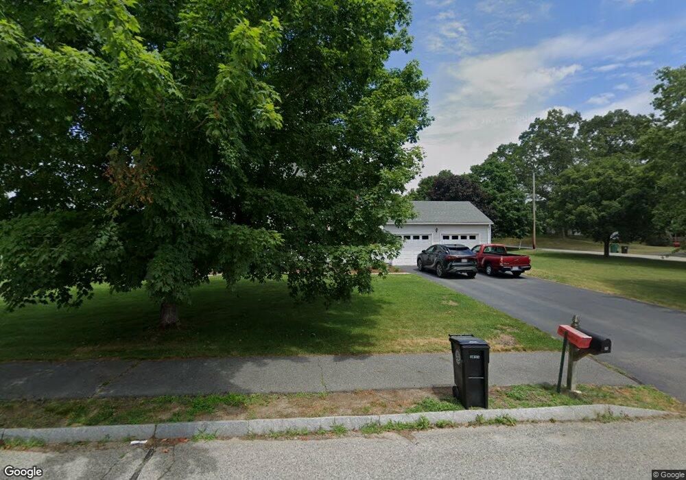
52 Shannon Way North Attleboro, MA 02760
North Attleboro NeighborhoodEstimated Value: $619,000 - $706,000
3
Beds
2
Baths
1,632
Sq Ft
$412/Sq Ft
Est. Value
About This Home
This home is located at 52 Shannon Way, North Attleboro, MA 02760 and is currently estimated at $672,134, approximately $411 per square foot. 52 Shannon Way is a home located in Bristol County with nearby schools including North Attleboro High School, Blackstone Valley Prep Elementary School 1, and Blackstone Valley Prep Elementary School 2.
Ownership History
Date
Name
Owned For
Owner Type
Purchase Details
Closed on
Apr 28, 1997
Sold by
Caponigro Ronald V
Bought by
Menard Stephen F and Menard Nancy E
Current Estimated Value
Home Financials for this Owner
Home Financials are based on the most recent Mortgage that was taken out on this home.
Original Mortgage
$170,000
Outstanding Balance
$22,822
Interest Rate
7.77%
Mortgage Type
Purchase Money Mortgage
Estimated Equity
$649,312
Create a Home Valuation Report for This Property
The Home Valuation Report is an in-depth analysis detailing your home's value as well as a comparison with similar homes in the area
Home Values in the Area
Average Home Value in this Area
Purchase History
| Date | Buyer | Sale Price | Title Company |
|---|---|---|---|
| Menard Stephen F | $179,145 | -- |
Source: Public Records
Mortgage History
| Date | Status | Borrower | Loan Amount |
|---|---|---|---|
| Open | Menard Stephen F | $170,000 |
Source: Public Records
Tax History Compared to Growth
Tax History
| Year | Tax Paid | Tax Assessment Tax Assessment Total Assessment is a certain percentage of the fair market value that is determined by local assessors to be the total taxable value of land and additions on the property. | Land | Improvement |
|---|---|---|---|---|
| 2025 | $6,644 | $563,500 | $152,800 | $410,700 |
| 2024 | $6,616 | $573,300 | $152,800 | $420,500 |
| 2023 | $6,493 | $507,700 | $159,400 | $348,300 |
| 2022 | $6,083 | $436,700 | $152,800 | $283,900 |
| 2021 | $5,732 | $401,700 | $152,800 | $248,900 |
| 2020 | $5,663 | $394,600 | $152,800 | $241,800 |
| 2019 | $5,461 | $383,500 | $139,000 | $244,500 |
| 2018 | $4,922 | $369,000 | $139,000 | $230,000 |
| 2017 | $4,878 | $369,000 | $139,000 | $230,000 |
| 2016 | $4,821 | $364,700 | $161,100 | $203,600 |
| 2015 | $4,723 | $359,400 | $167,800 | $191,600 |
| 2014 | $4,486 | $338,800 | $147,200 | $191,600 |
Source: Public Records
Map
Nearby Homes
- 30 Thomas Ave
- 28 Crowell St
- 11 Merlin St
- 6 Merlin Dr Unit 265
- 0 Mendon Rd
- 73 Vineyard Ave
- 193 Robinson Ave
- 300 England St
- 370 Bryant St
- 457 Bryant St
- 101 Highland Ave
- 3 Robin Hood Ln Unit 179
- 23 Carlson Dr
- 64 Highland Ave Unit B
- 64 Highland Ave Unit A
- 155 May St
- 113 Waterman St
- 509 Mendon Rd Unit 509
- 511 Mendon Rd Unit 511
- 1 Frederick a Nittel Dr
- 11 Waterford Dr
- 42 Shannon Way
- 51 Shannon Way
- 12 Waterford Dr
- 22 Waterford Dr
- 22 Waterford Dr Unit 1
- 41 Shannon Way
- 61 Limerick Way
- 51 Limerick Way
- 32 Shannon Way
- 41 Waterford Dr
- 32 Waterford Dr
- 31 Shannon Way
- 41 Limerick Way
- 36 Kerry Dr
- 72 Limerick Way
- 22 Shannon Way
- 21 Shannon Way
- 42 Waterford Dr
- 31 Limerick Way