52 Shenandoah Dr Toccoa, GA 30577
Estimated Value: $323,135 - $375,000
3
Beds
2
Baths
2,013
Sq Ft
$172/Sq Ft
Est. Value
About This Home
This home is located at 52 Shenandoah Dr, Toccoa, GA 30577 and is currently estimated at $346,784, approximately $172 per square foot. 52 Shenandoah Dr is a home located in Stephens County with nearby schools including Stephens County High School.
Ownership History
Date
Name
Owned For
Owner Type
Purchase Details
Closed on
Nov 23, 2009
Sold by
Jackson Bruce A
Bought by
Yergin Joseph A
Current Estimated Value
Home Financials for this Owner
Home Financials are based on the most recent Mortgage that was taken out on this home.
Original Mortgage
$88,000
Outstanding Balance
$56,935
Interest Rate
4.98%
Mortgage Type
New Conventional
Estimated Equity
$289,849
Purchase Details
Closed on
May 21, 2001
Bought by
<Buyer Info Not Present>
Purchase Details
Closed on
Mar 1, 1992
Bought by
<Buyer Info Not Present>
Create a Home Valuation Report for This Property
The Home Valuation Report is an in-depth analysis detailing your home's value as well as a comparison with similar homes in the area
Purchase History
| Date | Buyer | Sale Price | Title Company |
|---|---|---|---|
| Yergin Joseph A | $197,000 | -- | |
| <Buyer Info Not Present> | $140,400 | -- | |
| <Buyer Info Not Present> | $7,500 | -- |
Source: Public Records
Mortgage History
| Date | Status | Borrower | Loan Amount |
|---|---|---|---|
| Open | Yergin Joseph A | $88,000 |
Source: Public Records
Tax History
| Year | Tax Paid | Tax Assessment Tax Assessment Total Assessment is a certain percentage of the fair market value that is determined by local assessors to be the total taxable value of land and additions on the property. | Land | Improvement |
|---|---|---|---|---|
| 2025 | $1,646 | $113,727 | $5,785 | $107,942 |
| 2024 | $1,273 | $76,869 | $5,785 | $71,084 |
| 2023 | $1,107 | $72,061 | $5,785 | $66,276 |
| 2022 | $1,003 | $68,583 | $5,785 | $62,798 |
| 2021 | $1,942 | $64,095 | $5,785 | $58,310 |
| 2020 | $1,953 | $63,828 | $5,785 | $58,043 |
| 2019 | $1,706 | $55,785 | $5,785 | $50,000 |
| 2018 | $1,706 | $55,785 | $5,785 | $50,000 |
| 2017 | $1,732 | $55,785 | $5,785 | $50,000 |
| 2016 | $1,706 | $55,784 | $5,784 | $50,000 |
| 2015 | $1,786 | $55,784 | $5,784 | $50,000 |
| 2014 | $1,816 | $55,785 | $5,785 | $50,000 |
| 2013 | -- | $55,784 | $5,784 | $50,000 |
Source: Public Records
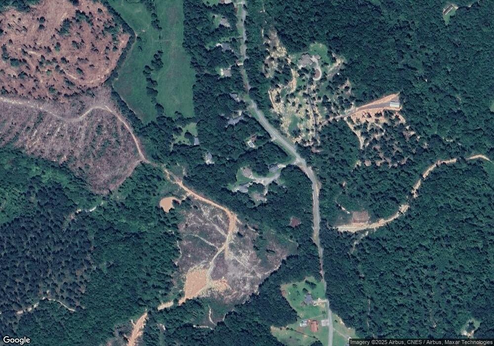
Map
Nearby Homes
- 871 W Leatherwood Rd
- 915 W Leatherwood Rd
- 2688 Nub Garland Rd
- 2089 Hicks Rd
- 2021 Hicks Rd
- 2057 Hicks Rd
- 297 E Leatherwood Rd
- 808 Cawthon Rd
- 424 Law House Rd
- 9369 Sherwood Ct
- 193 Tabitha Page Ln
- 215 Old Mize Rd
- 196 Hicks Trail
- 184 Scott Cir
- 75 Cawthon Rd
- 5831 Mize Rd
- 740 Broad River Church Rd Tract A
- 0 New Hope Rd Unit 10687453
- 838 Racetrack Rd
- 1387 Mize Rd
- 55 Shenandoah Dr
- 55 Shenandoah Dr Unit 14
- 53 Shenandoah Dr
- 1704 Nub Garland Rd
- 1710 Nub Garland Rd
- 37 Shenandoah Dr
- 1588 Nub Garland Rd
- 1842 Nub Garland Rd Unit 65
- 1842 Nub Garland Rd Unit 12
- 1842 Nub Garland Rd
- 1580 Nub Garland Rd
- 1532 Nub Garland Rd
- 1500 Nub Garland Rd
- 1932 Nub Garland Rd
- 1733 Nub Garland Rd
- 1474 Nub Garland Rd
- 1960 Nub Garland Rd
- 1458 Nub Garland Rd
- 1350 Nub Garland Rd
- 2016 Nub Garland Rd
Your Personal Tour Guide
Ask me questions while you tour the home.