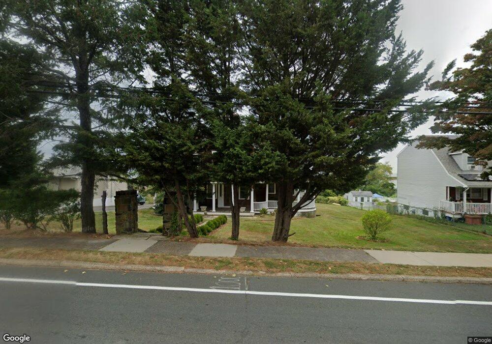
52 State Route 36 Highlands, NJ 07732
Estimated Value: $745,000 - $981,296
4
Beds
2
Baths
2,027
Sq Ft
$431/Sq Ft
Est. Value
About This Home
This home is located at 52 State Route 36, Highlands, NJ 07732 and is currently estimated at $873,432, approximately $430 per square foot. 52 State Route 36 is a home located in Monmouth County with nearby schools including Highlands Elementary School, Henry Hudson Regional School, and Holy Cross School.
Ownership History
Date
Name
Owned For
Owner Type
Purchase Details
Closed on
Dec 31, 2020
Sold by
Meyers Robert Whitney
Bought by
Jared Meyers Irrevocable Gift Trust
Current Estimated Value
Home Financials for this Owner
Home Financials are based on the most recent Mortgage that was taken out on this home.
Original Mortgage
$432,600
Interest Rate
3%
Mortgage Type
New Conventional
Purchase Details
Closed on
Aug 21, 2014
Sold by
Wojeciechowski Edward
Bought by
Meyers Robert Whitney and Meyers Jared E
Purchase Details
Closed on
Feb 1, 2013
Sold by
Burns Walter and Burns Walter J
Bought by
Wojeciechowski Edward
Create a Home Valuation Report for This Property
The Home Valuation Report is an in-depth analysis detailing your home's value as well as a comparison with similar homes in the area
Home Values in the Area
Average Home Value in this Area
Purchase History
| Date | Buyer | Sale Price | Title Company |
|---|---|---|---|
| Jared Meyers Irrevocable Gift Trust | -- | All Ahead Title | |
| Meyers Robert Whitney | -- | All Ahead Title | |
| Meyers Robert Whitney | $325,000 | Stewart Title Guaranty Co | |
| Wojeciechowski Edward | -- | None Available |
Source: Public Records
Mortgage History
| Date | Status | Borrower | Loan Amount |
|---|---|---|---|
| Previous Owner | Meyers Robert Whitney | $432,600 | |
| Previous Owner | Jared Meyers Irrevocable Gift Trust | $0 | |
| Closed | Meyers Robert Whitney | $0 |
Source: Public Records
Tax History Compared to Growth
Tax History
| Year | Tax Paid | Tax Assessment Tax Assessment Total Assessment is a certain percentage of the fair market value that is determined by local assessors to be the total taxable value of land and additions on the property. | Land | Improvement |
|---|---|---|---|---|
| 2025 | $14,509 | $793,200 | $458,800 | $334,400 |
| 2024 | $12,792 | $732,800 | $406,000 | $326,800 |
| 2023 | $12,792 | $637,700 | $353,300 | $284,400 |
| 2022 | $12,078 | $541,500 | $270,800 | $270,700 |
| 2021 | $12,078 | $486,800 | $246,200 | $240,600 |
| 2020 | $11,955 | $481,300 | $246,200 | $235,100 |
| 2019 | $12,153 | $430,200 | $246,200 | $184,000 |
| 2018 | $9,205 | $328,500 | $246,200 | $82,300 |
| 2017 | $9,237 | $328,500 | $246,200 | $82,300 |
| 2016 | $9,090 | $328,500 | $246,200 | $82,300 |
| 2015 | $9,204 | $329,300 | $246,200 | $83,100 |
| 2014 | $10,062 | $382,200 | $295,400 | $86,800 |
Source: Public Records
Map
Nearby Homes
- 59 Bay Ave
- 75 Highland Ave
- 1 Portland Rd Unit 8
- 22 Shrewsbury Ave
- 25 Shrewsbury Ave
- 115 Navesink Ave
- 30 Portland Rd Unit B-14
- E4 Hillside Ct
- 85 Valley Ave
- 10 5th St
- 35 4th St
- 94 Valley Ave
- 72 4th St
- 137 Marina Bay Ct
- 86 Seadrift Ave
- 118 Marina Bay Ct
- 114 Marina Bay Ct
- 41 Waterview Way
- 200 Portland Rd Unit E4
- 200 Portland Rd Unit D15
- 52 Navesink Ave
- 52 Navesink Ave
- 54 State Route 36
- 50 Navesink Ave
- 50 Navesink Ave Unit HWY 36
- 50 State Route 36
- 58 Navesink Ave
- 56 Navesink Ave
- 42 State Route 36
- 66 State Route 36
- 36 Navesink Ave
- 47 State Route 36
- 62 Highland Ave
- 47 Navesink Ave
- 45 State Route 36
- 72 Navesink Ave
- 66 Highland Ave
- 72 State Route 36
- 30 Navesink Ave Unit 12
- 30 Navesink Ave Unit 8