52 Swanson Ct Unit 23B Boxborough, MA 01719
Estimated Value: $195,000 - $258,896
1
Bed
1
Bath
690
Sq Ft
$319/Sq Ft
Est. Value
About This Home
This home is located at 52 Swanson Ct Unit 23B, Boxborough, MA 01719 and is currently estimated at $219,965, approximately $318 per square foot. 52 Swanson Ct Unit 23B is a home located in Middlesex County with nearby schools including Acton-Boxborough Regional High School.
Ownership History
Date
Name
Owned For
Owner Type
Purchase Details
Closed on
Sep 12, 2019
Sold by
Lyn D T Beaulieu T D and Lyn Beaulieu
Bought by
Beaulieu Alec and Major Jonathan
Current Estimated Value
Home Financials for this Owner
Home Financials are based on the most recent Mortgage that was taken out on this home.
Original Mortgage
$325,000
Outstanding Balance
$284,640
Interest Rate
3.7%
Mortgage Type
New Conventional
Estimated Equity
-$64,675
Purchase Details
Closed on
Jul 30, 2001
Sold by
Cardillo-Drouin Ann
Bought by
Jjem Rt and Brooks
Create a Home Valuation Report for This Property
The Home Valuation Report is an in-depth analysis detailing your home's value as well as a comparison with similar homes in the area
Home Values in the Area
Average Home Value in this Area
Purchase History
| Date | Buyer | Sale Price | Title Company |
|---|---|---|---|
| Beaulieu Alec | $325,000 | -- | |
| Beaulieu Alec | $325,000 | -- | |
| Jjem Rt | $60,000 | -- |
Source: Public Records
Mortgage History
| Date | Status | Borrower | Loan Amount |
|---|---|---|---|
| Open | Beaulieu Alec | $325,000 | |
| Closed | Beaulieu Alec | $325,000 |
Source: Public Records
Tax History Compared to Growth
Tax History
| Year | Tax Paid | Tax Assessment Tax Assessment Total Assessment is a certain percentage of the fair market value that is determined by local assessors to be the total taxable value of land and additions on the property. | Land | Improvement |
|---|---|---|---|---|
| 2025 | $2,843 | $187,800 | $0 | $187,800 |
| 2024 | $2,532 | $168,900 | $0 | $168,900 |
| 2023 | $2,129 | $137,200 | $0 | $137,200 |
| 2022 | $1,864 | $107,000 | $0 | $107,000 |
| 2020 | $1,695 | $101,400 | $0 | $101,400 |
| 2019 | $1,465 | $89,200 | $0 | $89,200 |
| 2018 | $1,425 | $86,700 | $0 | $86,700 |
| 2017 | $1,335 | $79,400 | $0 | $79,400 |
| 2016 | $1,211 | $74,000 | $0 | $74,000 |
| 2015 | $1,151 | $69,100 | $0 | $69,100 |
| 2014 | $1,247 | $70,500 | $0 | $70,500 |
Source: Public Records
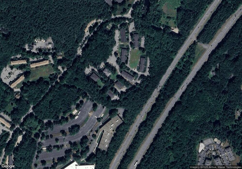
Map
Nearby Homes
- 53 Swanson Ct Unit 36C
- 50 Spencer Rd Unit 36
- 58 Spencer Rd Unit 18K
- 220 Swanson Rd Unit 605
- 220 Swanson Rd Unit 606
- 220 Swanson Rd Unit 604
- 1155 Burroughs Rd
- 310 Codman Hill Rd Unit 35D
- 139 Picnic St
- 63 Leonard Rd Unit 63
- 14 Leonard Rd
- 777 Depot Rd
- 24 Fairbanks St
- 5 Fairbank St
- 332 Old Littleton Rd
- 14 Pine Hill Way
- 13 Pine Hill Way
- 16 A Pine Hill Way Unit 16AA
- 18 B Pine Hill Way Unit BB
- 96 Cedarwood Rd
- 52 Swanson Ct Unit 36B
- 52 Swanson Ct Unit 35B
- 52 Swanson Ct Unit 34B
- 52 Swanson Ct Unit 33B
- 52 Swanson Ct Unit 32B
- 52 Swanson Ct Unit 31B
- 52 Swanson Ct Unit 26B
- 52 Swanson Ct Unit 25B
- 52 Swanson Ct Unit 24B
- 52 Swanson Ct Unit 22B
- 52 Swanson Ct Unit 21B
- 52 Swanson Ct Unit 16B
- 52 Swanson Ct Unit 15B
- 52 Swanson Ct Unit 14B
- 52 Swanson Ct Unit 13B
- 52 Swanson Ct Unit 12B
- 52 Swanson Ct Unit 11B
- 52 Swanson Ct Unit B34
- 52 Swanson Ct Unit Bldg B 34
- 52 Swanson Ct