52 Swanson Ct Unit 31B Boxborough, MA 01719
Estimated Value: $226,000 - $253,451
2
Beds
1
Bath
830
Sq Ft
$287/Sq Ft
Est. Value
About This Home
This home is located at 52 Swanson Ct Unit 31B, Boxborough, MA 01719 and is currently estimated at $238,363, approximately $287 per square foot. 52 Swanson Ct Unit 31B is a home located in Middlesex County with nearby schools including Acton-Boxborough Regional High School.
Ownership History
Date
Name
Owned For
Owner Type
Purchase Details
Closed on
Aug 30, 2021
Sold by
Lefebvre Brian C and Lefebvre Mark R
Bought by
Holtzman Leif
Current Estimated Value
Purchase Details
Closed on
Oct 31, 1995
Sold by
Boston Fed Sb
Bought by
Lefebvre Mark R and Lefebvre Brian C
Home Financials for this Owner
Home Financials are based on the most recent Mortgage that was taken out on this home.
Original Mortgage
$33,600
Interest Rate
7.6%
Mortgage Type
Purchase Money Mortgage
Purchase Details
Closed on
Jun 30, 1995
Sold by
Kotelly William J and Kotelly George V
Bought by
Boston Federal Sb
Create a Home Valuation Report for This Property
The Home Valuation Report is an in-depth analysis detailing your home's value as well as a comparison with similar homes in the area
Home Values in the Area
Average Home Value in this Area
Purchase History
| Date | Buyer | Sale Price | Title Company |
|---|---|---|---|
| Holtzman Leif | $160,000 | None Available | |
| Lefebvre Mark R | $42,000 | -- | |
| Boston Federal Sb | $28,000 | -- |
Source: Public Records
Mortgage History
| Date | Status | Borrower | Loan Amount |
|---|---|---|---|
| Previous Owner | Boston Federal Sb | $33,600 |
Source: Public Records
Tax History Compared to Growth
Tax History
| Year | Tax Paid | Tax Assessment Tax Assessment Total Assessment is a certain percentage of the fair market value that is determined by local assessors to be the total taxable value of land and additions on the property. | Land | Improvement |
|---|---|---|---|---|
| 2025 | $3,708 | $244,900 | $0 | $244,900 |
| 2024 | $3,293 | $219,700 | $0 | $219,700 |
| 2023 | $2,722 | $175,400 | $0 | $175,400 |
| 2022 | $2,557 | $146,800 | $0 | $146,800 |
| 2020 | $2,326 | $139,100 | $0 | $139,100 |
| 2019 | $2,008 | $122,300 | $0 | $122,300 |
| 2018 | $1,970 | $119,800 | $0 | $119,800 |
| 2017 | $1,794 | $106,700 | $0 | $106,700 |
| 2016 | $1,618 | $98,900 | $0 | $98,900 |
| 2015 | $1,530 | $91,900 | $0 | $91,900 |
| 2014 | $1,562 | $88,300 | $0 | $88,300 |
Source: Public Records
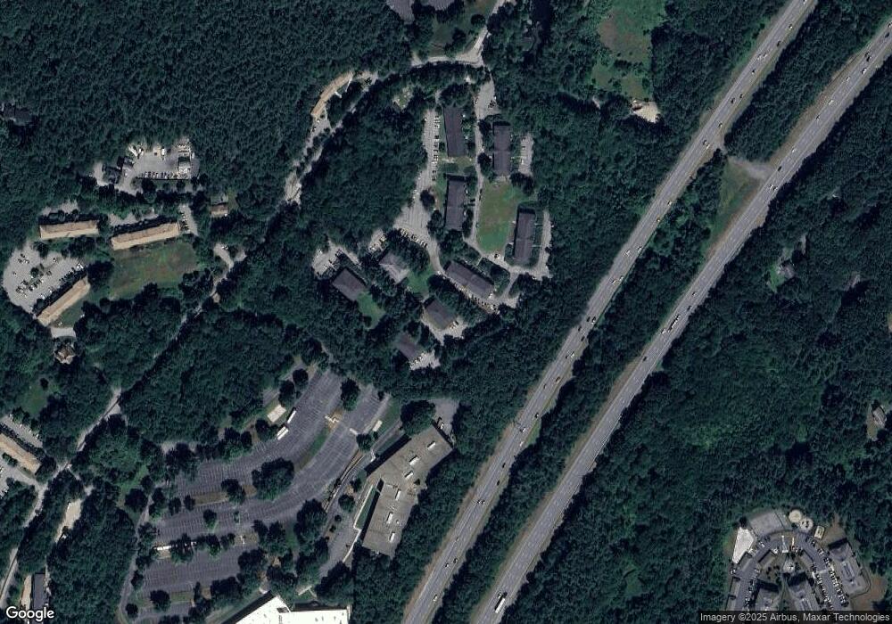
Map
Nearby Homes
- 42 Swanson Ct Unit 14A
- 53 Swanson Ct Unit 36C
- 50 Spencer Rd Unit 36
- 58 Spencer Rd Unit 18K
- 220 Swanson Rd Unit 605
- 220 Swanson Rd Unit 606
- 176 Swanson Rd Unit 309
- 89 School House Ln
- 1155 Burroughs Rd
- 310 Codman Hill Rd Unit 35D
- 139 Picnic St
- 166 Littleton Rd Unit 3
- 63 Leonard Rd Unit 63
- 777 Depot Rd
- 24 Fairbanks St
- 4 Bolton Rd
- 11 Fairbanks St Unit 2
- 62 Waite Rd
- 5 Fairbank St
- 332 Old Littleton Rd
- 52 Swanson Ct Unit 36B
- 52 Swanson Ct Unit 35B
- 52 Swanson Ct Unit 34B
- 52 Swanson Ct Unit 33B
- 52 Swanson Ct Unit 32B
- 52 Swanson Ct Unit 26B
- 52 Swanson Ct Unit 25B
- 52 Swanson Ct Unit 24B
- 52 Swanson Ct Unit 23B
- 52 Swanson Ct Unit 22B
- 52 Swanson Ct Unit 21B
- 52 Swanson Ct Unit 16B
- 52 Swanson Ct Unit 15B
- 52 Swanson Ct Unit 14B
- 52 Swanson Ct Unit 13B
- 52 Swanson Ct Unit 12B
- 52 Swanson Ct Unit 11B
- 52 Swanson Ct Unit B34
- 52 Swanson Ct Unit Bldg B 34
- 52 Swanson Ct