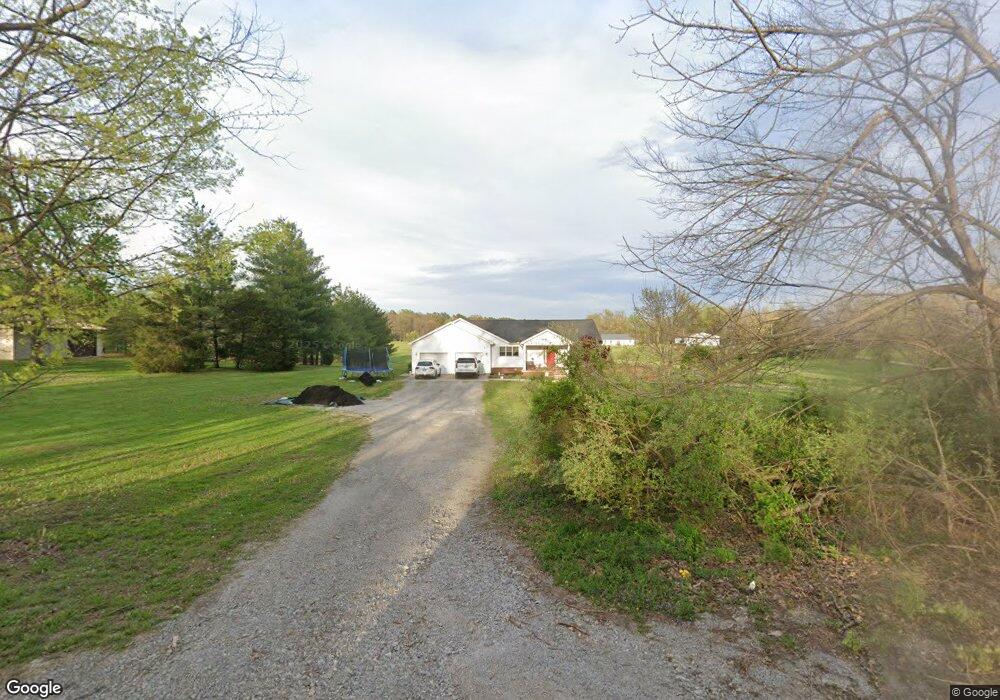
52 Thomas Rd Carbondale, IL 62902
Estimated Value: $287,000 - $377,000
--
Bed
--
Bath
2,100
Sq Ft
$154/Sq Ft
Est. Value
About This Home
This home is located at 52 Thomas Rd, Carbondale, IL 62902 and is currently estimated at $324,440, approximately $154 per square foot. 52 Thomas Rd is a home with nearby schools including Giant City Elementary School, Carbondale Community High School, and Carbondale New School.
Ownership History
Date
Name
Owned For
Owner Type
Purchase Details
Closed on
Oct 28, 2019
Sold by
Frisch D Scott D and Frisch Paula M
Bought by
Baumgarden Tonja N and Baumgarden Christopher P
Current Estimated Value
Home Financials for this Owner
Home Financials are based on the most recent Mortgage that was taken out on this home.
Original Mortgage
$195,000
Outstanding Balance
$171,550
Interest Rate
3.6%
Mortgage Type
New Conventional
Estimated Equity
$152,890
Purchase Details
Closed on
Jul 23, 2004
Bought by
Frisch D Scott
Create a Home Valuation Report for This Property
The Home Valuation Report is an in-depth analysis detailing your home's value as well as a comparison with similar homes in the area
Home Values in the Area
Average Home Value in this Area
Purchase History
| Date | Buyer | Sale Price | Title Company |
|---|---|---|---|
| Baumgarden Tonja N | $225,000 | -- | |
| Frisch D Scott | $23,500 | -- |
Source: Public Records
Mortgage History
| Date | Status | Borrower | Loan Amount |
|---|---|---|---|
| Open | Baumgarden Tonja N | $195,000 |
Source: Public Records
Tax History Compared to Growth
Tax History
| Year | Tax Paid | Tax Assessment Tax Assessment Total Assessment is a certain percentage of the fair market value that is determined by local assessors to be the total taxable value of land and additions on the property. | Land | Improvement |
|---|---|---|---|---|
| 2024 | $7,072 | $84,803 | $13,900 | $70,903 |
| 2023 | $6,566 | $76,812 | $12,590 | $64,222 |
| 2022 | $6,353 | $70,912 | $11,623 | $59,289 |
| 2021 | $5,879 | $67,465 | $11,058 | $56,407 |
| 2020 | $5,810 | $68,659 | $11,254 | $57,405 |
| 2019 | $5,539 | $68,940 | $11,300 | $57,640 |
| 2018 | $5,594 | $71,940 | $11,792 | $60,148 |
| 2017 | $5,760 | $73,168 | $11,792 | $61,376 |
| 2016 | $5,698 | $73,168 | $11,792 | $61,376 |
| 2015 | -- | $69,701 | $11,792 | $57,909 |
| 2014 | -- | $69,701 | $11,792 | $57,909 |
| 2012 | -- | $71,124 | $12,033 | $59,091 |
Source: Public Records
Map
Nearby Homes
- 102 Thomas Rd
- 000 W No Name Rd
- 580 Phillips Rd
- 1470 W No Name Rd
- 73 Grassy Meadow Ln
- 0000 Mcdaniel Dr
- 288 Heather Lynn Ln
- 173 Lake Indian Hills Cir
- 69 High Ridge Rd
- 1408 Bobette Ln
- 41 Mossy Oak Trail
- 1275 E Park St
- 88 Dakota Rd
- 1250 E Park St
- 1410 Bradford Ln
- Lot 3 Falcon Rd
- Lot 6 Falcon Rd
- Lot 5 Falcon Rd
- Lot 4 Falcon Rd
- 73 Upper Brush Hill Rd
- 65 Thomas Rd
- 0000 W No Name Rd
- 113 Thomas Rd
- 1174 W No Name Rd
- 1231 W No Name Rd
- 121 Holiday Trace Dr
- 156 Thomas Rd
- 23 Holiday Trace Dr
- 23 Holiday Trace Dr Unit 12
- 1259 W No Name Rd
- 129 Holiday Trace Dr
- 1283 W No Name Rd
- 1274 W No Name Rd
- 546 Crowell Rd
- 1208 W No Name Rd
- 118 Holiday Trace Dr
- 1314 W No Name Rd
- 586 Crowell Rd
- 1345 W No Name Rd
- 138 Holiday Trace Dr