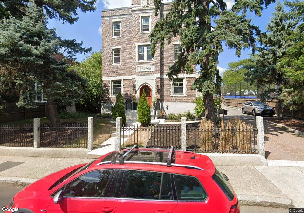
52 Thurston St Unit 1 Somerville, MA 02145
Winter Hill NeighborhoodEstimated Value: $1,229,000 - $1,731,000
3
Beds
3
Baths
2,700
Sq Ft
$525/Sq Ft
Est. Value
About This Home
This home is located at 52 Thurston St Unit 1, Somerville, MA 02145 and is currently estimated at $1,418,344, approximately $525 per square foot. 52 Thurston St Unit 1 is a home located in Middlesex County with nearby schools including Somerville High School and Torit Montessori School.
Ownership History
Date
Name
Owned For
Owner Type
Purchase Details
Closed on
Jun 27, 2023
Sold by
Doyle Edward L and Bouxsein Mary L
Bought by
Edward L Doyle Lt and Doyle
Current Estimated Value
Purchase Details
Closed on
Aug 17, 2010
Sold by
Dedic Andrade Dev
Bought by
Doyle Edward L and Bouxsein Mary L
Home Financials for this Owner
Home Financials are based on the most recent Mortgage that was taken out on this home.
Original Mortgage
$596,000
Interest Rate
4.63%
Mortgage Type
Purchase Money Mortgage
Create a Home Valuation Report for This Property
The Home Valuation Report is an in-depth analysis detailing your home's value as well as a comparison with similar homes in the area
Home Values in the Area
Average Home Value in this Area
Purchase History
| Date | Buyer | Sale Price | Title Company |
|---|---|---|---|
| Edward L Doyle Lt | -- | None Available | |
| Doyle Edward L | $745,000 | -- | |
| Doyle Edward L | $745,000 | -- |
Source: Public Records
Mortgage History
| Date | Status | Borrower | Loan Amount |
|---|---|---|---|
| Previous Owner | Doyle Edward L | $596,000 |
Source: Public Records
Tax History Compared to Growth
Tax History
| Year | Tax Paid | Tax Assessment Tax Assessment Total Assessment is a certain percentage of the fair market value that is determined by local assessors to be the total taxable value of land and additions on the property. | Land | Improvement |
|---|---|---|---|---|
| 2025 | $12,568 | $1,152,000 | $0 | $1,152,000 |
| 2024 | $11,808 | $1,122,400 | $0 | $1,122,400 |
| 2023 | $11,538 | $1,115,900 | $0 | $1,115,900 |
| 2022 | $11,159 | $1,096,200 | $0 | $1,096,200 |
| 2021 | $10,949 | $1,074,500 | $0 | $1,074,500 |
| 2020 | $10,623 | $1,052,800 | $0 | $1,052,800 |
| 2019 | $10,860 | $1,009,300 | $0 | $1,009,300 |
| 2018 | $11,248 | $994,500 | $0 | $994,500 |
| 2017 | $10,952 | $938,500 | $0 | $938,500 |
| 2016 | $10,905 | $870,300 | $0 | $870,300 |
| 2015 | $10,847 | $860,200 | $0 | $860,200 |
Source: Public Records
Map
Nearby Homes
- 71 Thurston St
- 31 Thurston St Unit 6
- 25 Browning Rd
- 115 Thurston St Unit I
- 115 Thurston St Unit B
- 59 Dartmouth St Unit A
- 390 Broadway Unit 24
- 7 Bond St
- 176-182 Broadway
- 456 Medford St Unit 3
- 19 Fenwick St Unit 4
- 185 School St
- 89 Heath St
- 7 Stickney Ave
- 10 Mortimer Place
- 94 Jaques St Unit B
- 105 Central St
- 441 Broadway
- 15 Albion St
- 51 Edgar Ave
- 52 Thurston St
- 52 Thurston St Unit 3
- 52 Thurston St Unit 2
- 49 Thurston St
- 49 Thurston St Unit 2
- 49 Thurston St Unit 1
- 45 Thurston St
- 45 Thurston St
- 43 Thurston St
- 39 Thurston St
- 39 Thurston St
- 39 Thurston St Unit 3
- 39 Thurston St Unit 1
- 39 Thurston St Unit 2
- 50 Evergreen Ave Unit 2
- 35 Thurston St Unit 3
- 64 Thurston St
- 33 Thurston St
- 63 Evergreen Ave
- 28 Dartmouth St