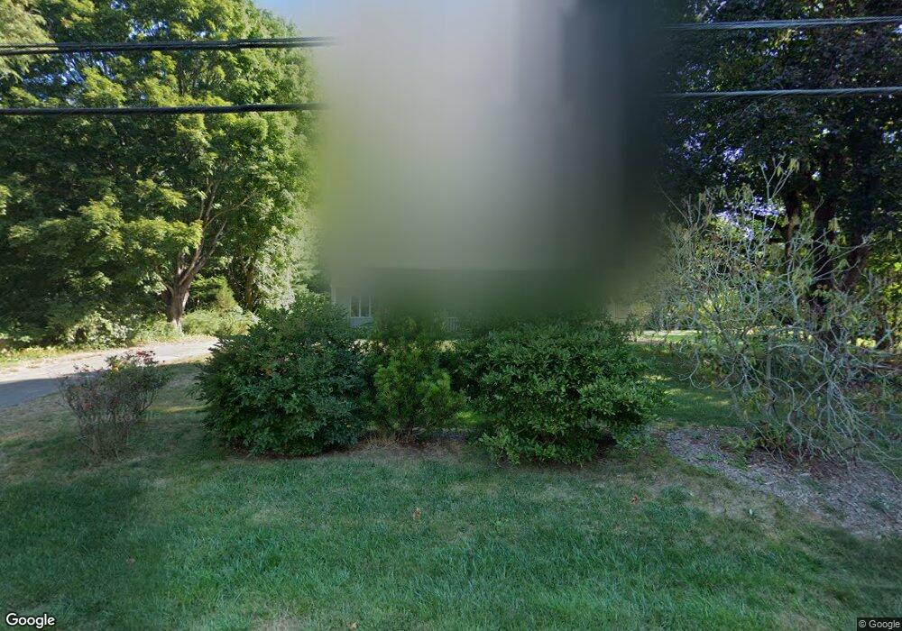
52 Toby Hill Rd Westbrook, CT 06498
Estimated Value: $637,000 - $745,000
3
Beds
4
Baths
2,596
Sq Ft
$266/Sq Ft
Est. Value
About This Home
This home is located at 52 Toby Hill Rd, Westbrook, CT 06498 and is currently estimated at $689,795, approximately $265 per square foot. 52 Toby Hill Rd is a home located in Middlesex County with nearby schools including Daisy Ingraham School, Westbrook Middle School, and Westbrook High School.
Ownership History
Date
Name
Owned For
Owner Type
Purchase Details
Closed on
Apr 11, 2025
Sold by
Schwab Fred P and Foley Nancy S
Bought by
Foley Michael F and Foley Nancy S
Current Estimated Value
Create a Home Valuation Report for This Property
The Home Valuation Report is an in-depth analysis detailing your home's value as well as a comparison with similar homes in the area
Home Values in the Area
Average Home Value in this Area
Purchase History
| Date | Buyer | Sale Price | Title Company |
|---|---|---|---|
| Foley Michael F | -- | None Available | |
| Foley Michael F | -- | None Available | |
| Foley Michael F | -- | None Available |
Source: Public Records
Tax History
| Year | Tax Paid | Tax Assessment Tax Assessment Total Assessment is a certain percentage of the fair market value that is determined by local assessors to be the total taxable value of land and additions on the property. | Land | Improvement |
|---|---|---|---|---|
| 2025 | $6,947 | $308,740 | $95,510 | $213,230 |
| 2024 | $6,700 | $308,740 | $95,510 | $213,230 |
| 2023 | $6,582 | $308,740 | $95,510 | $213,230 |
| 2022 | $6,409 | $308,740 | $95,510 | $213,230 |
| 2021 | $6,265 | $250,610 | $57,300 | $193,310 |
| 2020 | $6,265 | $250,610 | $57,300 | $193,310 |
| 2019 | $6,183 | $250,610 | $57,300 | $193,310 |
| 2018 | $6,107 | $250,610 | $57,300 | $193,310 |
| 2017 | $6,107 | $250,610 | $57,300 | $193,310 |
| 2016 | $6,010 | $259,720 | $57,300 | $202,420 |
| 2015 | $5,846 | $259,720 | $57,300 | $202,420 |
| 2014 | $5,659 | $259,720 | $57,300 | $202,420 |
Source: Public Records
Map
Nearby Homes
- 207 Pettipaug Rd
- 10 Winterberry Cir
- 369 Pond Meadow Rd
- 11a/11b Pond Circle Rd
- 41 Trolley Rd
- 29 Salt Island Rd
- 1020 Old Clinton Rd
- 951 Old Clinton Rd Unit 15
- 1 Lake Louise Dr
- 328 Hammock Rd N
- 8 Cook Terrace
- 1780 Boston Post Rd
- 14 Denmore Ln
- 118 Sandy Point Rd
- 0 Boston Post Rd Unit 24080344
- 39 Sagamore Terrace Rd
- 40 Hammock Rd S
- 0 Merritt Ln
- 122 Old Post Rd
- 37 Nolin Rd
- 36 Toby Hill Rd
- 38 Johnson Pond Ln
- 88 Toby Hill Rd
- 29 Johnson Pond Ln
- 13 Toby Hill Rd
- 12 Toby Hill Rd
- 6 Toby Hill Rd
- 0 Toby Hill Rd Unit 170043151
- 0 Toby Hill Rd Unit M9109016
- 0 Toby Hill Rd Unit M9109014
- 0 Toby Hill Rd Unit M9110833
- 0 Toby Hill Rd Unit G10177426
- 1 Toby Hill Rd
- 0 Toby Hill Rd Unit M9109017
- 0 Toby Hill Rd Unit M9110081
- 0 Toby Hill Rd Unit E237236
- 0 Toby Hill Rd Unit 170161704
- 66 Toby Hill Rd
- 488 McVeagh Rd
- 69 Johnson Pond Ln
Your Personal Tour Guide
Ask me questions while you tour the home.