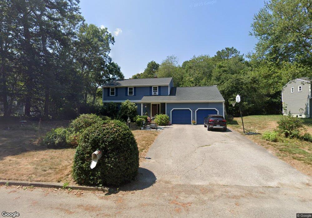
52 Tomahawk Cir Saunderstown, RI 02874
Saunderstown NeighborhoodEstimated Value: $733,705 - $981,000
4
Beds
3
Baths
2,274
Sq Ft
$368/Sq Ft
Est. Value
About This Home
This home is located at 52 Tomahawk Cir, Saunderstown, RI 02874 and is currently estimated at $836,426, approximately $367 per square foot. 52 Tomahawk Cir is a home located in Washington County with nearby schools including Stony Lane Elementary School, Wickford Middle School, and North Kingstown Sr. High School.
Ownership History
Date
Name
Owned For
Owner Type
Purchase Details
Closed on
Aug 14, 1998
Sold by
Bender Carl F and Bender Barbara A
Bought by
Jager Keith A and Jager Kristin A
Current Estimated Value
Home Financials for this Owner
Home Financials are based on the most recent Mortgage that was taken out on this home.
Original Mortgage
$70,000
Outstanding Balance
$14,629
Interest Rate
6.94%
Estimated Equity
$821,797
Create a Home Valuation Report for This Property
The Home Valuation Report is an in-depth analysis detailing your home's value as well as a comparison with similar homes in the area
Home Values in the Area
Average Home Value in this Area
Purchase History
| Date | Buyer | Sale Price | Title Company |
|---|---|---|---|
| Jager Keith A | $197,500 | -- |
Source: Public Records
Mortgage History
| Date | Status | Borrower | Loan Amount |
|---|---|---|---|
| Open | Jager Keith A | $70,000 |
Source: Public Records
Tax History Compared to Growth
Tax History
| Year | Tax Paid | Tax Assessment Tax Assessment Total Assessment is a certain percentage of the fair market value that is determined by local assessors to be the total taxable value of land and additions on the property. | Land | Improvement |
|---|---|---|---|---|
| 2025 | $7,331 | $664,000 | $308,900 | $355,100 |
| 2024 | $7,725 | $538,700 | $268,900 | $269,800 |
| 2023 | $7,725 | $538,700 | $268,900 | $269,800 |
| 2022 | $7,574 | $538,700 | $268,900 | $269,800 |
| 2021 | $6,489 | $370,800 | $146,600 | $224,200 |
| 2020 | $6,337 | $370,800 | $146,600 | $224,200 |
| 2019 | $6,337 | $370,800 | $146,600 | $224,200 |
| 2018 | $6,516 | $343,500 | $146,600 | $196,900 |
| 2017 | $6,386 | $343,500 | $146,600 | $196,900 |
| 2016 | $6,204 | $343,500 | $146,600 | $196,900 |
| 2015 | $6,195 | $321,000 | $141,800 | $179,200 |
| 2014 | $6,070 | $321,000 | $141,800 | $179,200 |
Source: Public Records
Map
Nearby Homes
- 55 Whisper Ln
- 210 Explorer Dr
- 202 Explorer Dr
- 158 Explorer Dr
- 168 Explorer Dr
- 0 W Allenton Rd
- 247 Glen Hill Dr
- 449 Sylvan Ct
- 470 Sylvan Ct
- 620 Dry Bridge Rd
- 47 Shady Lea Rd
- 150 Delta Dr
- 65 Village Hill Ln
- 53 Morgan Ct
- 527 Hatchery Rd
- 67 Daniel Dr
- 35 Collation Cir
- 48 Fieldstone Ln
- 159 Ten Rod Rd
- 25 Advent St
- 62 Tomahawk Cir
- 30 Tomahawk Cir
- 68 Tomahawk Cir
- 108 Tomahawk Cir
- 35 Tomahawk Cir
- 96 Tomahawk Cir
- 88 Tomahawk Cir
- 76 Tomahawk Cir
- 84 Tomahawk Cir
- 15 Tomahawk Cir
- 30 Field Ct
- 11 Exeter Rd
- 229 Indian Corner Rd
- 61 Exeter Rd
- 0 Exeter Rd
- 185 Indian Corner Rd
- 31 Field Ct
- 65 Exeter Rd
- 250 Indian Corner Rd
- 216 Indian Corner Rd