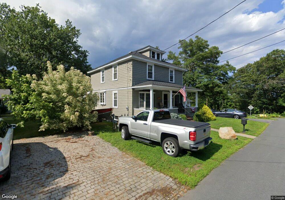
52 Topping Rd Andover, MA 01810
Shawsheen Heights NeighborhoodEstimated Value: $637,000 - $693,000
3
Beds
2
Baths
1,635
Sq Ft
$403/Sq Ft
Est. Value
About This Home
This home is located at 52 Topping Rd, Andover, MA 01810 and is currently estimated at $658,947, approximately $403 per square foot. 52 Topping Rd is a home located in Essex County with nearby schools including West Elementary School, Andover West Middle School, and Andover High School.
Ownership History
Date
Name
Owned For
Owner Type
Purchase Details
Closed on
Dec 17, 2010
Sold by
Charland Robert D and Charland Edith G
Bought by
Charland Robert D and Charland Edith G
Current Estimated Value
Purchase Details
Closed on
Feb 16, 1973
Bought by
Charland Robert D and Charland Edith G
Create a Home Valuation Report for This Property
The Home Valuation Report is an in-depth analysis detailing your home's value as well as a comparison with similar homes in the area
Home Values in the Area
Average Home Value in this Area
Purchase History
We collect this data history from publicly available records. To have your information removed, we recommend requesting removal directly through your county’s website.
| Date | Buyer | Sale Price | Title Company |
|---|---|---|---|
| Charland Robert D | -- | -- | |
| Charland Robert D | $31,500 | -- |
Source: Public Records
Mortgage History
We collect this data history from publicly available records. To have your information removed, we recommend requesting removal directly through your county’s website.
| Date | Status | Borrower | Loan Amount |
|---|---|---|---|
| Previous Owner | Charland Robert D | $67,000 |
Source: Public Records
Tax History
| Year | Tax Paid | Tax Assessment Tax Assessment Total Assessment is a certain percentage of the fair market value that is determined by local assessors to be the total taxable value of land and additions on the property. | Land | Improvement |
|---|---|---|---|---|
| 2025 | $6,993 | $559,900 | $267,700 | $292,200 |
| 2024 | $6,713 | $521,200 | $241,600 | $279,600 |
| 2023 | $6,409 | $469,200 | $217,500 | $251,700 |
| 2022 | $6,208 | $425,200 | $189,000 | $236,200 |
| 2021 | $5,939 | $388,400 | $172,000 | $216,400 |
| 2020 | $5,692 | $379,200 | $167,600 | $211,600 |
| 2019 | $5,627 | $368,500 | $162,600 | $205,900 |
| 2018 | $5,399 | $345,200 | $156,300 | $188,900 |
| 2017 | $5,167 | $340,400 | $153,200 | $187,200 |
| 2016 | $5,045 | $340,400 | $153,200 | $187,200 |
| 2015 | $4,840 | $323,300 | $147,200 | $176,100 |
Source: Public Records
Map
Nearby Homes
- 539-541 S Broadway
- 59 William St
- 42 York St
- 401 S Broadway
- 17 Gorham St
- 5 Lafayette Ave
- 21 Clubview Dr Unit 21
- 11 Swan Ln Unit 11
- 90 Beacon St Unit 12
- 15-17 Stirling St
- 2 Dove Ln Unit 2
- 33 Garfield St
- 25 Clubview Dr Unit 25
- 7 Rock o Dundee Rd
- 8 Brookfield St
- 80 B Washington Park Dr Unit 7
- 9 Muirfield Cir Unit 9
- 9 Muirfield Cir
- 70 Washington Park Dr Unit 6
- 199-205 Boxford St
- 51 Juliette St
- 50 Topping Rd
- 53 Topping Rd
- 45 Juliette St
- 48 Juliette St
- 39 Topping Rd
- 50 Juliette St
- 46 Topping Rd
- 44 Juliette St
- 35 Mckenney Cir
- 35 Mckenney Cir Unit 1
- 40 Topping Rd
- 33 Mckenney Cir
- 37 Juliette St
- 38 Juliette St
- 37 Topping Rd
- 31 Mckenney Cir
- 29 Mckenney Cir
- 35 Juliette St
- 34 Juliette St
Your Personal Tour Guide
Ask me questions while you tour the home.