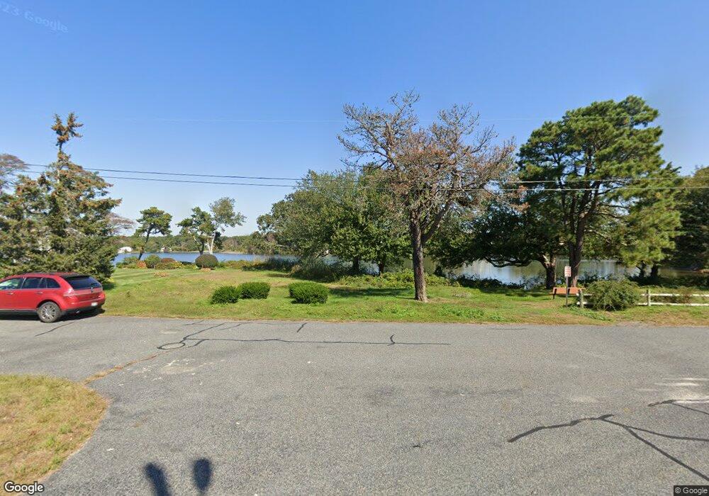
52 Uncle Stevens Rd West Dennis, MA 02670
West Dennis NeighborhoodEstimated Value: $1,362,000 - $1,961,000
4
Beds
2
Baths
2,131
Sq Ft
$813/Sq Ft
Est. Value
About This Home
This home is located at 52 Uncle Stevens Rd, West Dennis, MA 02670 and is currently estimated at $1,732,141, approximately $812 per square foot. 52 Uncle Stevens Rd is a home located in Barnstable County with nearby schools including Dennis-Yarmouth Regional High School and St. Pius X. School.
Ownership History
Date
Name
Owned For
Owner Type
Purchase Details
Closed on
Apr 28, 2005
Sold by
Whalen Hazel M and Whalen Thomas M
Bought by
H M W Ret
Current Estimated Value
Create a Home Valuation Report for This Property
The Home Valuation Report is an in-depth analysis detailing your home's value as well as a comparison with similar homes in the area
Home Values in the Area
Average Home Value in this Area
Purchase History
| Date | Buyer | Sale Price | Title Company |
|---|---|---|---|
| H M W Ret | -- | -- |
Source: Public Records
Tax History Compared to Growth
Tax History
| Year | Tax Paid | Tax Assessment Tax Assessment Total Assessment is a certain percentage of the fair market value that is determined by local assessors to be the total taxable value of land and additions on the property. | Land | Improvement |
|---|---|---|---|---|
| 2025 | $7,198 | $1,662,300 | $1,063,200 | $599,100 |
| 2024 | $6,523 | $1,485,800 | $912,900 | $572,900 |
| 2023 | $6,308 | $1,350,800 | $829,900 | $520,900 |
| 2022 | $6,358 | $1,135,400 | $747,600 | $387,800 |
| 2021 | $6,440 | $1,068,000 | $732,900 | $335,100 |
| 2020 | $6,398 | $1,048,800 | $732,900 | $315,900 |
| 2019 | $4,785 | $775,500 | $494,400 | $281,100 |
| 2018 | $6,756 | $735,800 | $470,600 | $265,200 |
| 2017 | $4,525 | $735,800 | $470,600 | $265,200 |
| 2016 | $4,463 | $683,400 | $465,100 | $218,300 |
| 2015 | $4,374 | $683,400 | $465,100 | $218,300 |
| 2014 | $4,141 | $652,200 | $443,200 | $209,000 |
Source: Public Records
Map
Nearby Homes
- 6 Baker Way
- 178 School St
- 61 Trotters Ln
- 27 Mayflower Ln
- 14 Schoolhouse Ln
- 23 Doric Ave
- 401 Main St Unit 201
- 401 Main St Unit 101
- 2 Rita Mary Way
- 10 Grindell Ave
- 209 Main St Unit 3
- 209 Main St Unit 6
- 209 Main St Unit 1
- 209 Main St Unit 2
- 209 Main St Unit 4
- 209 Main St Unit 5
- 467 Main St
- 428 Main St Unit 1-11
- 37 Ocean Dr Unit 2
- 112 Old Wharf Rd Unit E4
- 52 Uncle Stephens Rd
- 56 Uncle Stephens Rd Unit G
- 56 Uncle Stephens Rd
- 56 Uncle Stephens Rd Unit D
- 48 Uncle Stephens Rd
- 56D Uncle Stephens Rd
- 56D Uncle Stephens Rd Unit 4
- 56D Uncle Stephens Rd Unit D
- 46 Uncle Stevens Rd
- 61 Uncle Stevens Rd Unit 8
- 61 Uncle Stevens Rd Unit 7
- 61 Uncle Stevens Rd Unit 6
- 61 Uncle Stevens Rd Unit 4
- 61 Uncle Stevens Rd Unit 3
- 61 Uncle Stevens Rd Unit 2
- 61 Uncle Stevens Rd Unit 1
- 53 Uncle Stevens Rd
- 56 Uncle Stevens Rd Unit G
- 56 Uncle Stevens Rd Unit F
- 56 Uncle Stevens Rd Unit E