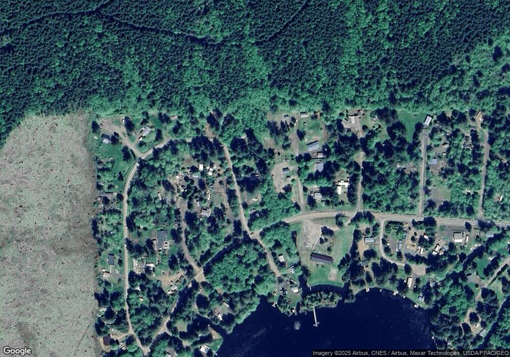
Estimated Value: $233,000 - $308,000
2
Beds
2
Baths
1,152
Sq Ft
$235/Sq Ft
Est. Value
About This Home
This home is located at 52 W Hamma Hamma Dr, Elma, WA 98541 and is currently estimated at $270,500, approximately $234 per square foot. 52 W Hamma Hamma Dr is a home located in Mason County with nearby schools including Elma Elementary School, Elma Middle School, and Elma High School.
Ownership History
Date
Name
Owned For
Owner Type
Purchase Details
Closed on
May 20, 2019
Sold by
Babb Raymond H and Babb Julie
Bought by
Arndt Kerri Lyn
Current Estimated Value
Home Financials for this Owner
Home Financials are based on the most recent Mortgage that was taken out on this home.
Original Mortgage
$163,386
Outstanding Balance
$143,358
Interest Rate
4.1%
Mortgage Type
FHA
Estimated Equity
$127,142
Purchase Details
Closed on
Mar 9, 2018
Sold by
Mason County
Bought by
Babb Raymond H
Purchase Details
Closed on
Feb 27, 2018
Sold by
Frazier Elisabeth
Bought by
Babb Raymond H
Create a Home Valuation Report for This Property
The Home Valuation Report is an in-depth analysis detailing your home's value as well as a comparison with similar homes in the area
Home Values in the Area
Average Home Value in this Area
Purchase History
| Date | Buyer | Sale Price | Title Company |
|---|---|---|---|
| Arndt Kerri Lyn | $166,119 | Mason County Title Co | |
| Babb Raymond H | -- | None Listed On Document | |
| Babb Raymond H | -- | None Available |
Source: Public Records
Mortgage History
| Date | Status | Borrower | Loan Amount |
|---|---|---|---|
| Open | Arndt Kerri Lyn | $163,386 |
Source: Public Records
Tax History Compared to Growth
Tax History
| Year | Tax Paid | Tax Assessment Tax Assessment Total Assessment is a certain percentage of the fair market value that is determined by local assessors to be the total taxable value of land and additions on the property. | Land | Improvement |
|---|---|---|---|---|
| 2025 | $1,375 | $212,430 | $2,790 | $209,640 |
| 2023 | $1,375 | $120,625 | $5,560 | $115,065 |
| 2022 | $1,033 | $109,770 | $4,280 | $105,490 |
| 2021 | $1,026 | $109,770 | $4,280 | $105,490 |
| 2020 | $604 | $101,095 | $4,280 | $96,815 |
| 2018 | $613 | $51,215 | $7,000 | $44,215 |
| 2017 | $583 | $51,215 | $7,000 | $44,215 |
| 2016 | $592 | $51,980 | $7,000 | $44,980 |
| 2015 | $613 | $52,330 | $7,350 | $44,980 |
| 2014 | -- | $54,090 | $7,350 | $46,740 |
| 2013 | -- | $54,515 | $7,350 | $47,165 |
Source: Public Records
Map
Nearby Homes
- 192 Arrowhead Dr
- 72 Lot Arrowhead Dr
- 131 W Chimacum Dr
- 0 Lot 87 W Star Lake Dr
- 21 W Prairie Loop Rd
- 1600 W Star Lake Dr
- 20 W Newberry Ln
- 151 W Buck Prairie Rd
- 0 Lot 4 W Elk Hill Rd
- 0 Lot 1&2 W Elk Hill Rd
- 1121 W Highland Rd
- 0 W Lost Lake Lot 4 Rd
- 0 W Lost Lake Lot 1 Rd
- 0 W Lost Lake Lot 3 Rd
- 861 W Lost Lake Rd
- 141 W Lost Lake View Dr
- 1982 W Ford Loop Rd
- 627 W Camas Ct
- 1648 N 4th St
- 61 Packard Ln
- 52 W Hamma Dr
- 34 W Hamma Dr
- 20 W Hamma Hamma Dr
- 71 W Hamma Hamma Dr
- 74 W Hamma Hamma Dr
- 31 W Hamma Hamma Dr
- 0 W Hamma Dr Unit 28068777
- 0 W Satsop Cloquallum Rd Unit 936016
- 10 W Suquamish Trail
- 130 W Suquamish Trail
- 10 W Queets Place
- 0 W Suquamish Trail
- 31 W Makah Trail
- 0 Hoquiam Trail
- 41 W Hoquiam Trail
- 31 Lolo Place
- 80 W Makah Trail
- 11 Hoquiam Trail
- 10 W Hoh Cir
- 91 W Queets Place
