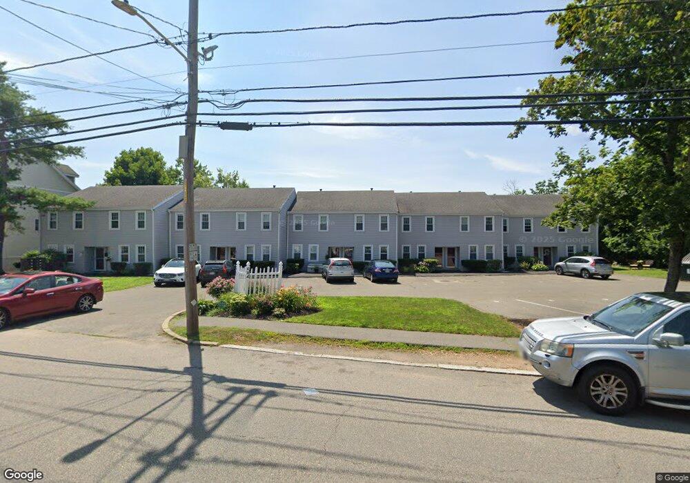
52 Warren St Unit 7 Peabody, MA 01960
Peabody Town Center NeighborhoodEstimated Value: $430,000 - $454,000
2
Beds
2
Baths
1,072
Sq Ft
$413/Sq Ft
Est. Value
About This Home
This home is located at 52 Warren St Unit 7, Peabody, MA 01960 and is currently estimated at $443,017, approximately $413 per square foot. 52 Warren St Unit 7 is a home located in Essex County with nearby schools including Peabody Veterans Memorial High School, St John The Baptist School, and Bishop Fenwick High School.
Ownership History
Date
Name
Owned For
Owner Type
Purchase Details
Closed on
Jul 3, 2018
Sold by
Sherman Judith E
Bought by
Johnson Melinda J and Sherman Judith E
Current Estimated Value
Purchase Details
Closed on
May 25, 2011
Sold by
Vogel Kevin A
Bought by
Vogel Kevin A
Purchase Details
Closed on
Oct 28, 1999
Sold by
Patterson Richard B
Bought by
Sherman Judith E
Create a Home Valuation Report for This Property
The Home Valuation Report is an in-depth analysis detailing your home's value as well as a comparison with similar homes in the area
Home Values in the Area
Average Home Value in this Area
Purchase History
| Date | Buyer | Sale Price | Title Company |
|---|---|---|---|
| Johnson Melinda J | -- | -- | |
| Vogel Kevin A | -- | -- | |
| Sherman Judith E | $129,900 | -- |
Source: Public Records
Mortgage History
| Date | Status | Borrower | Loan Amount |
|---|---|---|---|
| Previous Owner | Sherman Judith E | $90,000 | |
| Previous Owner | Sherman Judith E | $105,700 | |
| Previous Owner | Sherman Judith E | $63,000 |
Source: Public Records
Tax History Compared to Growth
Tax History
| Year | Tax Paid | Tax Assessment Tax Assessment Total Assessment is a certain percentage of the fair market value that is determined by local assessors to be the total taxable value of land and additions on the property. | Land | Improvement |
|---|---|---|---|---|
| 2025 | $3,322 | $358,700 | $0 | $358,700 |
| 2024 | $3,166 | $347,100 | $0 | $347,100 |
| 2023 | $3,043 | $319,600 | $0 | $319,600 |
| 2022 | $2,894 | $286,500 | $0 | $286,500 |
| 2021 | $2,807 | $267,600 | $0 | $267,600 |
| 2020 | $2,603 | $242,400 | $0 | $242,400 |
| 2019 | $2,669 | $242,400 | $0 | $242,400 |
| 2018 | $2,526 | $220,400 | $0 | $220,400 |
| 2017 | $2,258 | $192,000 | $0 | $192,000 |
| 2016 | $2,252 | $188,900 | $0 | $188,900 |
| 2015 | $2,052 | $166,800 | $0 | $166,800 |
Source: Public Records
Map
Nearby Homes
- 16 Ethel Ave
- 1 Ethel Ave
- 21 Emerson St
- 48 Franklin St
- 2 Ethel Ave Unit 2
- 8R Elm St Unit 2
- 6 Munroe St
- 26 Elm St
- 62 Wallis St
- 5 Tremont Place
- 46 Wallis St
- 4 Northend St
- 27 Pulaski St
- 46 Walnut St
- 4R Forest St
- 111 Foster St Unit 401
- 111 Foster St Unit 416
- 10 Elliott Place Unit 1R
- 28 Sabino Farm Rd
- 32 Mason St
- 52 Warren St Unit 10
- 52 Warren St Unit 9
- 52 Warren St Unit 8
- 52 Warren St Unit 6
- 52 Warren St Unit 5
- 52 Warren St Unit 4
- 52 Warren St Unit 3
- 52 Warren St Unit 2
- 100 Warren St Unit 2
- 100 Warren St Unit 1
- 100 Warren St Unit 3
- 100 Warren St Unit 5
- 47 Warren St
- 45 Warren St
- 13 Drake Way Unit 13
- 9 Drake Way Unit 9
- 7 Drake Way Unit 7
- 43 Warren St
- 39 Warren St
- 22 Berry St