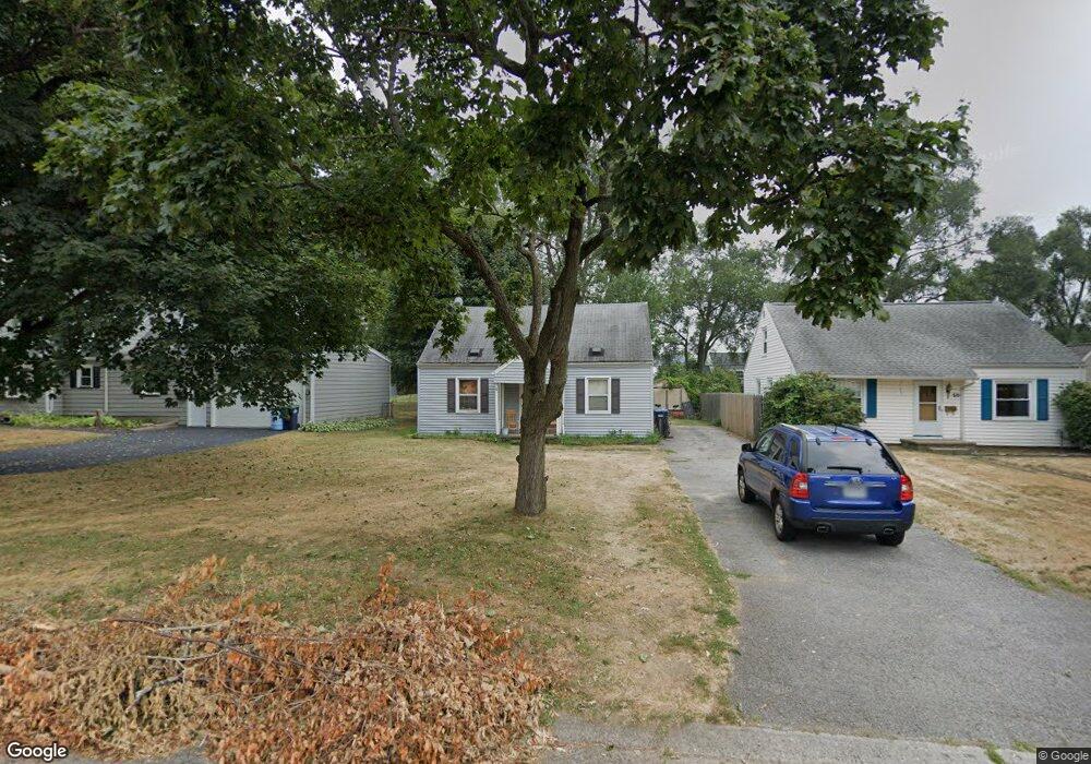
52 Whitman Rd Rochester, NY 14616
Estimated Value: $184,901 - $211,000
3
Beds
1
Bath
1,248
Sq Ft
$160/Sq Ft
Est. Value
About This Home
This home is located at 52 Whitman Rd, Rochester, NY 14616 and is currently estimated at $200,225, approximately $160 per square foot. 52 Whitman Rd is a home located in Monroe County with nearby schools including Greece Community Early Learning Center, Longridge Elementary School, and Olympia High School.
Ownership History
Date
Name
Owned For
Owner Type
Purchase Details
Closed on
Jul 11, 2007
Sold by
Sec Of Housing & Urban De
Bought by
Cilino Vincenzo
Current Estimated Value
Home Financials for this Owner
Home Financials are based on the most recent Mortgage that was taken out on this home.
Original Mortgage
$34,960
Outstanding Balance
$26,206
Interest Rate
10.8%
Mortgage Type
Adjustable Rate Mortgage/ARM
Estimated Equity
$174,019
Create a Home Valuation Report for This Property
The Home Valuation Report is an in-depth analysis detailing your home's value as well as a comparison with similar homes in the area
Home Values in the Area
Average Home Value in this Area
Purchase History
| Date | Buyer | Sale Price | Title Company |
|---|---|---|---|
| Cilino Vincenzo | $46,000 | -- |
Source: Public Records
Mortgage History
| Date | Status | Borrower | Loan Amount |
|---|---|---|---|
| Open | Cilino Vincenzo | $34,960 |
Source: Public Records
Tax History Compared to Growth
Tax History
| Year | Tax Paid | Tax Assessment Tax Assessment Total Assessment is a certain percentage of the fair market value that is determined by local assessors to be the total taxable value of land and additions on the property. | Land | Improvement |
|---|---|---|---|---|
| 2024 | $4,460 | $81,900 | $14,400 | $67,500 |
| 2023 | $4,250 | $81,900 | $14,400 | $67,500 |
| 2022 | $3,970 | $82,000 | $16,000 | $66,000 |
| 2021 | $3,922 | $82,000 | $16,000 | $66,000 |
| 2020 | $3,923 | $82,000 | $16,000 | $66,000 |
| 2019 | $3,651 | $82,000 | $16,000 | $66,000 |
| 2018 | $3,987 | $79,000 | $16,000 | $63,000 |
| 2017 | $1,915 | $79,000 | $16,000 | $63,000 |
| 2016 | $3,651 | $79,000 | $16,000 | $63,000 |
| 2015 | -- | $79,000 | $16,000 | $63,000 |
| 2014 | -- | $79,000 | $16,000 | $63,000 |
Source: Public Records
Map
Nearby Homes
- 868 Stone Rd
- 217 Duffern Dr
- 260 Arlidge Dr
- 25 Williston Rd
- 139 Lillian Ln Unit PVT
- 2729 Dewey Ave
- 226 Oakwood Rd
- 248 Haviland Park
- 104 Barnard St
- 2600 Dewey Ave
- 58 Florence Ave
- 89 Elwood Dr
- 110 Wildwood Dr
- 29 Barnard St
- 267 Woodcrest Rd
- 374 Stone Rd
- 369 Stone Rd
- 136 Castleford Rd
- 232 Almay Rd
- 388 Wildwood Dr