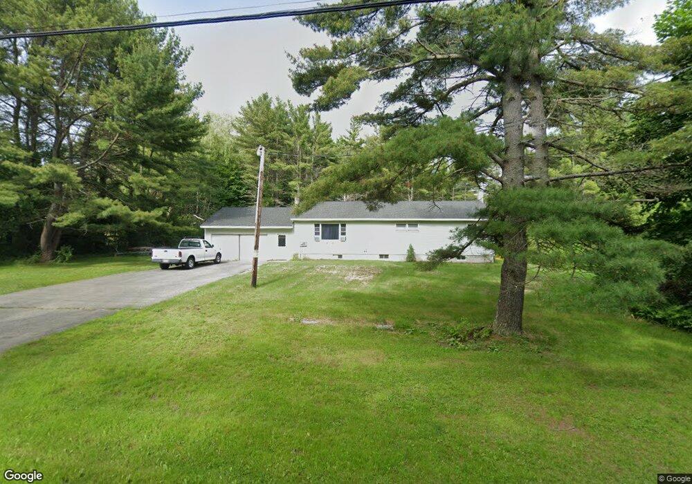
52 Wilson Rd Kittery, ME 03904
Estimated Value: $445,000 - $471,469
2
Beds
1
Bath
1,248
Sq Ft
$365/Sq Ft
Est. Value
About This Home
This home is located at 52 Wilson Rd, Kittery, ME 03904 and is currently estimated at $455,617, approximately $365 per square foot. 52 Wilson Rd is a home located in York County with nearby schools including Shapleigh School, Horace Mitchell Primary School, and Robert W Traip Academy.
Ownership History
Date
Name
Owned For
Owner Type
Purchase Details
Closed on
May 21, 2021
Sold by
Painchaud Timothy E
Bought by
Painchaud Brian P and Painchaud Wendy L
Current Estimated Value
Home Financials for this Owner
Home Financials are based on the most recent Mortgage that was taken out on this home.
Original Mortgage
$200,500
Outstanding Balance
$181,703
Interest Rate
3.1%
Mortgage Type
Purchase Money Mortgage
Estimated Equity
$273,914
Create a Home Valuation Report for This Property
The Home Valuation Report is an in-depth analysis detailing your home's value as well as a comparison with similar homes in the area
Home Values in the Area
Average Home Value in this Area
Purchase History
| Date | Buyer | Sale Price | Title Company |
|---|---|---|---|
| Painchaud Brian P | -- | None Available |
Source: Public Records
Mortgage History
| Date | Status | Borrower | Loan Amount |
|---|---|---|---|
| Open | Painchaud Brian P | $200,500 |
Source: Public Records
Tax History
| Year | Tax Paid | Tax Assessment Tax Assessment Total Assessment is a certain percentage of the fair market value that is determined by local assessors to be the total taxable value of land and additions on the property. | Land | Improvement |
|---|---|---|---|---|
| 2024 | $3,784 | $266,500 | $117,700 | $148,800 |
| 2023 | $3,627 | $266,500 | $117,700 | $148,800 |
| 2022 | $3,592 | $266,500 | $117,700 | $148,800 |
| 2021 | $3,787 | $291,300 | $117,700 | $173,600 |
| 2020 | $3,758 | $291,300 | $117,700 | $173,600 |
| 2019 | $3,504 | $201,400 | $70,200 | $131,200 |
| 2018 | $3,384 | $201,400 | $70,200 | $131,200 |
| 2017 | $3,323 | $201,400 | $70,200 | $131,200 |
| 2016 | $3,232 | $201,400 | $70,200 | $131,200 |
| 2015 | $3,156 | $201,400 | $70,200 | $131,200 |
| 2014 | $3,126 | $201,400 | $70,200 | $131,200 |
| 2013 | $3,065 | $201,400 | $70,200 | $131,200 |
Source: Public Records
Map
Nearby Homes
- 19 Seward Farm Ln
- 19 Aspen Cir
- 62 Village Dr Unit 62
- 100 Shepard's Cove Rd Unit F204
- 100 Shepard's Cove Rd Unit G107
- 100 Shepards Cove Rd Unit F204
- 22 Summer Ln
- 10 Lewis Rd
- 30 Drake Ln
- 8 Caslyn Dr
- 49 Sandalwood Cir
- 59 Sandalwood Cir
- 8 Spruce Point Rd
- 20 Colony Way
- 14 Colony Way
- 5 Spinney Way Unit 9
- 50 Lewis Rd
- 1128 State Rd
- 161 Bolt Hill Rd
- 30-3 Regency Cir Unit 3
- 54 Wilson Rd
- 56 Wilson Rd
- 51 Wilson Rd
- 0 - Lot B Wilson Rd
- 45 Wilson Rd
- 60 Wilson Rd
- 41 Wilson Rd
- 9 Pearson Place
- 61 Wilson Rd
- 0 - Lot A Wilson Rd
- TBD Wilson Rd
- 33 Wilson Rd
- 8 Pearson Place
- 7 Pearson Place
- 40 Wilson Rd
- 6 Pearson Place
- 39 Seward Farm Ln
- 37 Seward Farm Ln
- 1 Pearson Place
- 5 Pearson Place
Your Personal Tour Guide
Ask me questions while you tour the home.